Seven and a half years after the tsunami

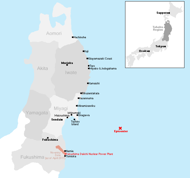
This is the 15th part of our open-ended series to document the recovery of the tsunami-hit coast of northeastern Japan where nearly 20,000 people lost their lives and entire towns were destroyed in the afternoon of March 11, 2011. Seven and a half years after the tsunami, we revisited some of the worst-hit cities along the Sanriku Coast in Miyagi and Iwate prefectures and walked the northernmost eight kilometers of the 700 kilometer long Michinoku Coastal Trail on October 23-24, 2018.
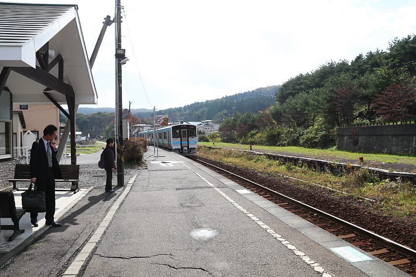
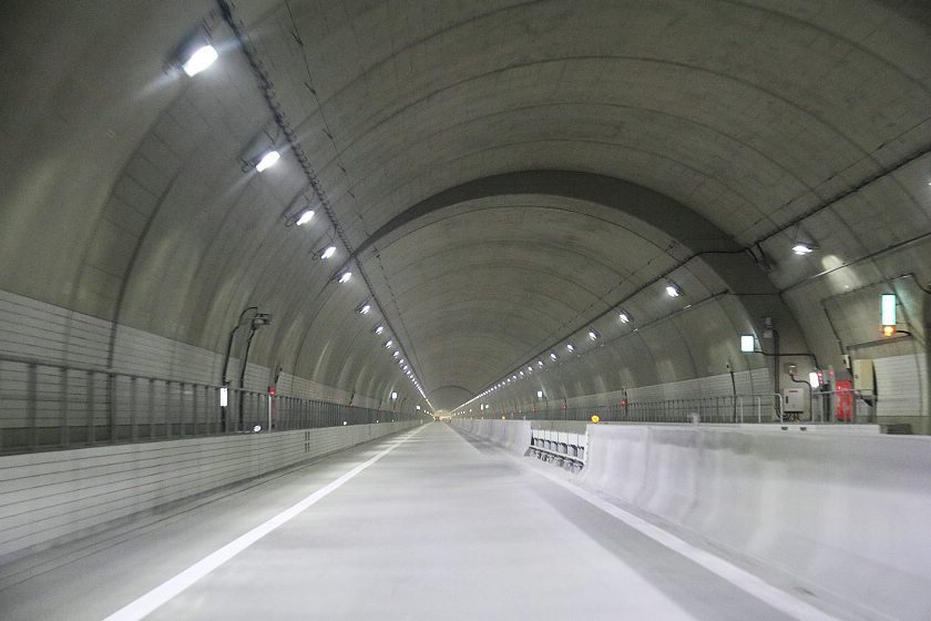
We traveled by rental car from Sendai northwards to Hachinohe, staying overnight in Miyako and covering over 400 kilometers. After 14 visits to the Sanriku Coast since 2011, we have acquired a rather fast travel pace, and I advise regular tourists to allocate more time for a similar itinerary. Steady openings of new sections of the Sanriku Expressway have, however, accelerated car travel along the coast considerably in recent years.
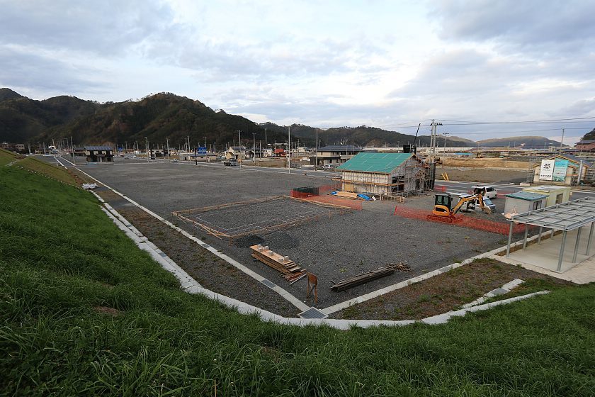
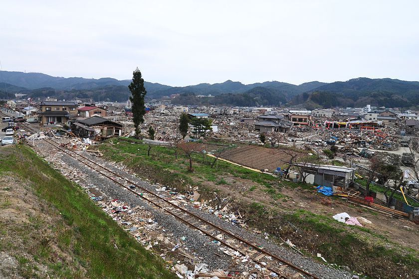
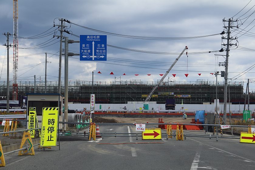
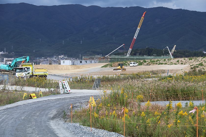
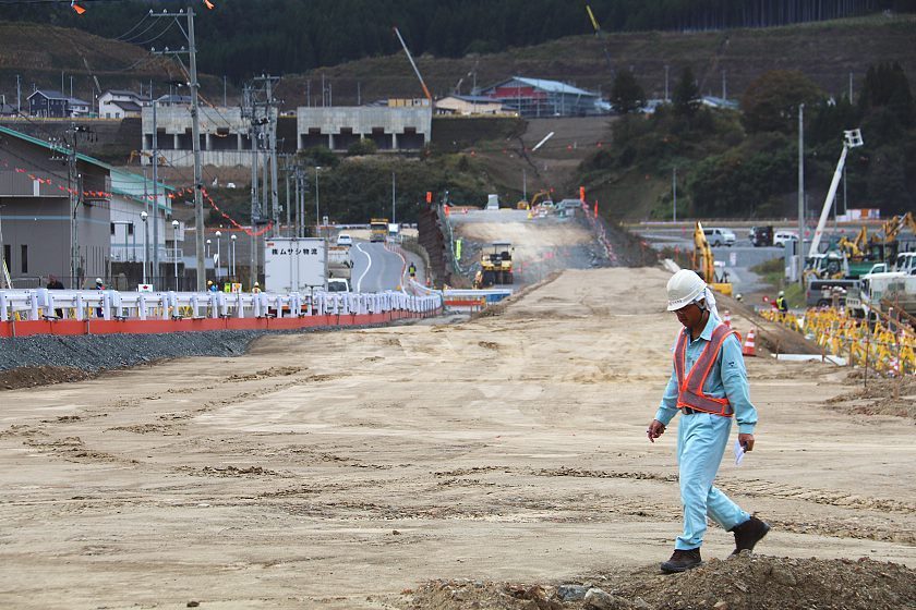
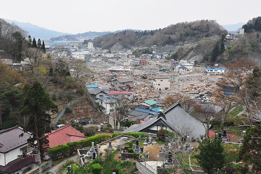
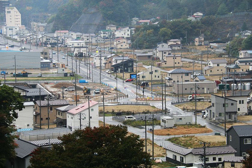
Since our last visit half a year ago, further progress has been made in laying the groundwork for rebuilding the worst affected city and town centers, while less badly affected districts have already seen residential buildings and their inhabitants return in considerable numbers. In several coastal cities, work on memorial parks is now ongoing.
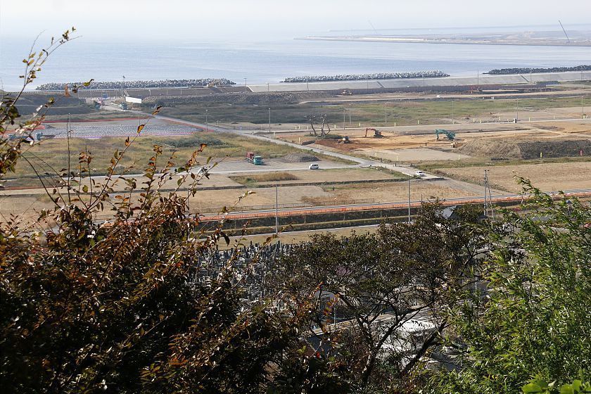
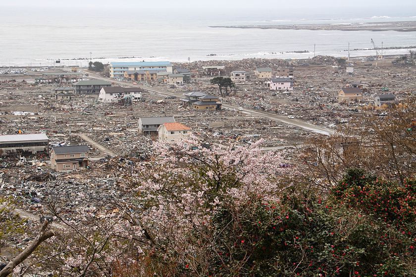
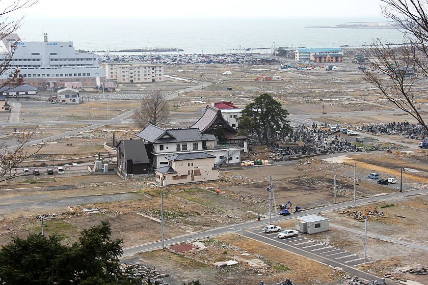
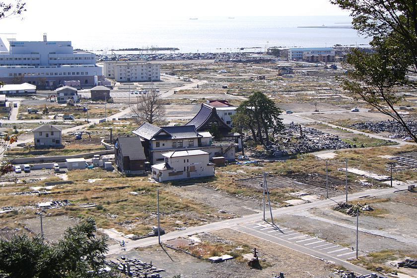
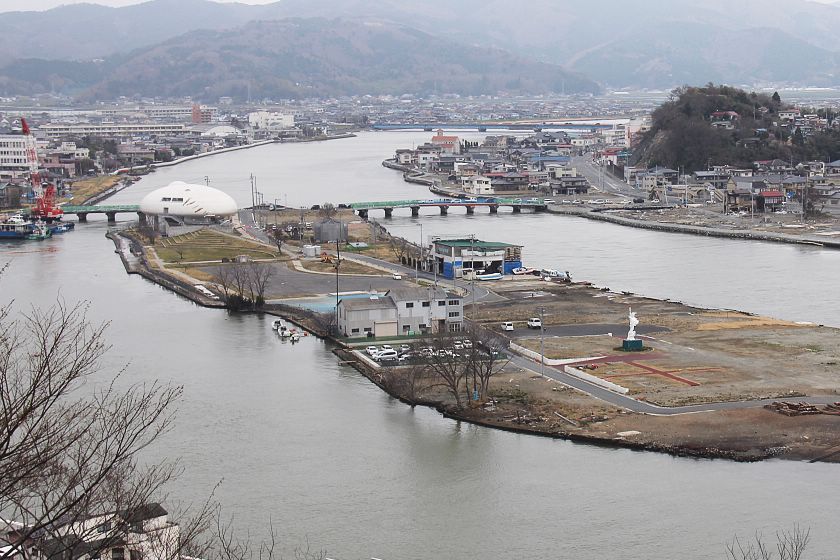
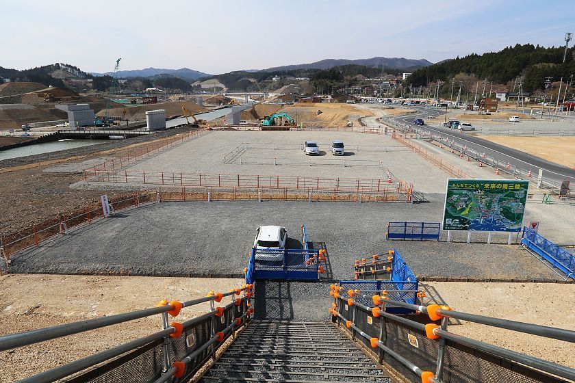
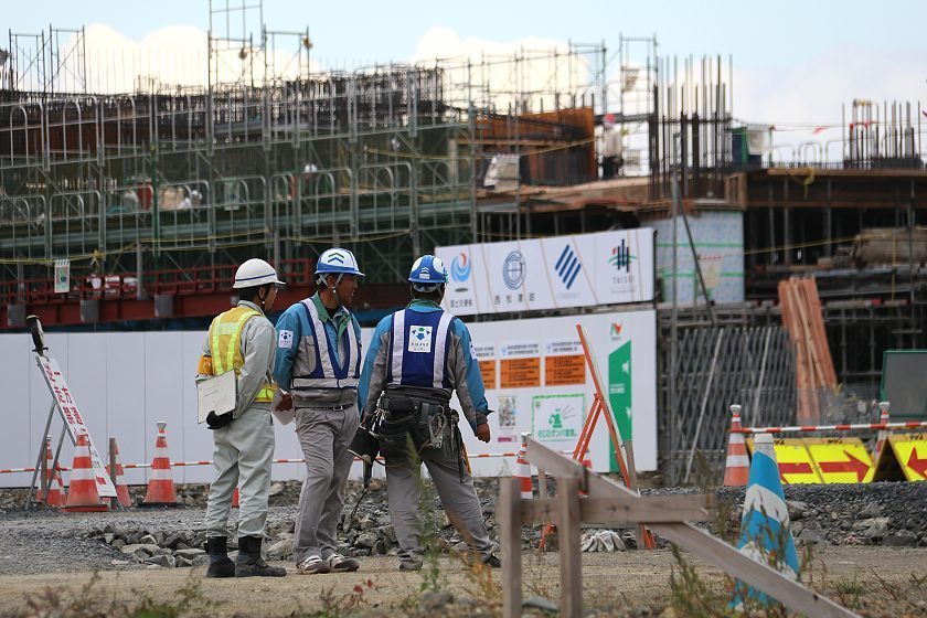
Ishinomaki is one of the cities which have plans for a memorial park. Ishinomaki's park will be very spacious, covering a large part of the coastal Minamihama district which was almost completely destroyed by the tsunami. The memorial park will consist of various green spaces with different plants and bodies of water. The park is scheduled to be opened by the 10th anniversary of the disaster.
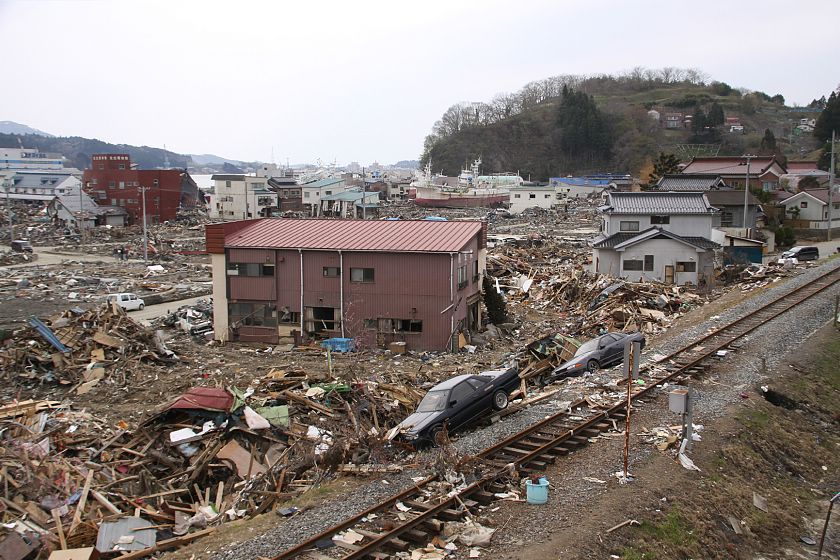
Compare: Oct 2018 - Apr 2011
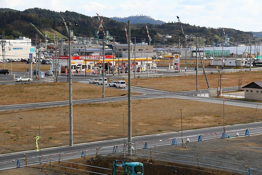
Compare: Oct 2018 - Apr 2018 - Apr 2017 - May 2016 - Nov 2015 - Apr 2014 - Apr 2012 - Oct 2011 - Apr 2011
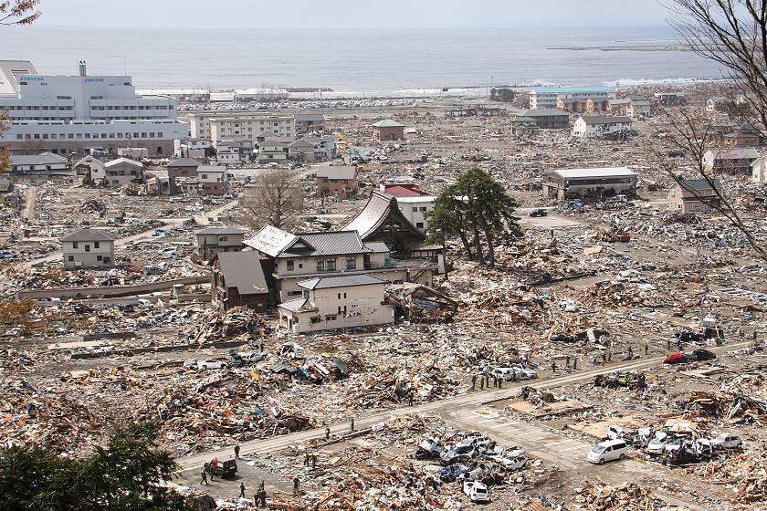
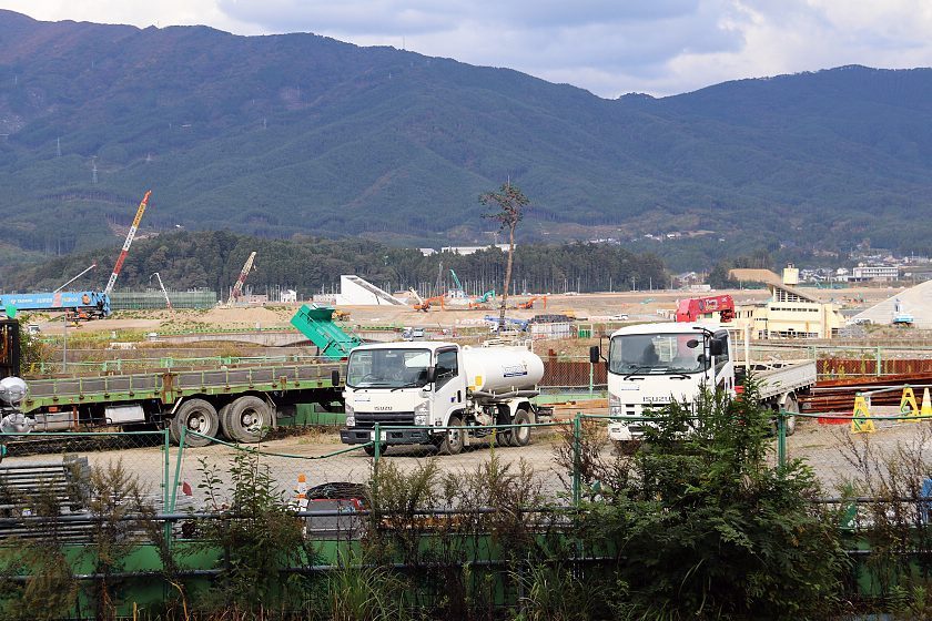
Compare: Oct 2018 - Apr 2018 - Apr 2017 - May 2016 - Apr 2014 - Apr 2012 - Apr 2011


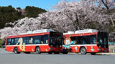
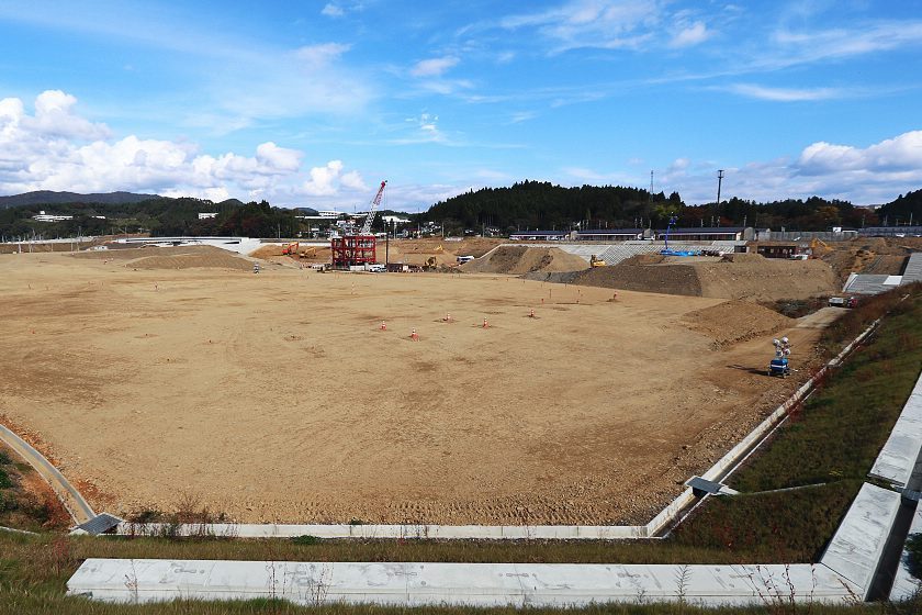
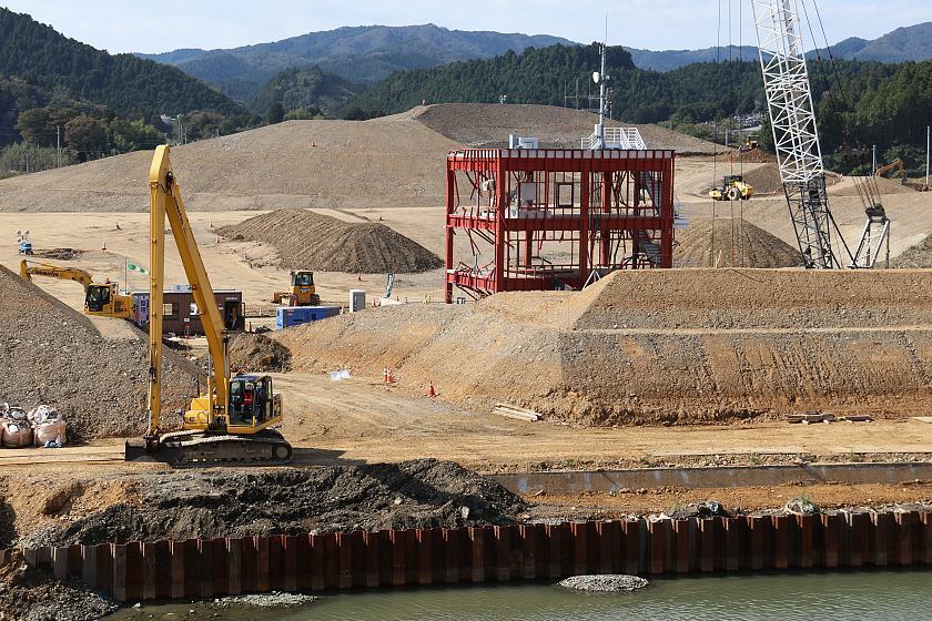
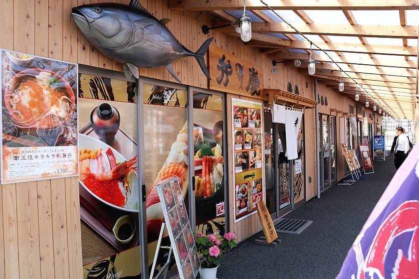
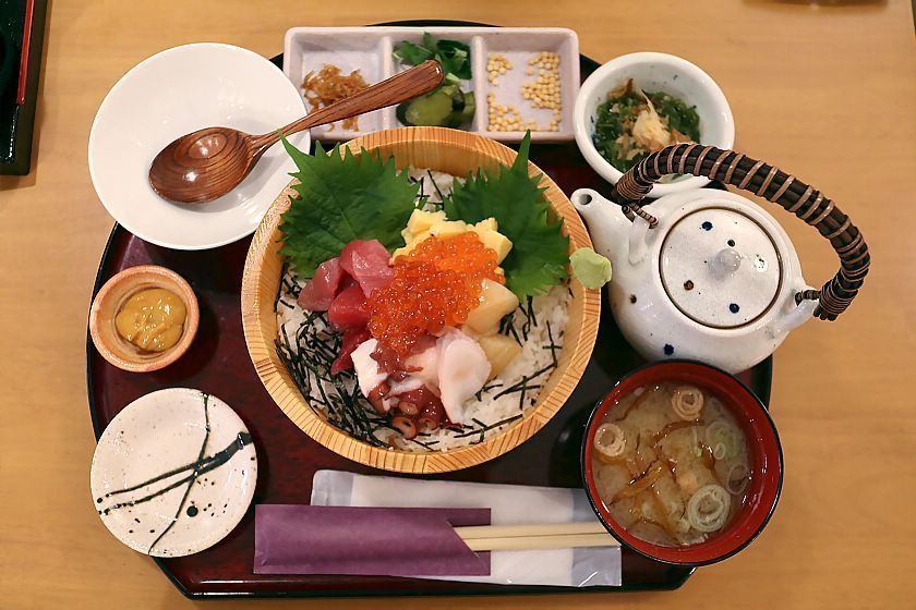
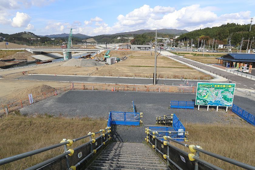
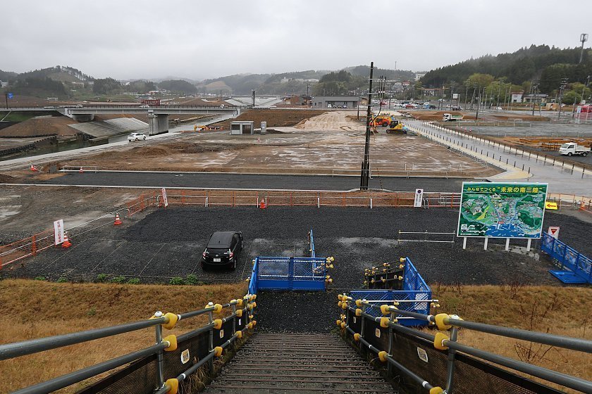
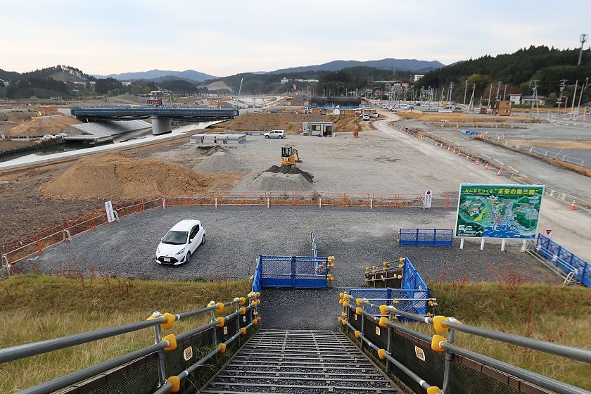
Minamisanriku's memorial park will surround the former Crisis Management Center and is scheduled to open in autumn 2020. During our stay in the town, we enjoyed a fresh seafood lunch at one of the multiple restaurants at the town's San San Shopping Village.
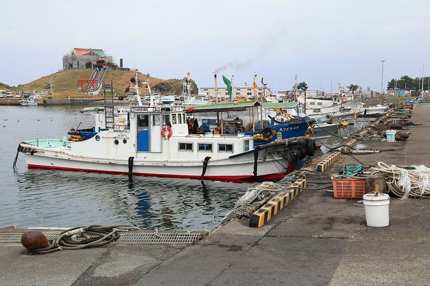
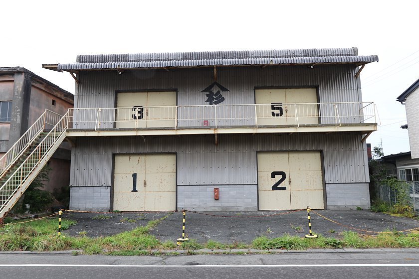
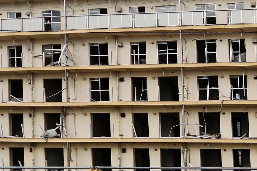
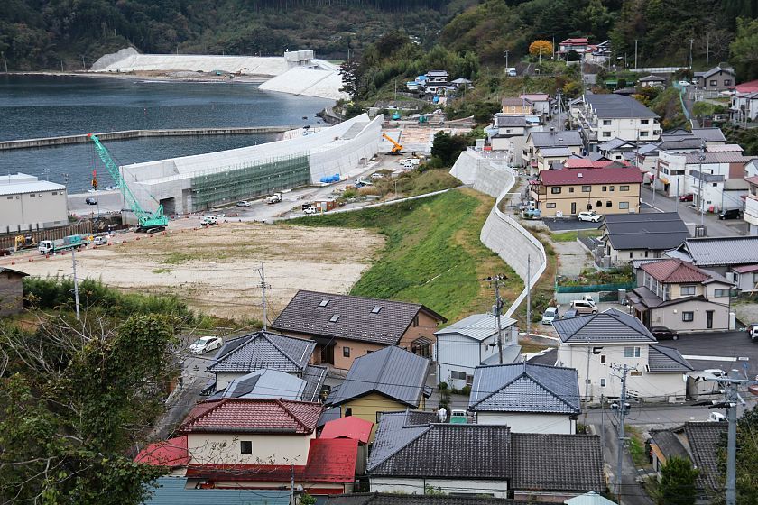
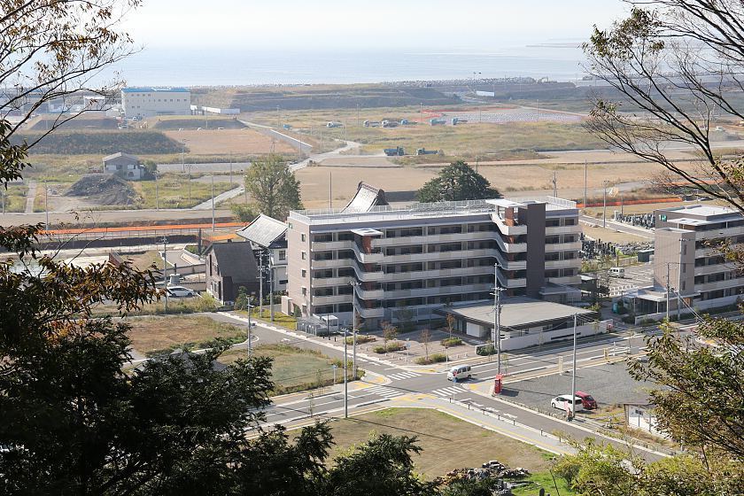
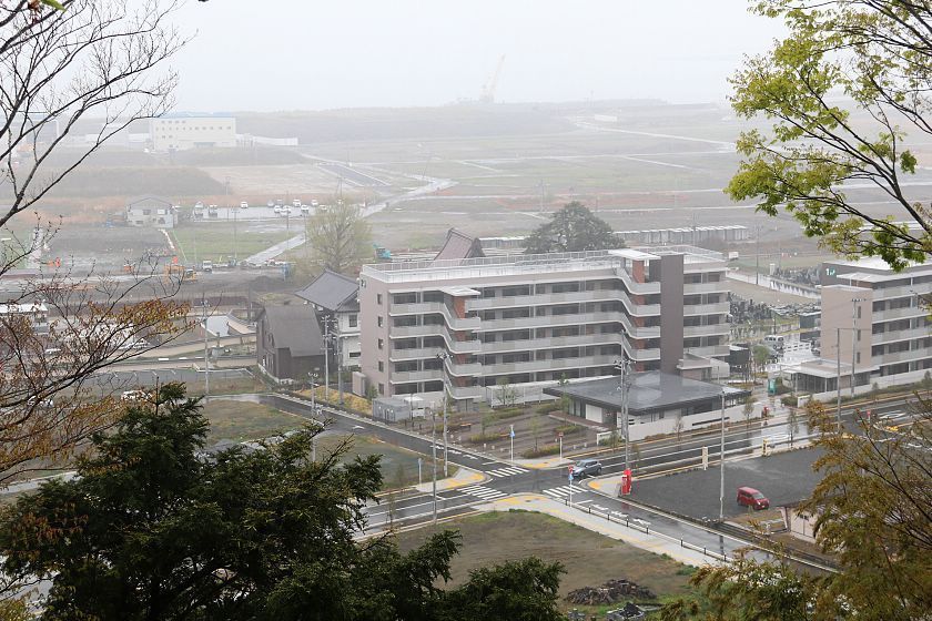
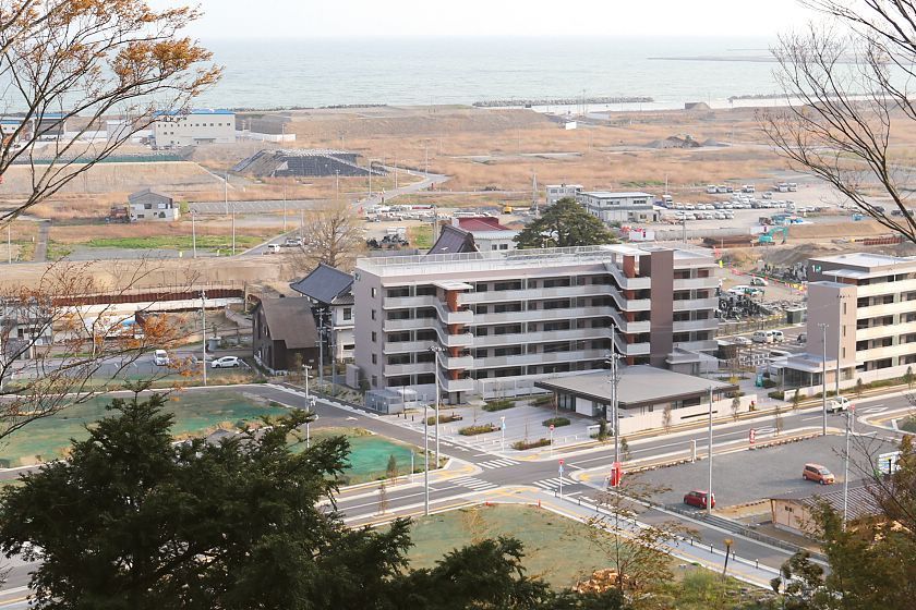
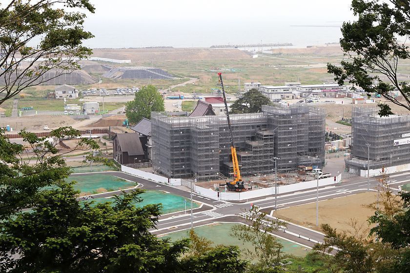
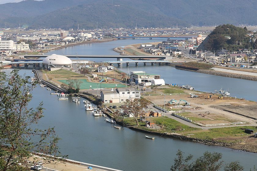
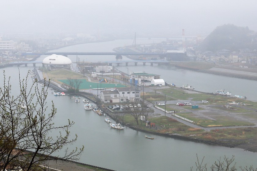
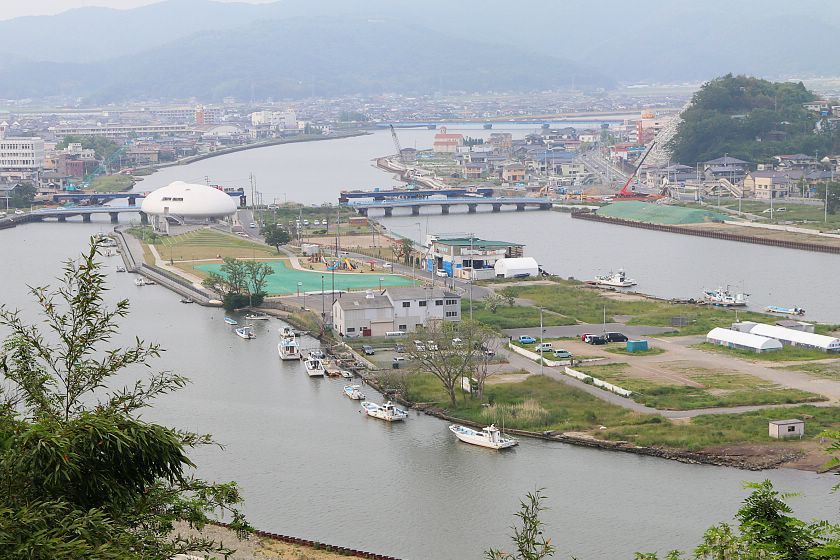
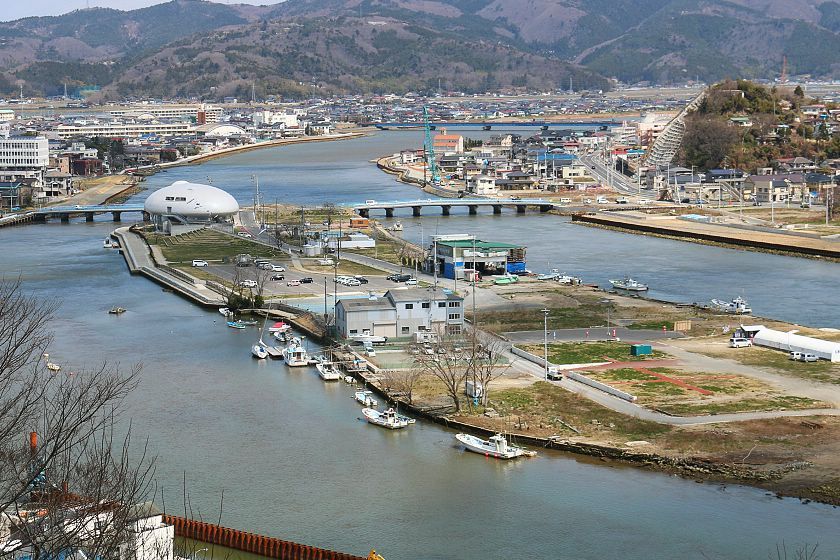
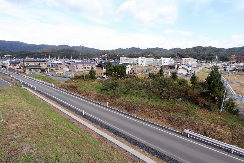
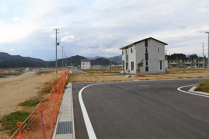
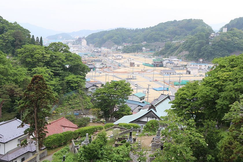
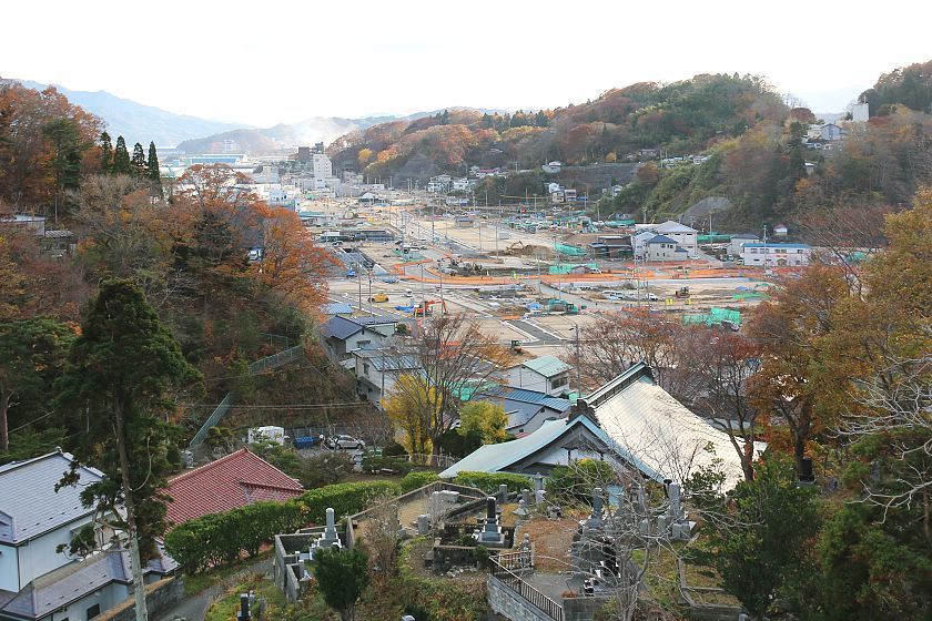
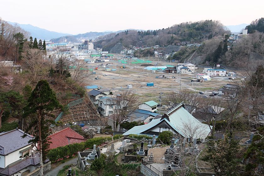
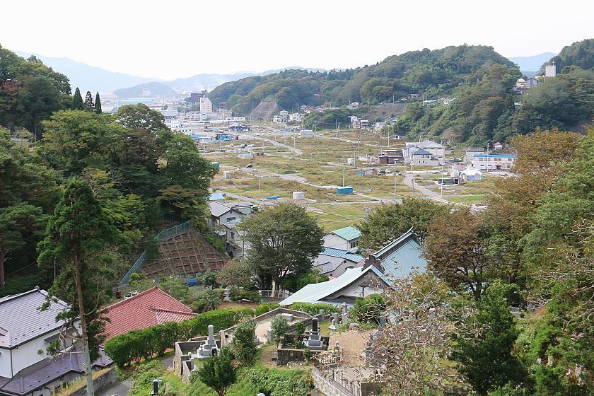
In Kesennuma, we made a stop in the Shishiori district which was badly damaged by the tsunami, but is now steadily coming back to life, as more and more residential, commercial and industrial buildings are being completed. The district was raised in elevation by a couple of meters for better protection from future tsunami.
Compare: Oct 2018 - Apr 2011
Compare: Oct 2018 - Apr 2011
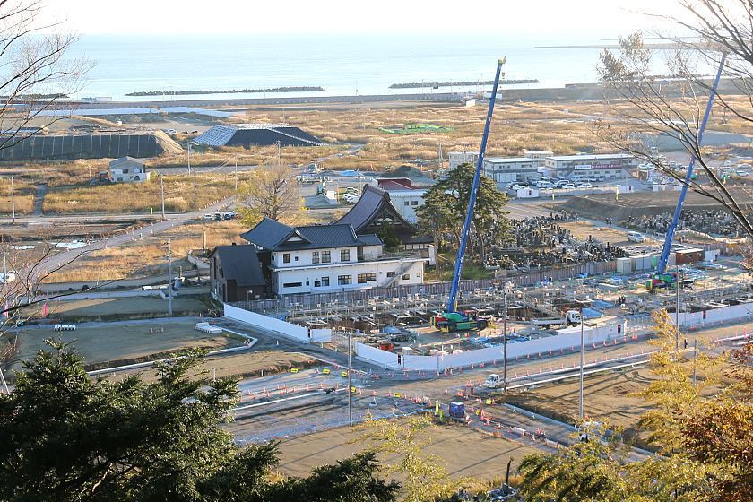
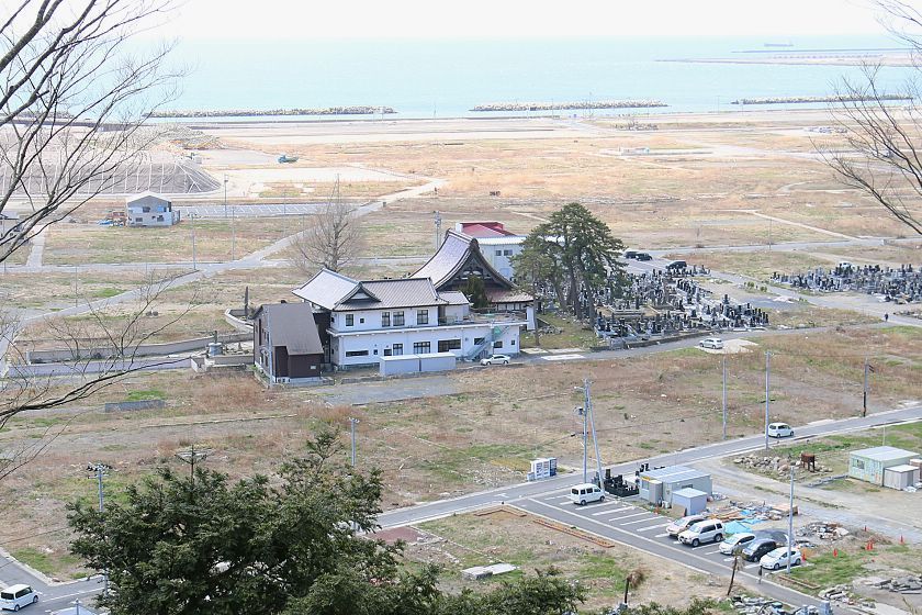
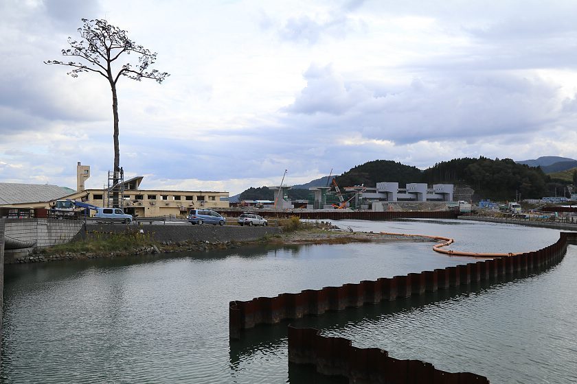
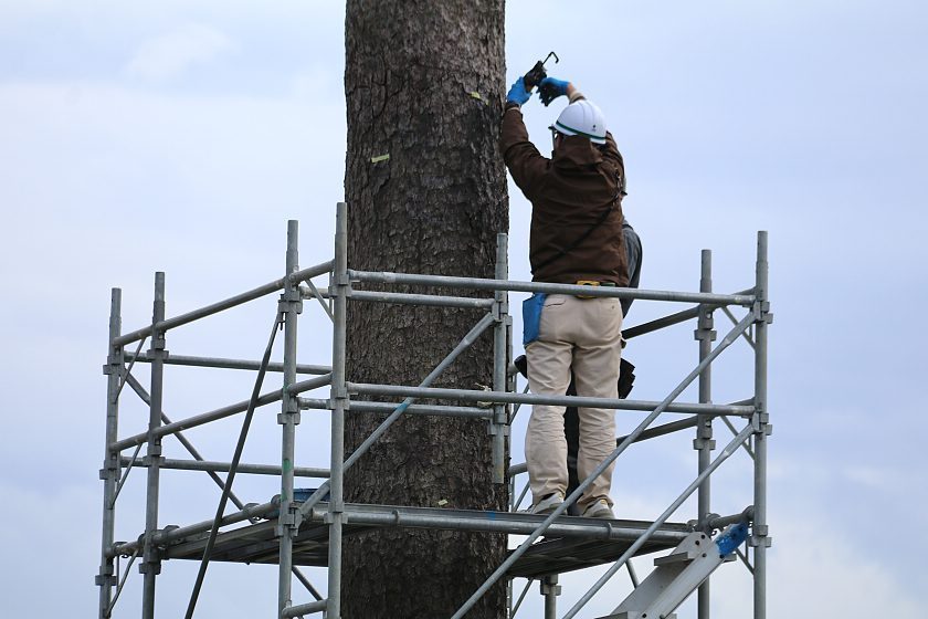
In Rikuzentakata we visited the Miracle Pine which can be reached in a 10-15 minute walk from a nearby temporary parking lot. Here, too, a memorial park is currently being built that will include the Miracle Pine, a former roadside station whose ruins have been preserved, and a museum complex. The museum, named Iwate Tsunami Memorial, is scheduled to open in September 2019 in time of the Rugby World Cup while the surrounding park area will take some more time to be completed.
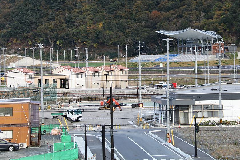
Kamaishi will be one of the twelve venues of the Rugby World Cup 2019, to be hosted by Japan in autumn 2019. The Kamaishi Recovery Memorial Stadium was recently completed in the city's Unosumai district which was destroyed by the tsunami and then raised in elevation. The first match was held there on August 19, 2018 between the local rugby team and Japan Rugby Top League club Yamaha Jubilo with start player Goromaru Ayumu.
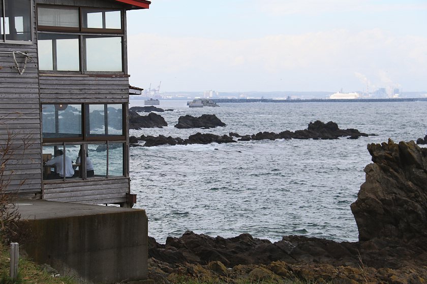
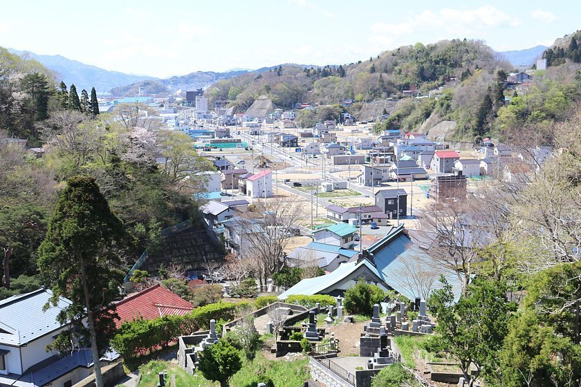
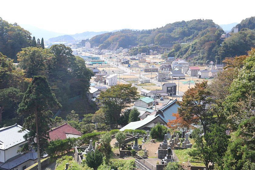
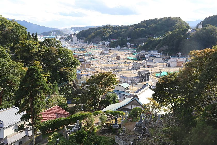
In Miyako, the Kuwagasaki district is becoming increasingly populated again, as the number of vacant lots is decreasing with each visit. We stayed again at The Park Hotel Jodogahama with its views of pine trees and the ocean that create a relaxing atmosphere difficult to beat.
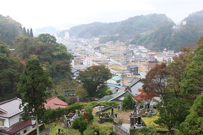
Compare: Oct 2018 - Apr 2018 - Oct 2017 - Oct 2016 - May 2016 - Nov 2015 - Apr 2014 - Oct 2013 - Apr 2011
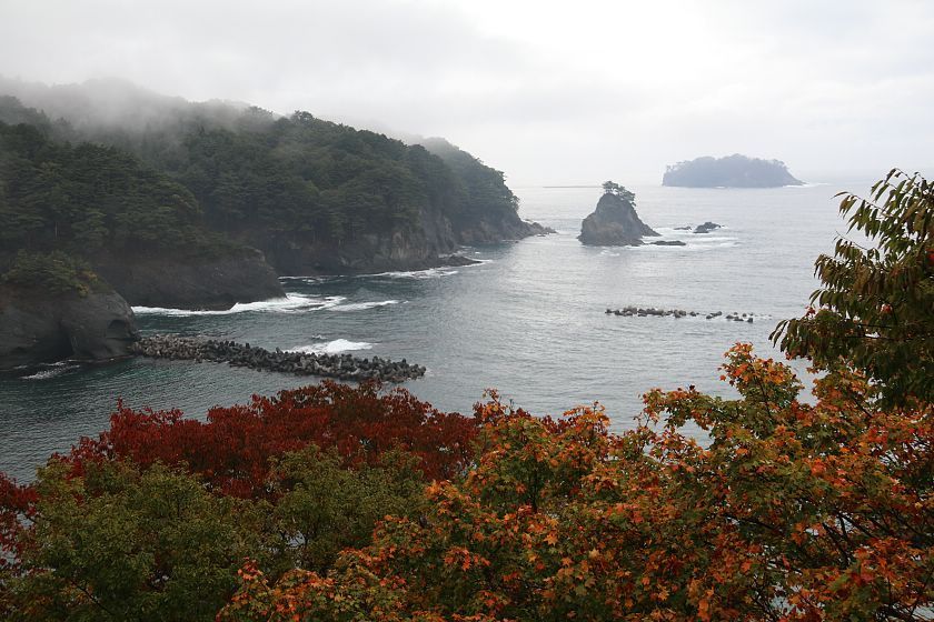
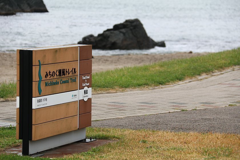
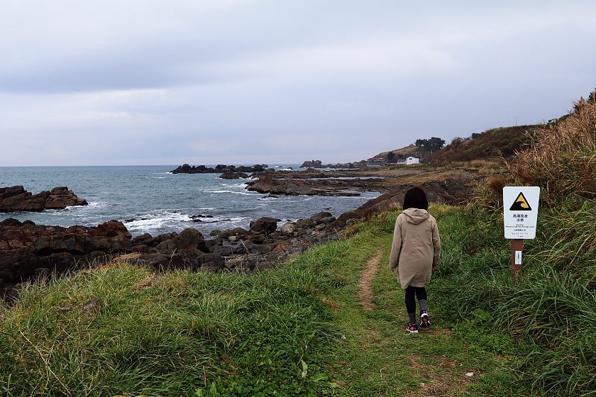
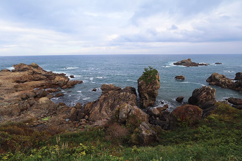
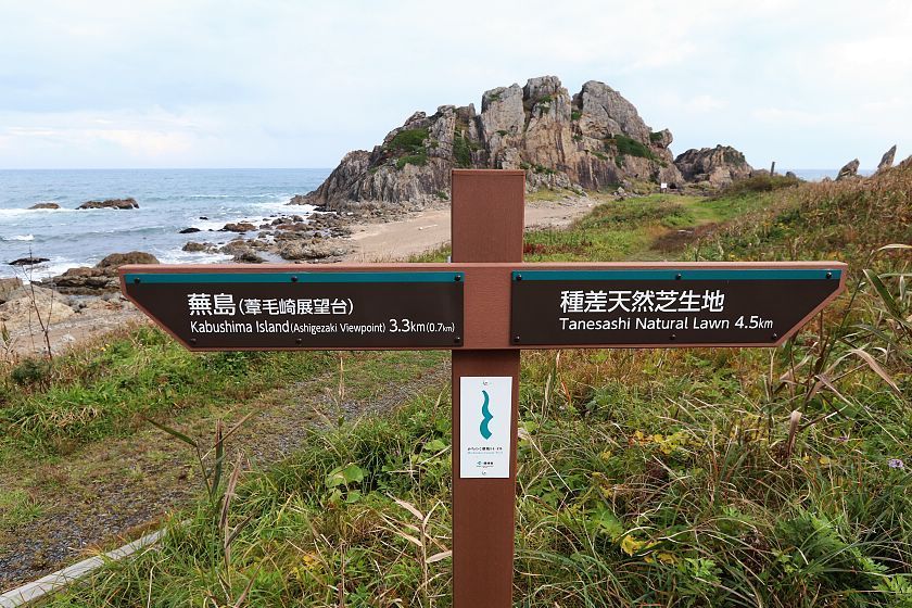
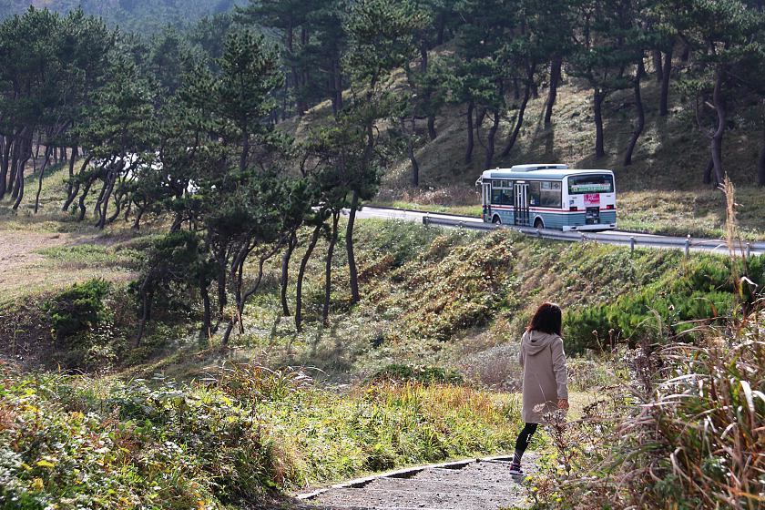
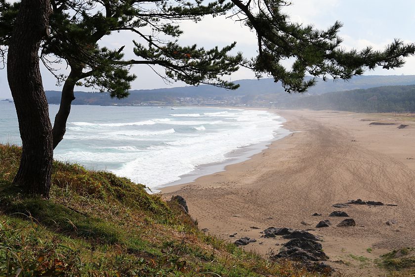
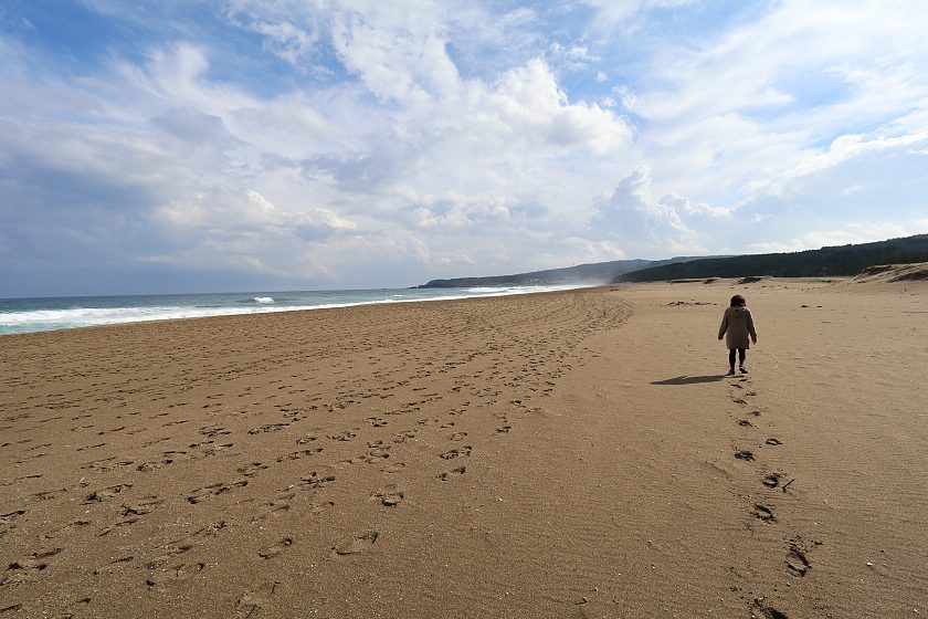
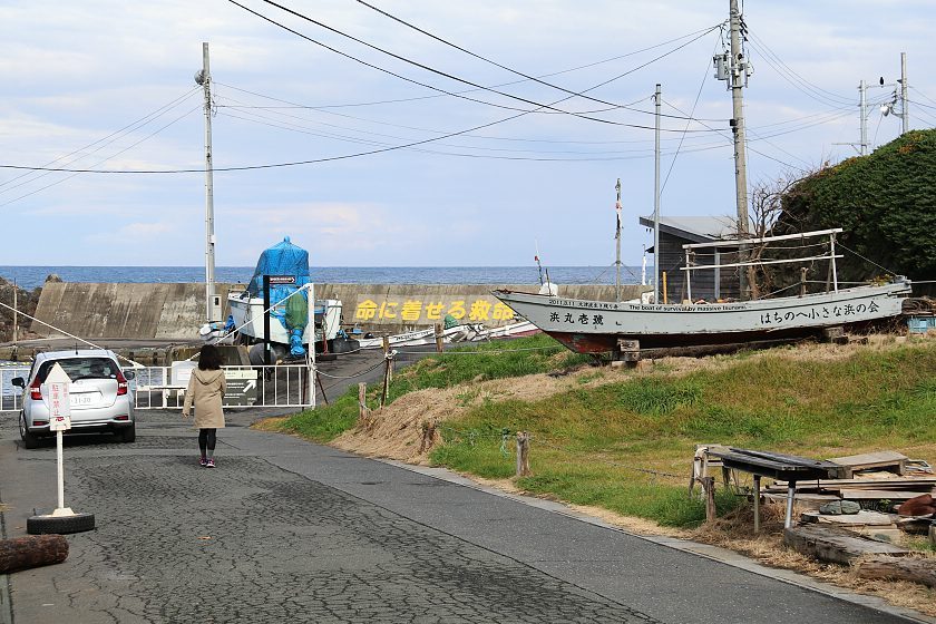
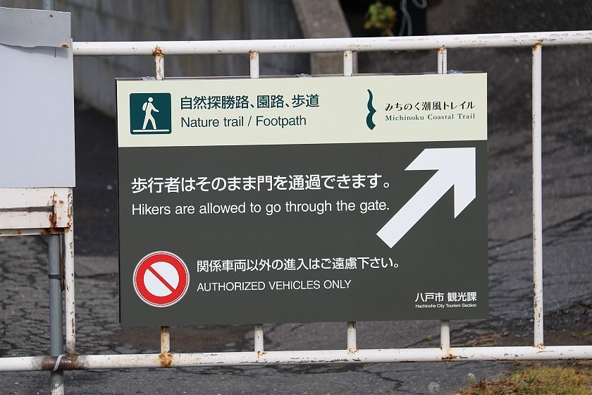
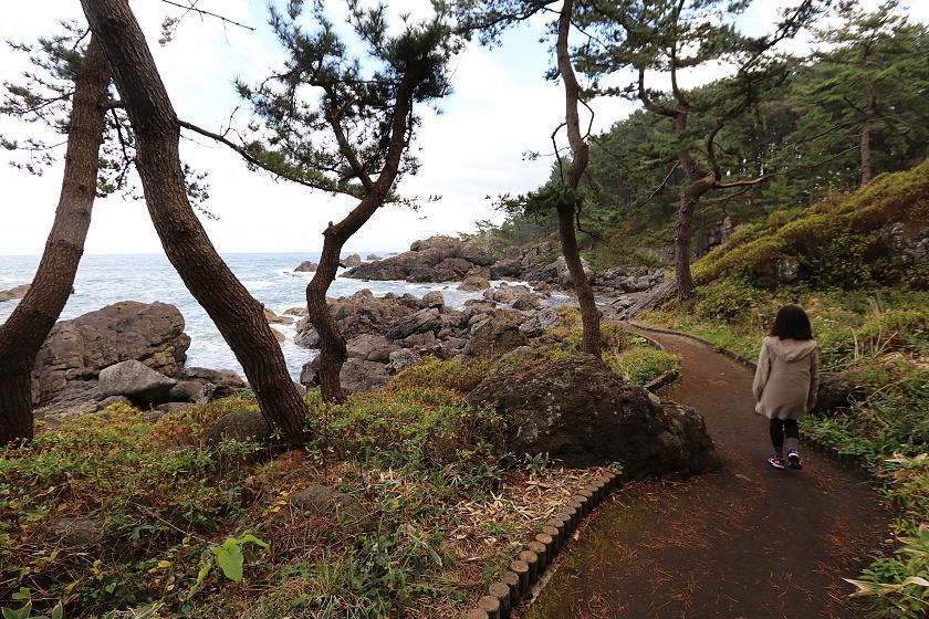
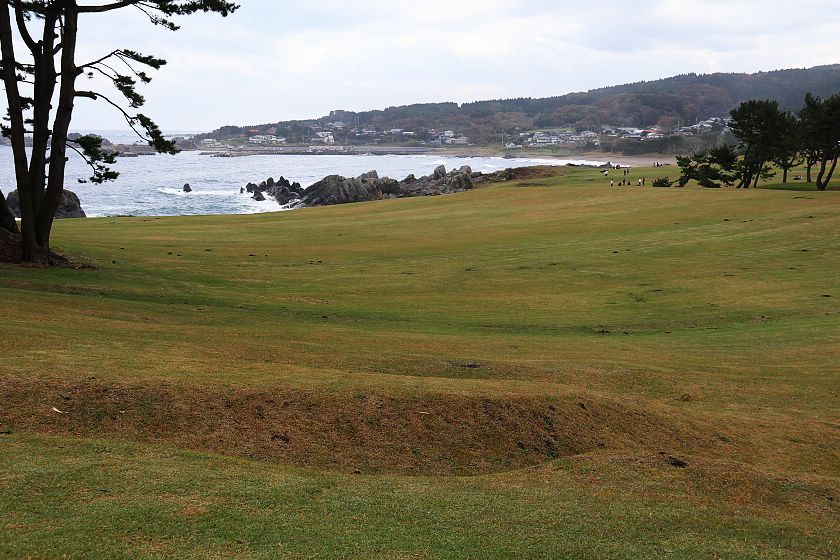
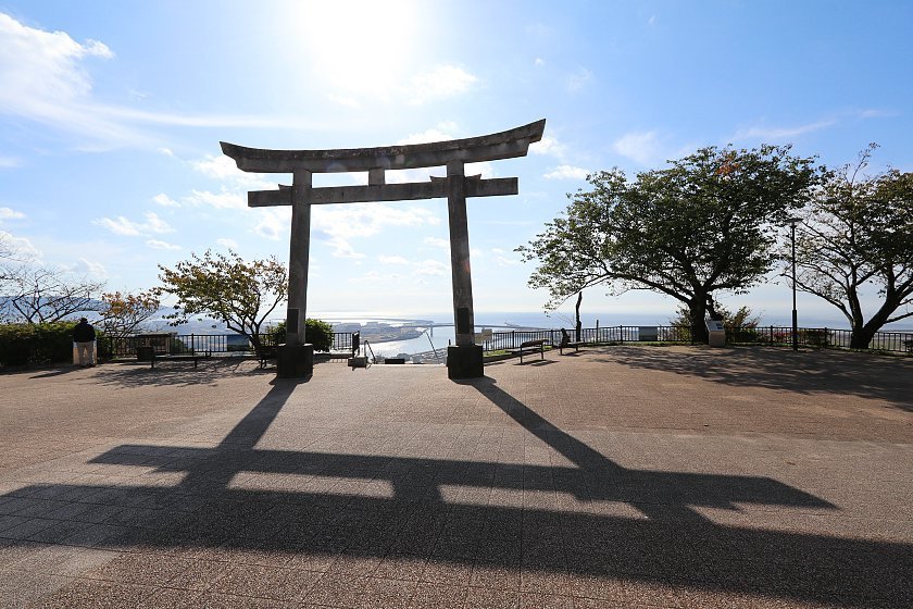
We ended our trip with a highlight: we finally walked the first section of the Michinoku Coastal Trail, a trail that follows the beautiful Pacific coast of the Tohoku Region for 700 kilometers, connecting Hachinohe in Aomori Prefecture with Soma in Fukushima Prefecture. The trail starts at Kabushima Shrine in the outskirts of Hachinohe, and we covered the particularly scenic eight first kilometers of it as far as the Tanesashi Coast. The mix of natural beauty, scenic views and fishing ports was highly attractive, and we are looking forward to covering more sections on upcoming recovery reports.