Peaks of the Gods: Exploring Kirishima-Kinkowan National Park
Kyushu, the southernmost of Japan's four main islands, is a land of volcanoes and ancient mythology.
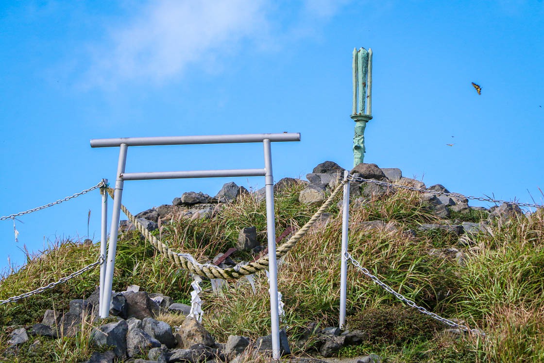
According to Shinto legend, Japan was created when two of the first of the gods dipped a sacred spear into the sea. When they pulled it from the primordial water, a drop fell back into the sea, transforming into the first island of Japan. Later, the high Sun Goddess Amaterasu commanded her grandson Ninigi no Mikoto to go to earth and bring order to the chaotic world below. To find the land through the clouds of heaven, he plunged the holy spear into the summit of a tall mountain and made his descent upon its peak.
The mountain - and the spear - still remain in southern Kyushu, in the actively volcanic Kirishima-Kinkowan National Park.
The park, spanning the prefectures of Kagoshima and Miyazaki, is home to a handful of volcanic mountain ranges and peaks, including the hiker's paradise of the Kirishima Mountains and one of Japan's most active volcanoes, Mt. Sakurajima, an ash cloud-belching giant that forms its own island in the scenic Kagoshima Bay.
To experience the park's otherworldly landscapes myself, I headed to Kagoshima to spend two days exploring this fascinating place.
Day 1: Kirishima Mountains
My plan for this trip was to hit two specific areas of this rather spread out national park. Day 1: a full day of hiking in the Kirishima Mountains, staying a night at an onsen ryokan in Kirishima Onsen. Day 2: exploring the onsen area and then visit Sakurajima itself, getting as close to the smoking volcano as possible.
To give myself the most flexibility, I decided to rent a car for this trip. Buses do run between most of the major tourist destinations here, but the frequency and timing of buses can make covering a lot of ground (especially in just two days) much more challenging.
So, I started my journey by driving straight into the heart of the Kirishima Mountains, reaching Ebino Kogen at about 8am. Ebino Kogen is a highland area at the foot of the mountains and is the trailhead for many hikes ranging from hour-long forest walks to full day treks across the entire mountain range.
Today, my first goal was the highest peak in the mountain range: Mt. Karakuni-dake.
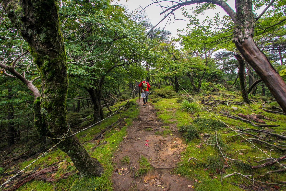
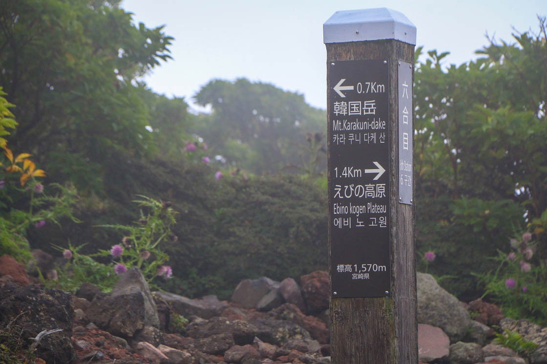
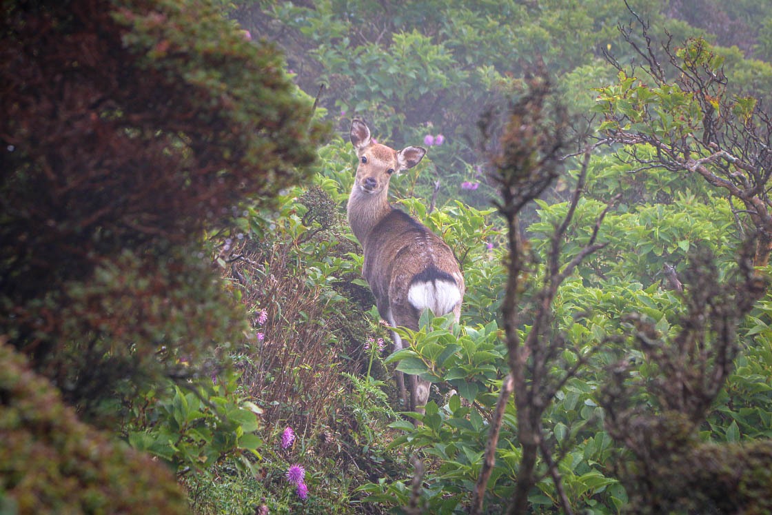
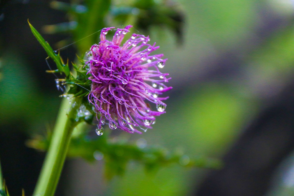
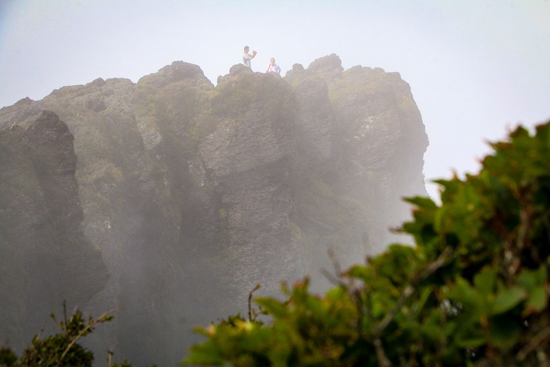
From Ebino Kogen, I hiked about one hour through a heavy, wet cloud. Though happily distracted by the beautiful mountain flowers and a few animals I spotted along the way, I was worried my view would be limited to just a few meters ahead of me (it's not for nothing Kirishima literally means "fog island").
But then, just as I reached the summit of Mt. Karakuni-dake, the clouds seemed to take pity on me and slowly lifted away, revealing the unreal landscape of Kirishima.
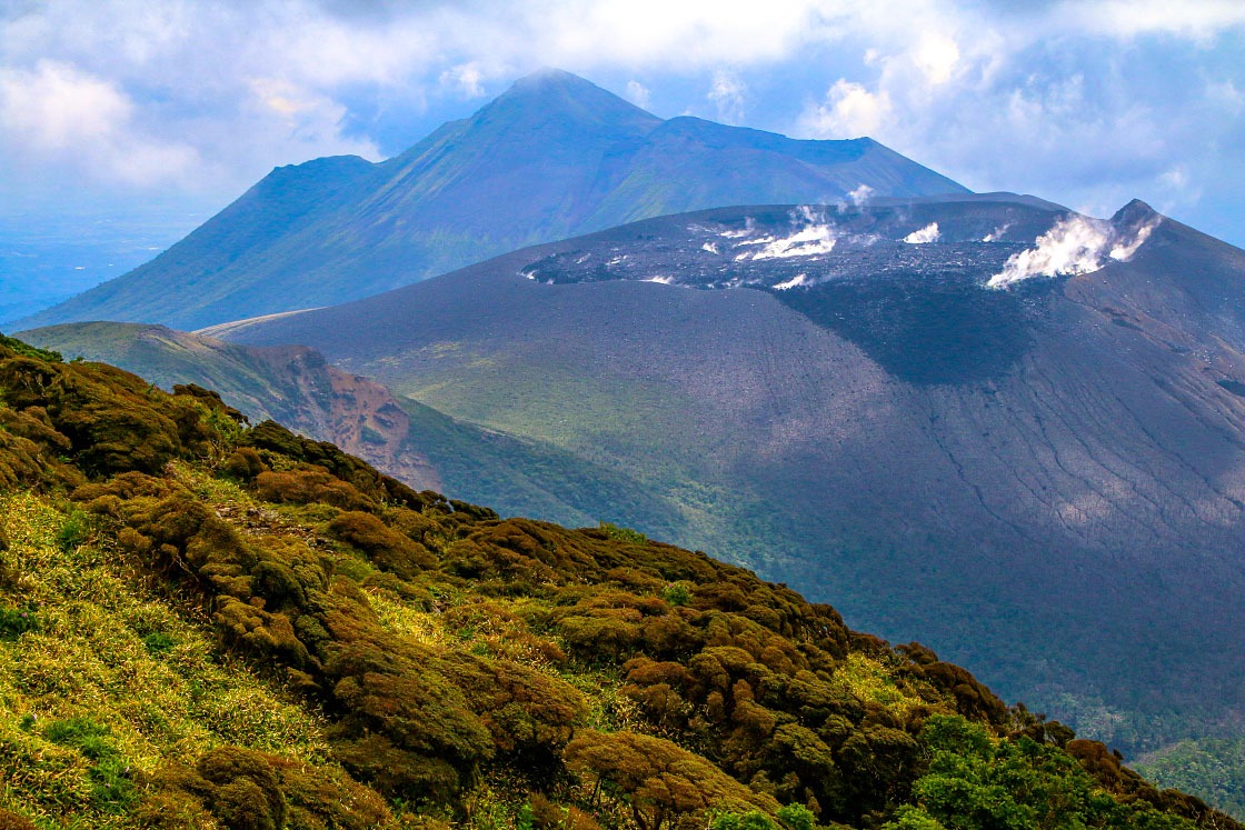
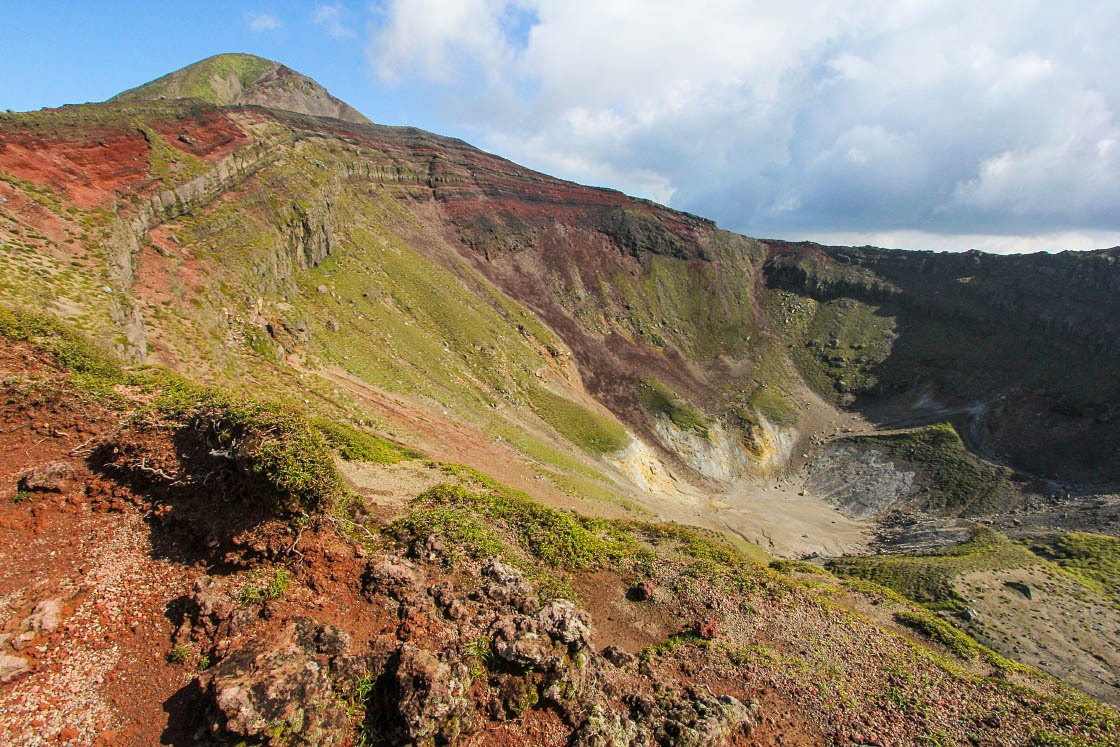
Ahead of me, commanding attention, was Mt. Shinmoe-dake. It seemed as if the tip of this peak had just been sliced off with a giant sword, leaving a perfectly flat top, freshly smoking from the trauma.
In reality, this peak violently erupted in 2011 and several more times afterwards, erasing the picturesque crater lake that used to sit atop it. Although Shinmoedake has calmed down in the meantime, its peak was still off-limit to hikers at the time of this writing.
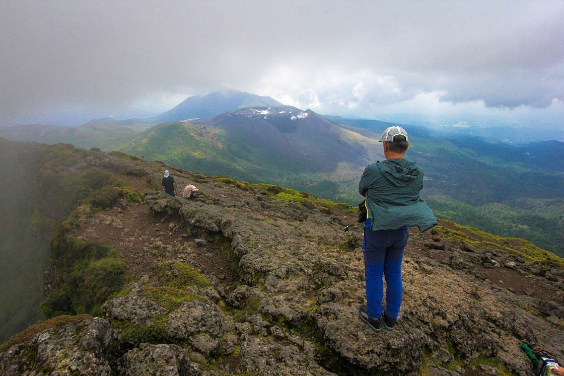
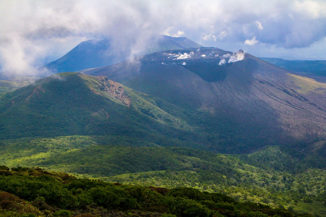
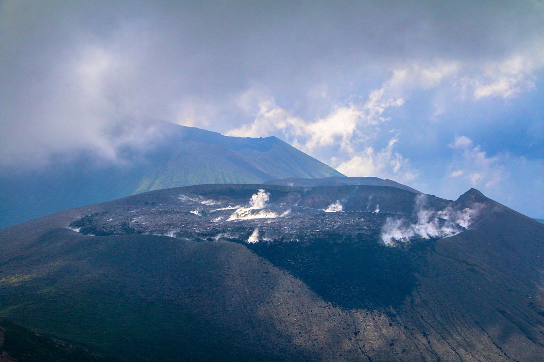
While I could have stared at the view of the Kirishima mountain range all day, just turning slightly west, the sight of a giant blue lake filling up the mountain-sized cone of the Onami Crater was also hard to miss.
As one of Kirishima's older volcanoes, the dense green forest around the lake was particularly striking, especially in comparison to the stark black slopes of Shinmoe-dake.
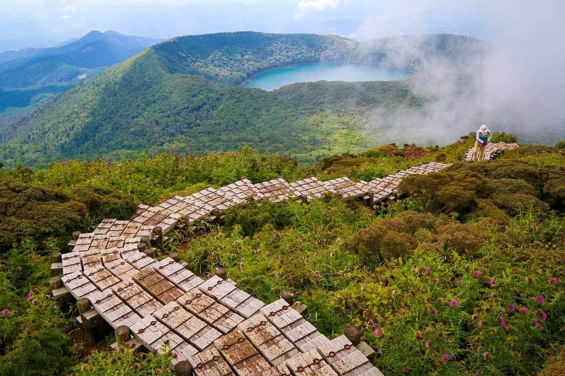
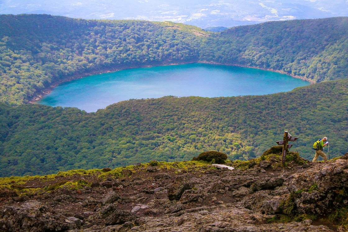
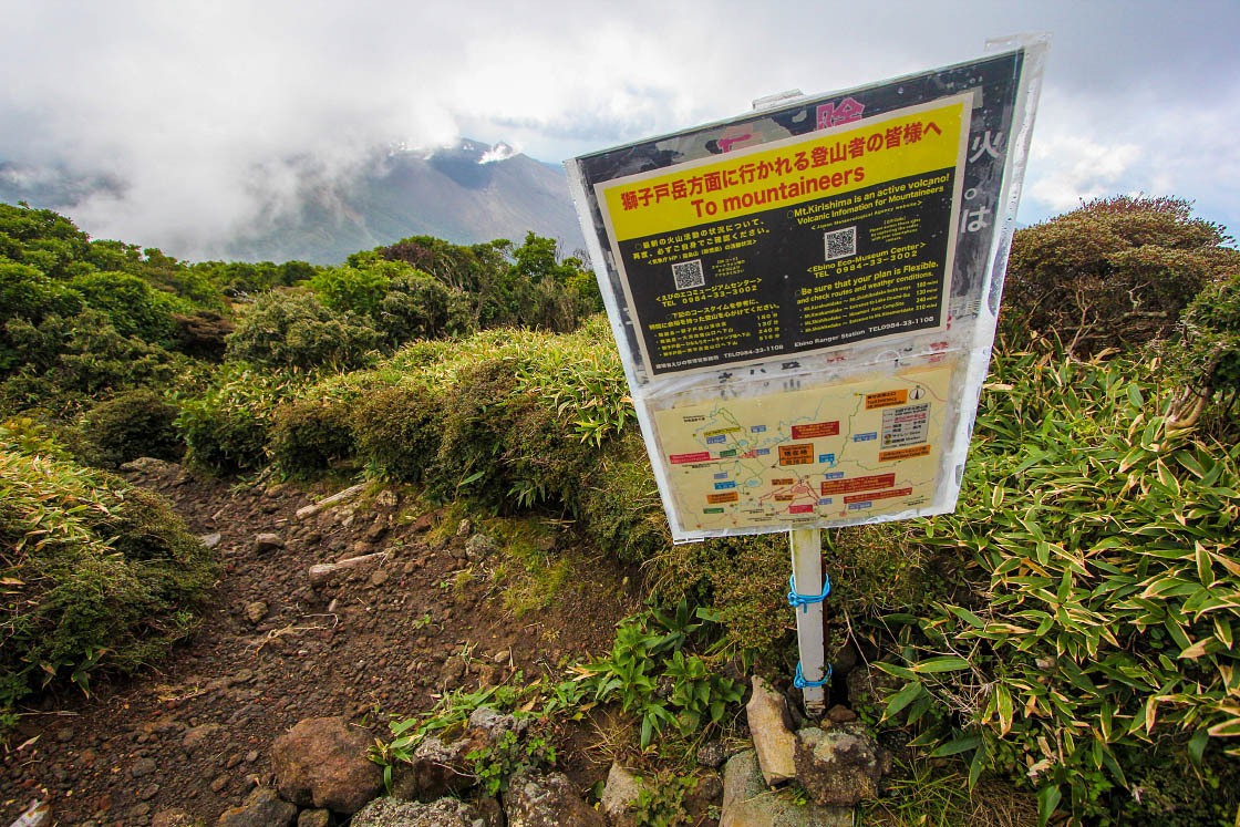
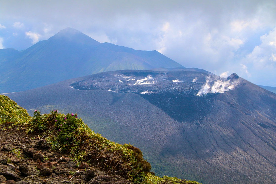
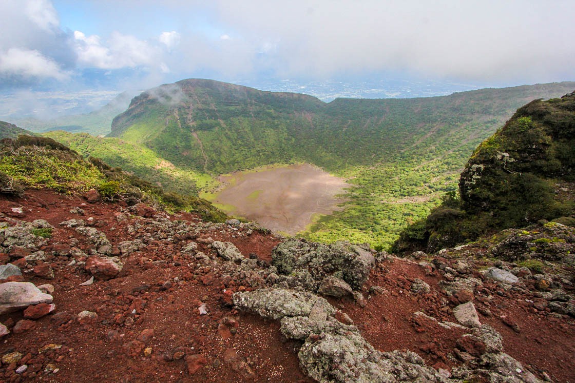
Though there are trails that connect the peak of Karakuni-dake to the crater rim of Shinmoe-dake and beyond to distant Takachiho no Mine, because of the no-entry zone around Shinmoe, the Kirishima Traverse Trail was not open when I visited. So, to reach my next goal peak for the day, Mt. Takachiho, I needed to descend and hop back in my car.
Before leaving the area, though, I made a brief stop at the Ebino Eco Museum Center. The modern information center is a good place to check on hiking trail conditions and learn about the mountains and their ecology.
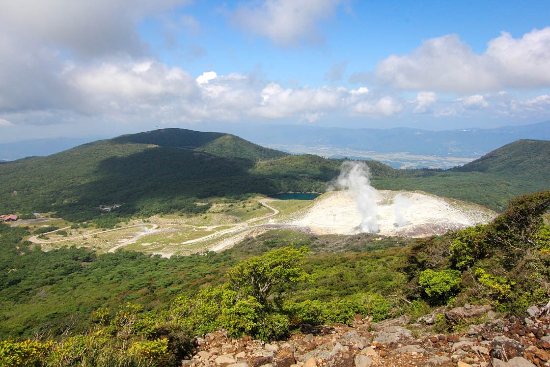
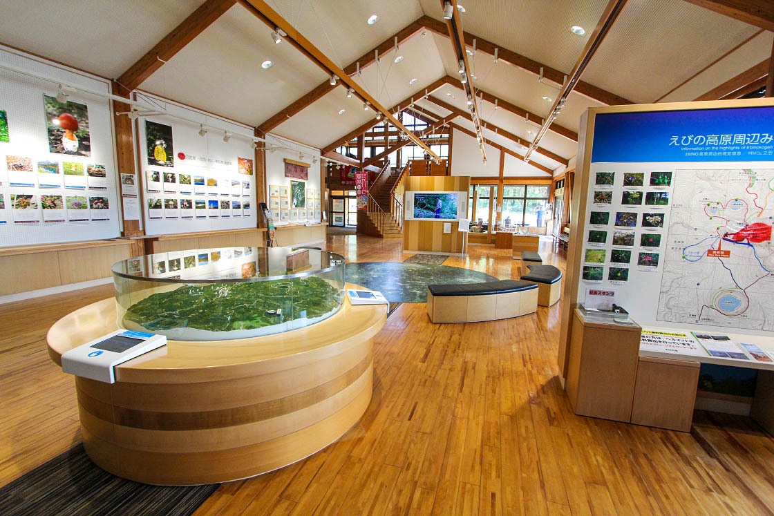
After spending about three hours on Karakuni-dake, I was back at my car and quickly on the road across the park. By car, it's an easy 20-minute drive from Ebino Kogen to the trailhead of Mt. Takachiho.
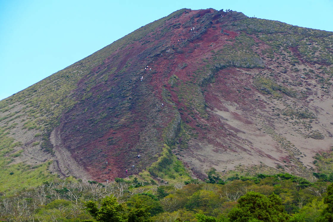
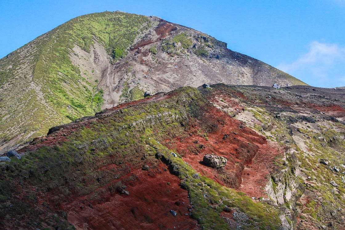
Mt. Takachiho, on the eastern end of the Kirishima range, was particularly exciting for me to see towering above me. I was actually standing in the shadow of the peak where Ninigi no Mikoto legendarily descended to earth.
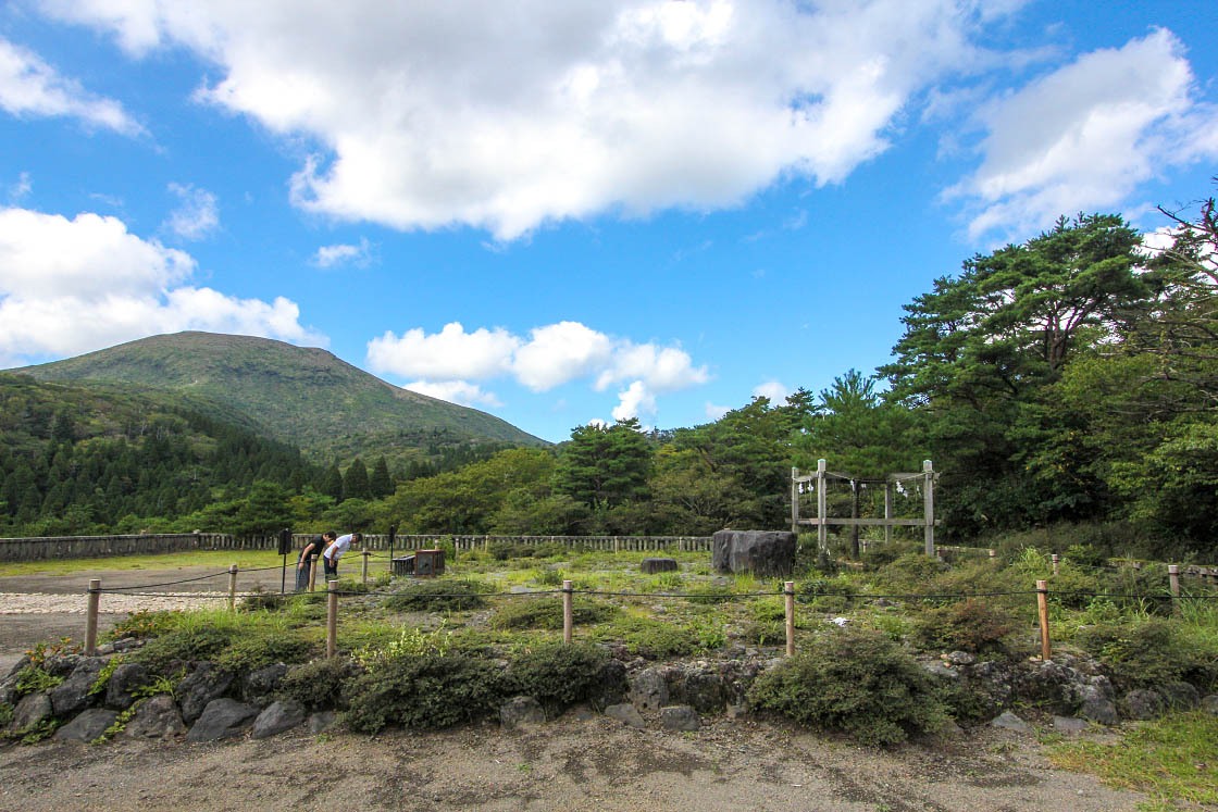
I wasted no time and hit the trail, first passing the former site of one of Kyushu's most important shrines: Kirishima Jingu. It sat here at the foot of the volcanoes until it was destroyed in an eruption in 1234. The shrine was rebuilt in a further, safer location hundreds of years later (and was on my list for the next day).
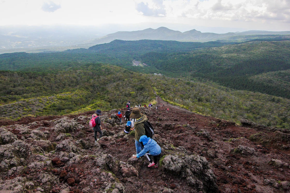
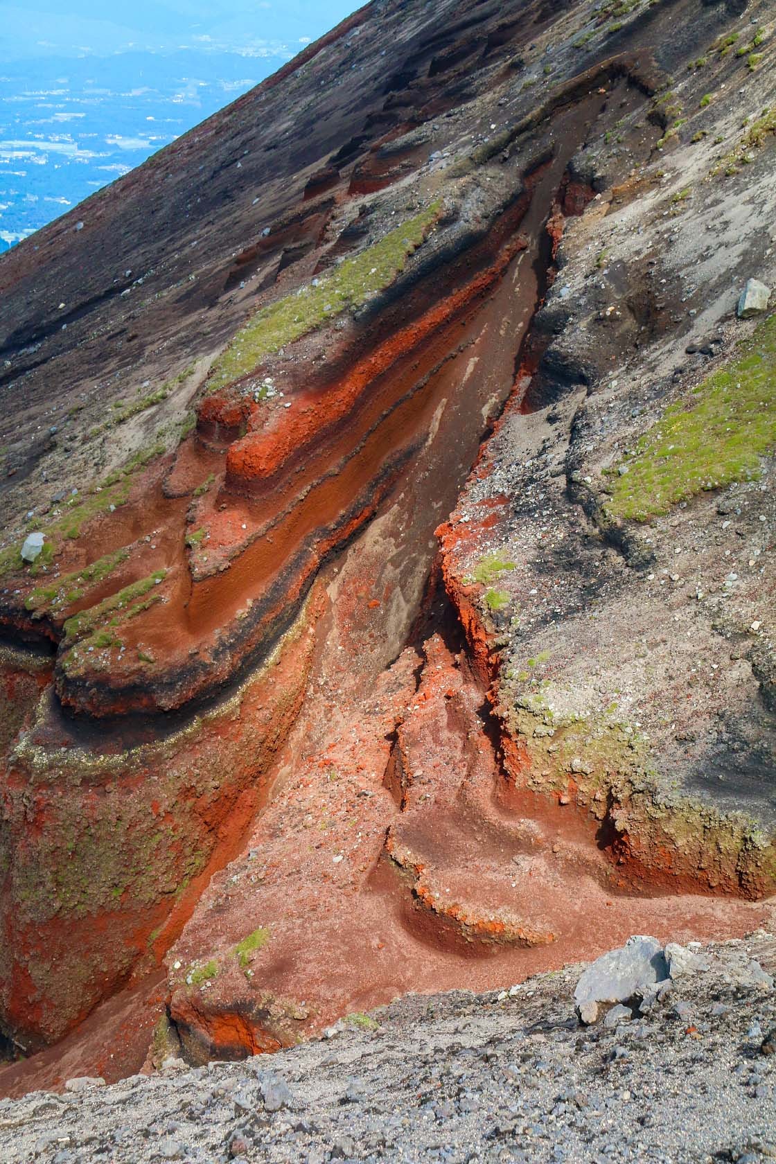
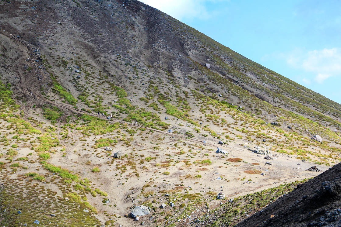
After passing the shrine, climbing the steep slope on loose volcanic rock was not easy, but the views as I climbed were amazing. And after about an hour of climbing, with all of southern Kyushu spread out below me, I was face to face with the mythical spear itself.
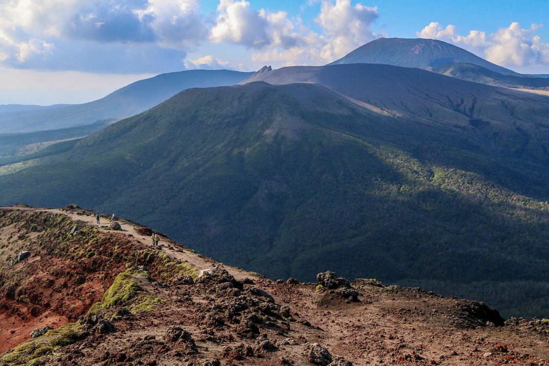
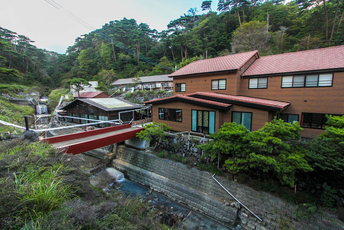
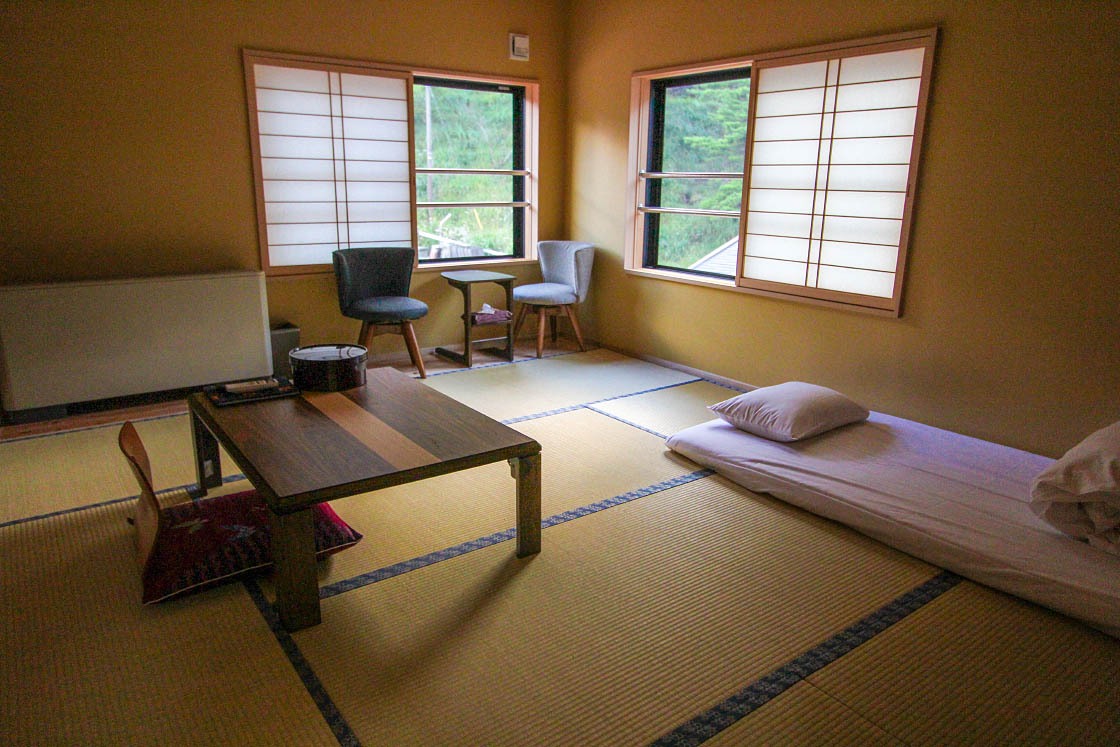
After my long day of climbing, I was beat and ready to relax. Thankfully, it was just a short 10-minute drive to my lodging for the night: Shinmoe-so, a ryokan at Shinyu Onsen. The unique onsen ryokan was tucked away by itself in a valley at the foot of the volcanic Mt. Shinmoe-dake. Its sulfuric source spring water was a strikingly bright milky bluish color that was heated by the very same magma that powered the hulking volcano above.
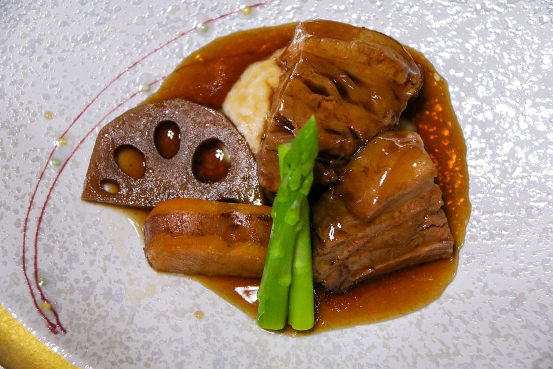
After a few long baths and a lovely meal of locally sourced food, I slept well, ready for my next day of exploring.
Day 2: Kirishima Onsen and Sakurajima
For my second day exploring the national park, I decided to go easy on the hiking and simply explore as much as I could by car. My first stop: Maruo Onsen.
When locals refer to "Kirishima Onsen," they often mean the various hot spring towns and single lone ryokan that pepper the slopes of the Kirishima Mountains. Maruo Onsen is a town that is home to the densest collection of ryokan and hotels in the area and a good place to see how the geothermal bounty of Kirishima is utilized.
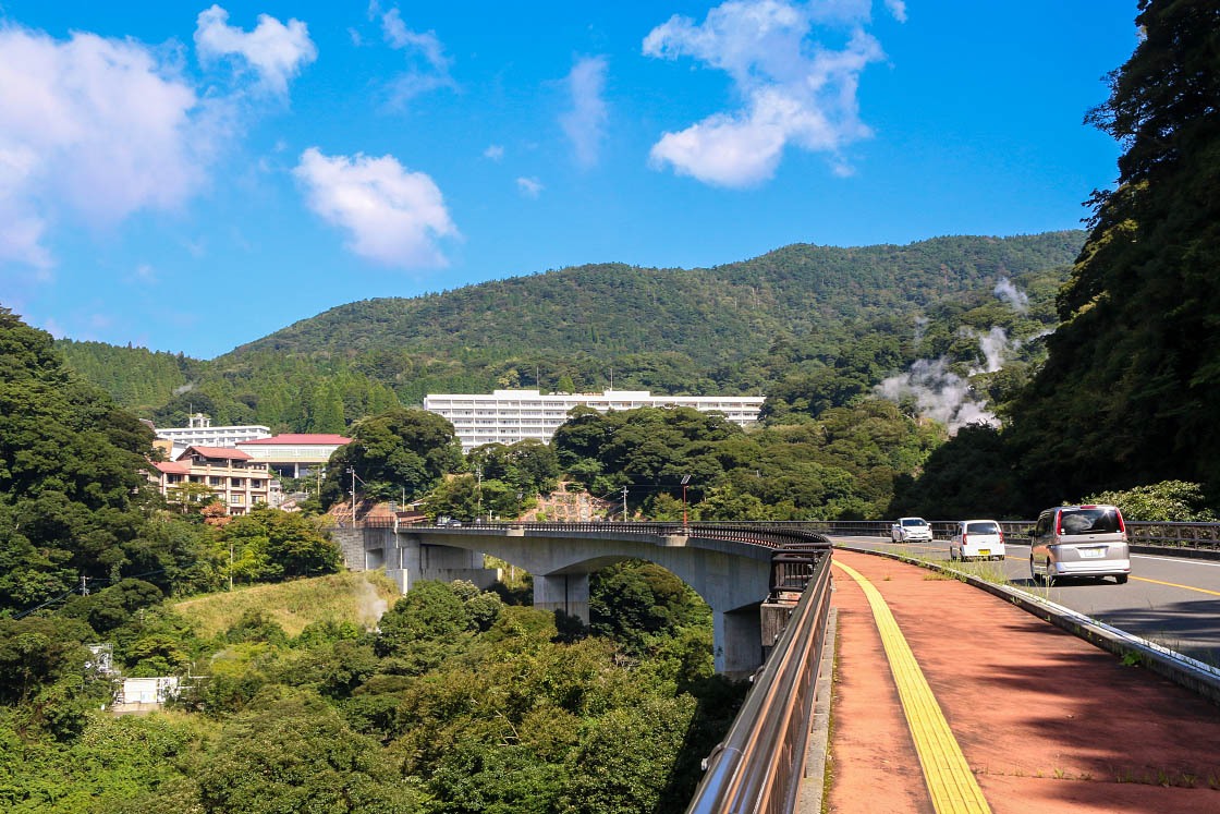
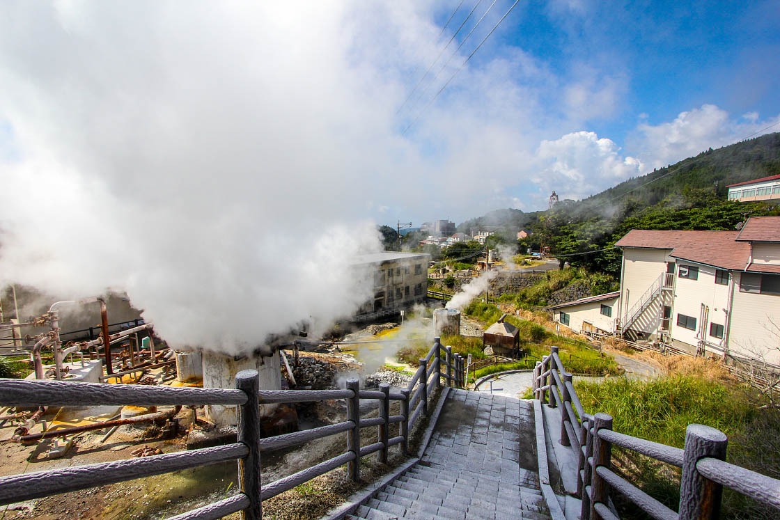
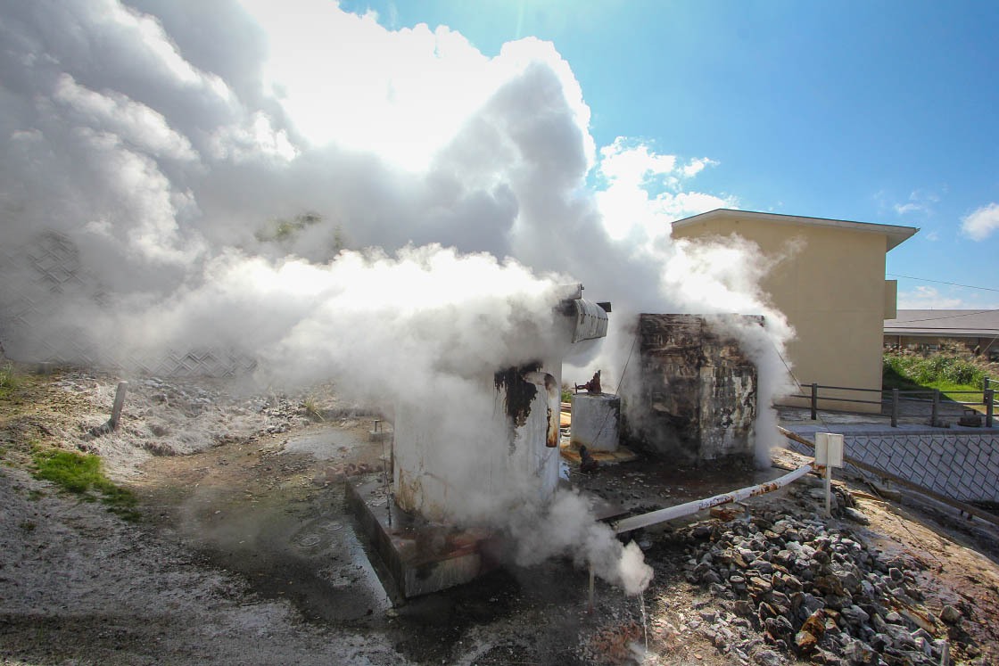
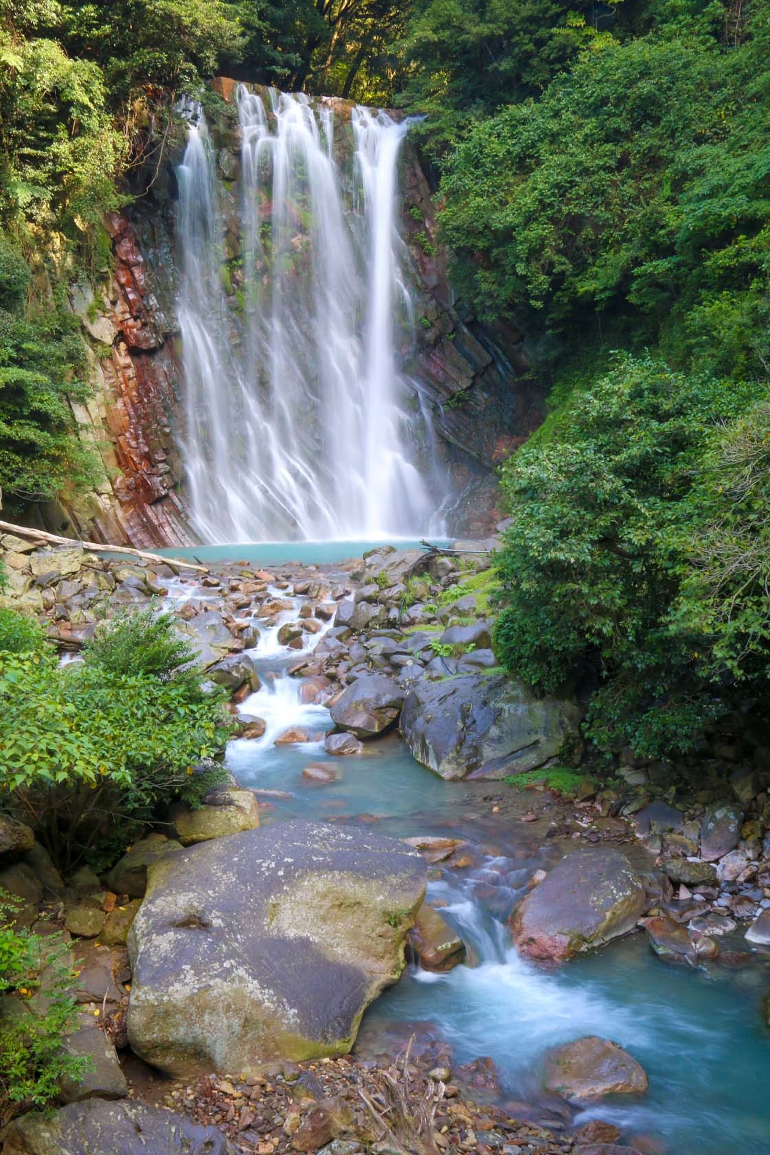
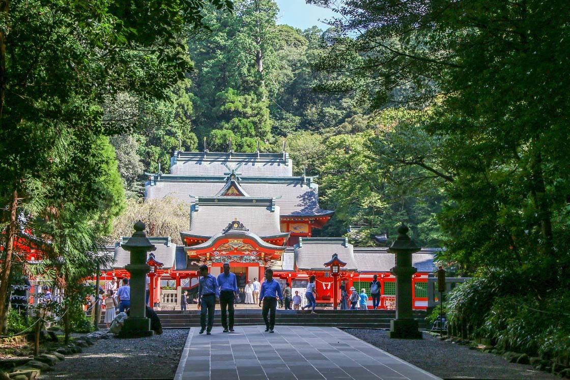
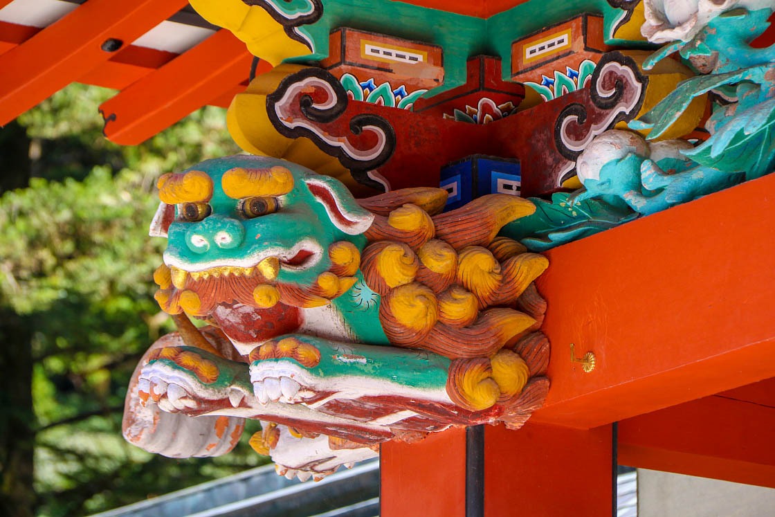
From Maruo Onsen I moved on to Kirishima Jingu Shrine, again a short car ride away. After being destroyed twice over 1000 years, the shrine was finally reconstructed location in 1484 (its most current buildings dating to 1715).
The shrine is dedicated to the deity Ninigi no Mikoto, the very same god of legend who descended onto Takachiho no Mine. It is said when he descended, he brought with him the three sacred regalia of the Imperial Family of Japan, a sacred mirror, sword and jewel, which are still symbolically passed from emperor to emperor (including during the recent ascension of the new emperor on May 1, 2019).
I enjoyed walking around the peaceful shrine grounds contemplating the longevity of this enduring story.
For the final leg of my trip, I wanted to visit an entirely different park of the Kirishima-Kinkowan National Park. While Kirishima Mountains take up the largest portion of the park's area, several non-adjacent spots are also included in the park's reach, including the beautiful coastline along the southern portion of Kagoshima Prefecture and my next destination, Mt. Sakurajima.
Sakurajima is a massive volcano that sits nearly in the middle of the northern part of Kagoshima Bay. As one of the most active volcanoes in the world, it jets plumes of smoke every single day, not infrequently spewing large clouds of ash that can lightly coat the surrounding towns and cities (including Kagoshima City itself, a city of over 600,000 people).
To get as close as I could to the volcano, I drove south from Kirishima and around the east shore of Kagoshima Bay, taking in the lovely scenery (and sampling some local food) as I went.
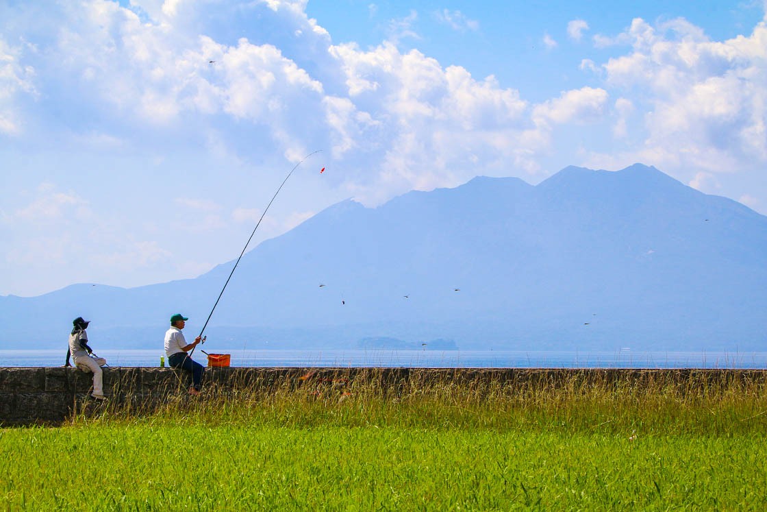
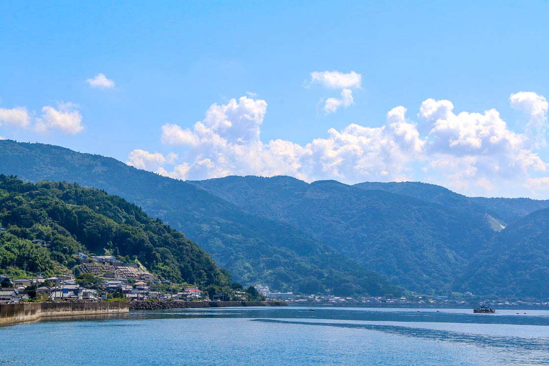
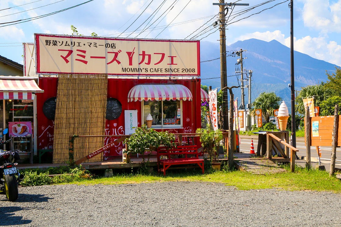

And in a short hour or two, I was crossing the land bridge that connects the Osumi Peninsula to the island of Sakurajima. Before a massive eruption in 1914 that forced the mass evacuation of hundreds of island residents, Sakurajima was indeed an island only accessible by boat. After the eruption, enough lava was ejected from the volcano to bridge the gap, connecting it forever with the mainland.
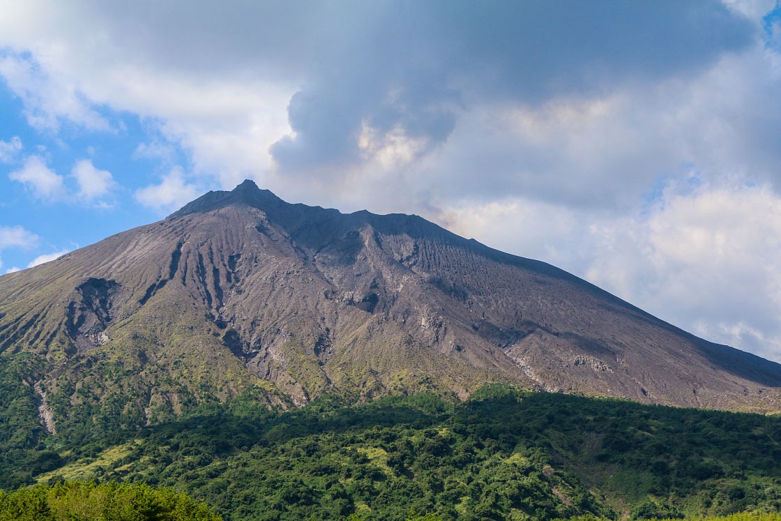
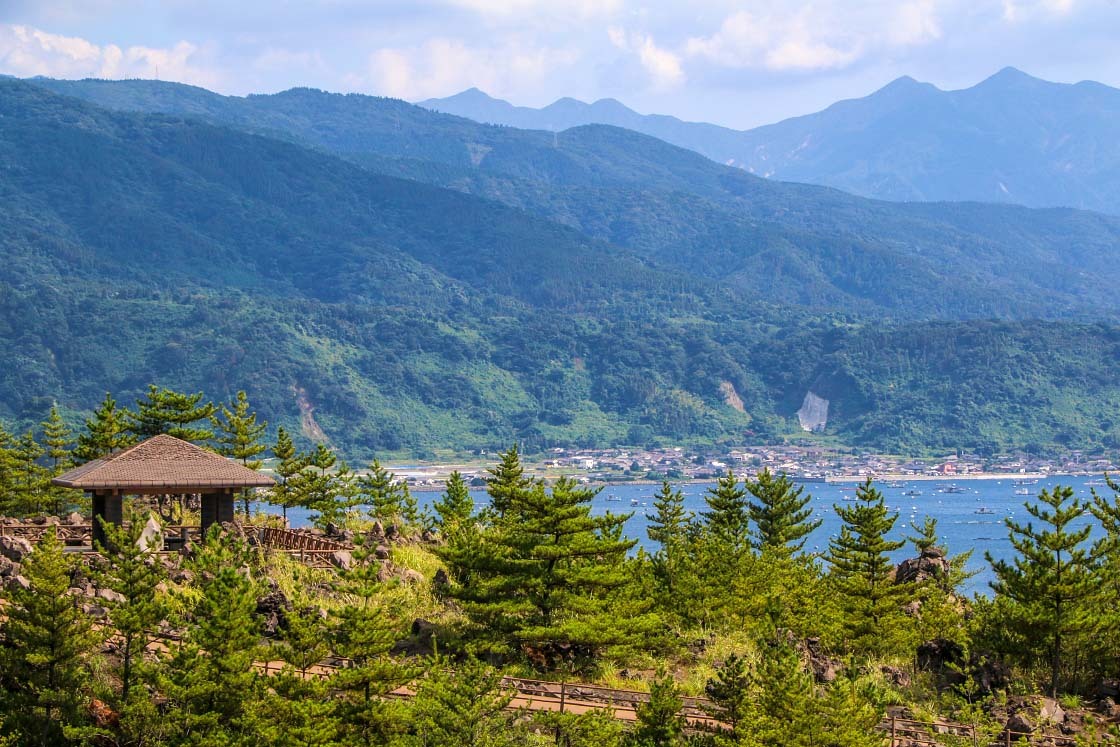
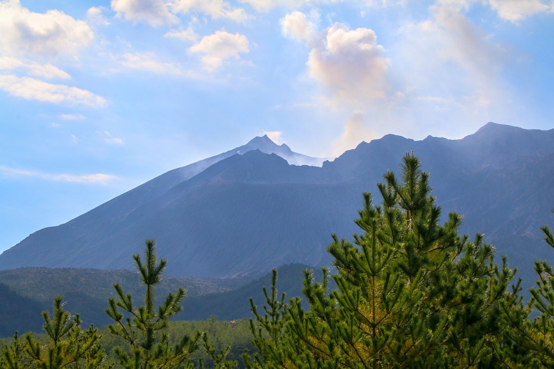
For me, the best close-up view of this iconic volcano was at the Arimura Lava Observatory. Located on the east side of the island, it's only accessible by car or bus, but offers an impressive view of the smoking crater and the young forests slowly regrowing on the slopes of the mountain.
It was a fitting place to end my two days exploring this incredibly unique volcanic wonderland.
Discover more
- Learn more about Kirishima-Kinkowan National Park →
- Learn more about the National Parks of Japan →
- Learn more about the Miyazaki Prefecture →
- Learn more about the Kagoshima Prefecture →
