Hiking at Mount Azuma
by Sean, staff writer of japan-guide.com
| previous post |
| next post |
2012/06/27 - Hiking at Mount Azuma
We planned for this one. We waited till the weather would be undoubtedly good; when the skies would likely be clear. Today was the day.
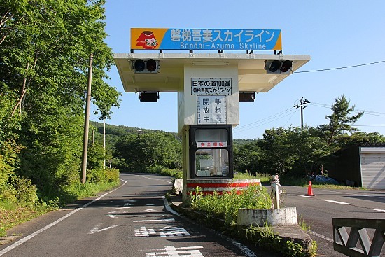
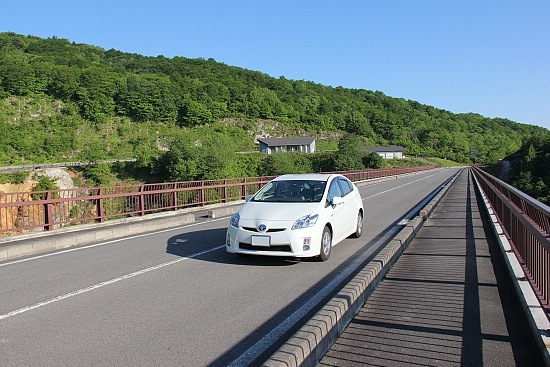
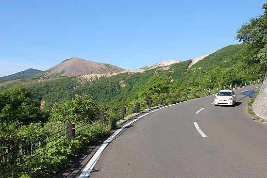
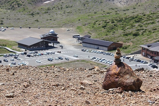
At 3:30 in the morning we hit the roads, setting off for Mount Azuma in Fukushima to do some hiking. It was as forecasted a beautiful day. Our target was to conquer three peaks of the mountain: Issaikyo (1949 meters), Higashi Azuma (1975 meters) and Azuma Kofuji (1707 meters). By 7:00 we were at the Bandai Azuma Skyline, a scenic road which leads to the starting point of the hiking trails at Mount Azuma.
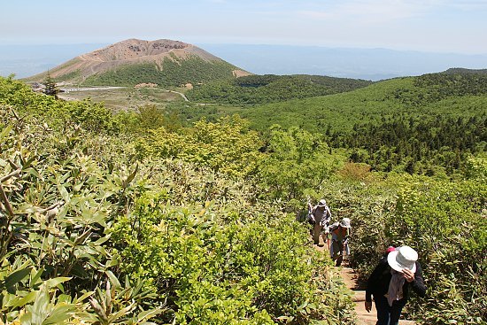
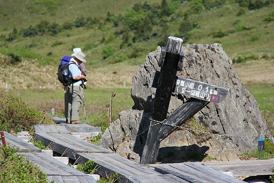
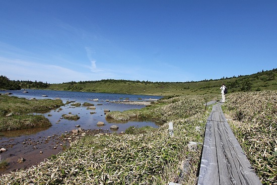
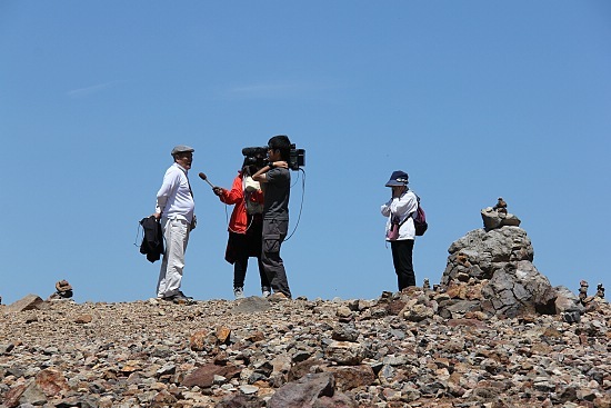
A few cars were already at the parking lots when we arrived. At 7:15 we started our hike up to the Issaikyo peak, with the company of fresh air, light breeze, nice morning sunshine and lovely tweeting birds. Occasionally we crossed paths with fellow hikers, and exchanged greetings with them. A simple "ohayo gozaimasu! (good morning)" always invokes nice feelings and makes the hike more enjoyable for both parties.
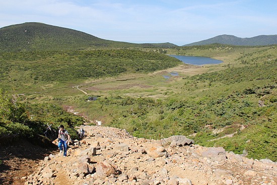
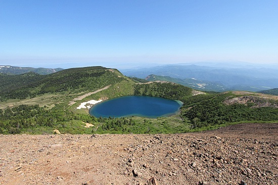
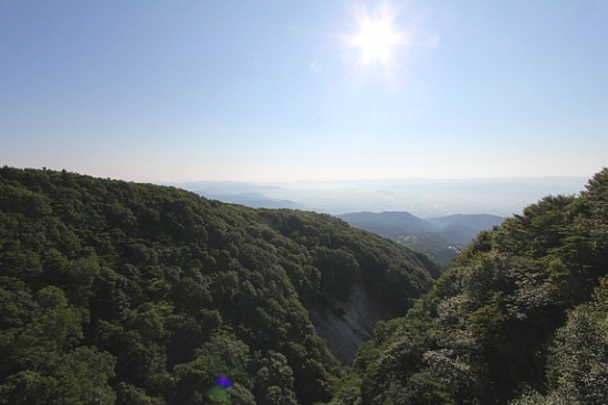
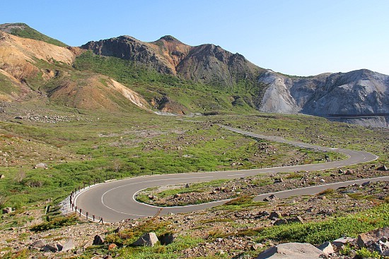
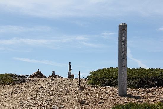
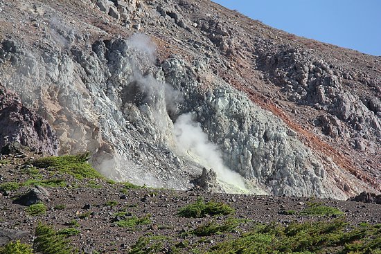
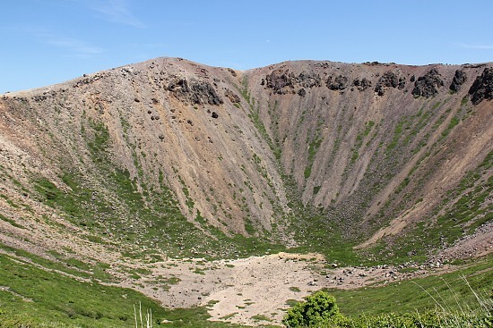
The hike up Issaikyo was great, but the view at its peak was even more amazing. At 9:15 we reached the summit, and we could see clearly the crater of Azuma Kofuji - breathtaking. To the north was Goshikinuma Lake, and its deep blue color made for a very nice complement to the greenery and the bright blue of the sky. We sat down on some rocks and there we had our breakfast, with the gorgeous scenery lying right before our eyes. After the rest, we continued towards our second goal: the peak of Higashi Azuma.
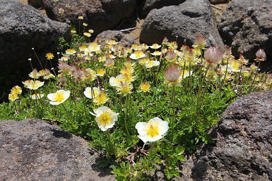
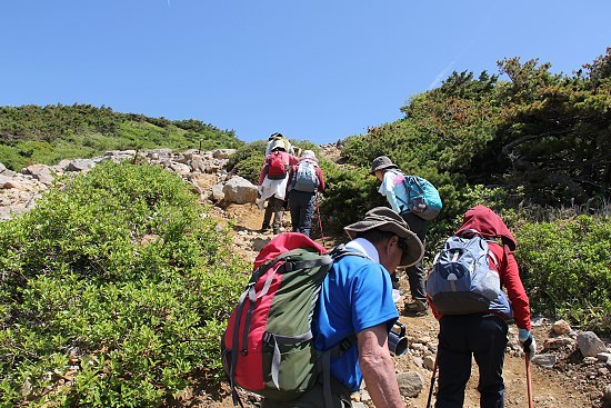
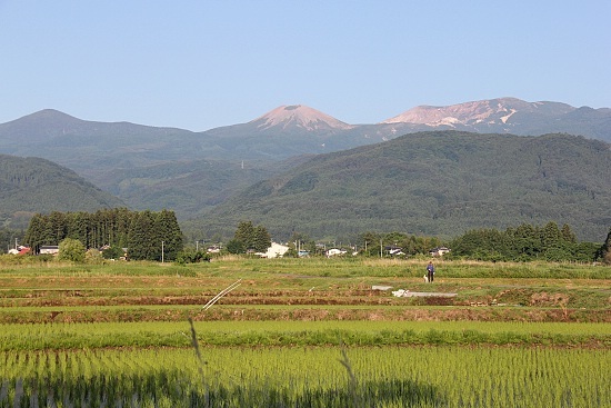
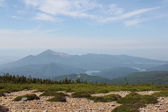
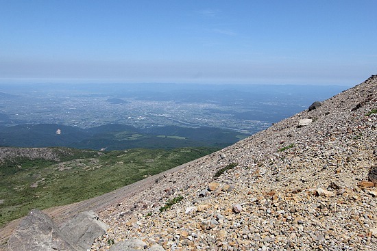
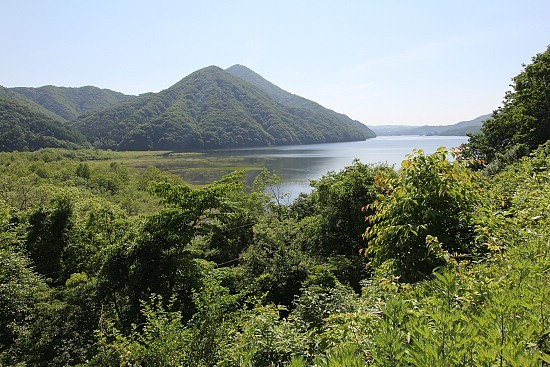
The hike up Higashi Azuma was considerably more difficult due to slippery surfaces, steep elevations and some muddy sections along the trail. The narrow path also made it more difficult to traverse. The dense greenery obstructed views of the scenery below the mountain as well. However, for us and several others who made the effort to make it to the top, we were rewarded with good views of Mount Bandai and the Urabandai Highlands.
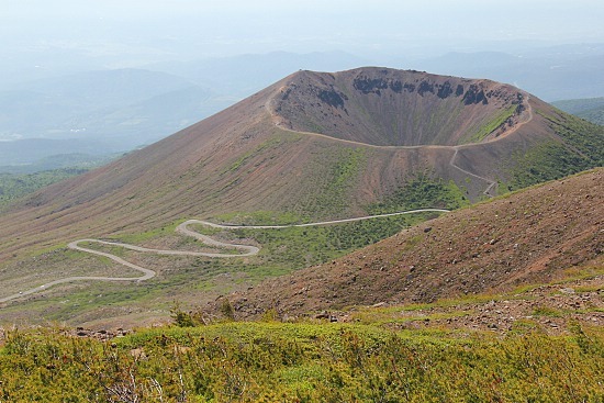
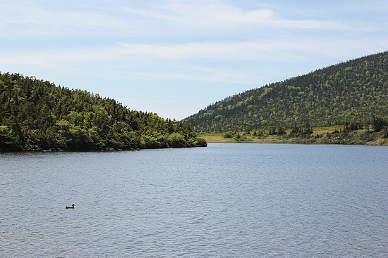
As we were decending Higashi Azuma we came across a group of twenty-odd old men and women making their way up. It was also the same time whereby perfect views of the Azuma Kofuji crater and Okenuma Lake to its right could be seen. I declared to Schauwecker: "Look! It's bucket numa!" It was meant as a joke, because "oke " means "bucket" or "pail" in English. The old men and women were bewildered when they overheard me and asked me if it was really called "Obakenuma (Ghost Lake)", and I had to hurriedly correct myself.
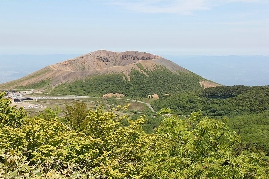
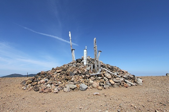
After conquering two peaks, we were finally left with our final goal of the day. The ascent of Azuma Kofuji was the easiest of the three, because the trail was nicely fitted with wooden stairs. It was almost 13:00, and by this time a healthy crowd was seen climbing up and down the steps. At the top, we circled around the crater and the experience was awesome.
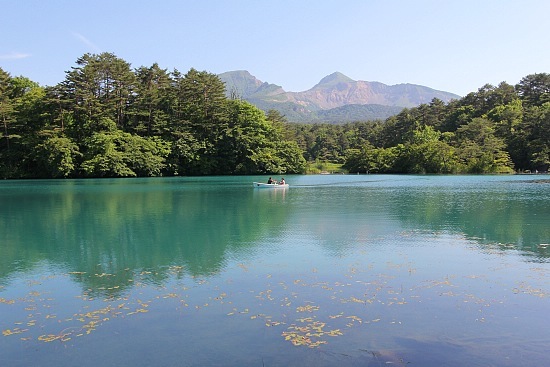
And so we met our targets by 14:00, and were ready to head back home, but not before stopping along the way at the Urabandai area to take some pictures.


| previous post |
| next post |