15 years after the tsunami

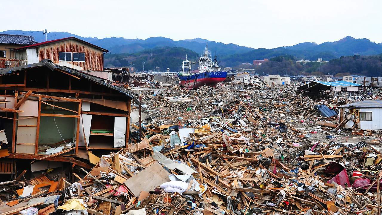
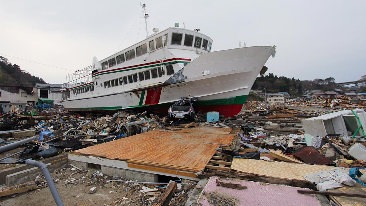
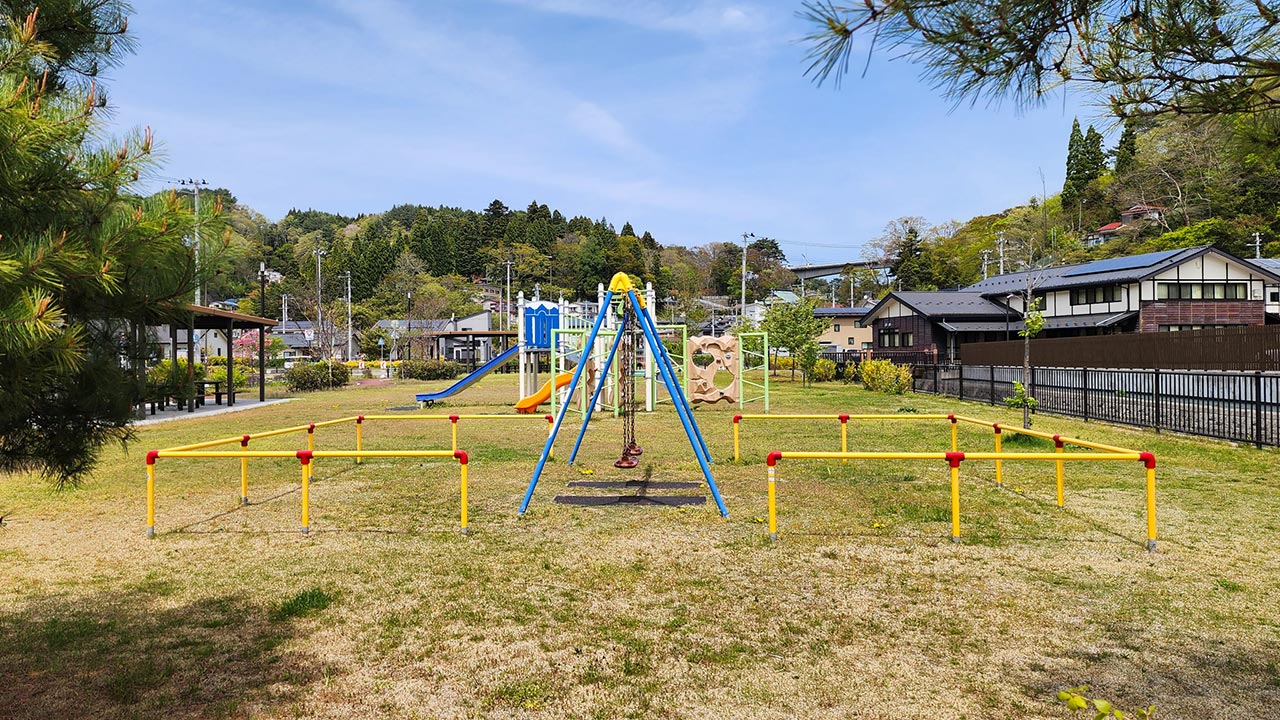
This is the 24th part of our open-ended series documenting the recovery of the tsunami-hit coast of northeastern Japan, where nearly 20,000 people lost their lives and entire towns were destroyed on March 11, 2011. Exactly 15 years after our first visit to the coast, we returned to some of the places we had photographed to see how they look today.
On that first visit, the scale of the destruction was overwhelming, and the task of rebuilding seemed almost impossible. Recovery has since unfolded in stages, requiring enormous effort and patience. The search for survivors and work to reopen roads were followed by temporary bridges and housing, while clearing and dealing with the vast quantities of rubble took well over a year. Restoring jobs and the infrastructure that supported them was another early priority.
Some of the most ambitious work took many more years: carving higher residential areas out of hillsides, raising former town centers by more than ten meters, reopening railway lines and extending the Sanriku Expressway. Gradually, new neighborhoods took shape, transport links were completed, and museums, preserved ruins and monuments opened to remember the disaster and pass on its lessons.
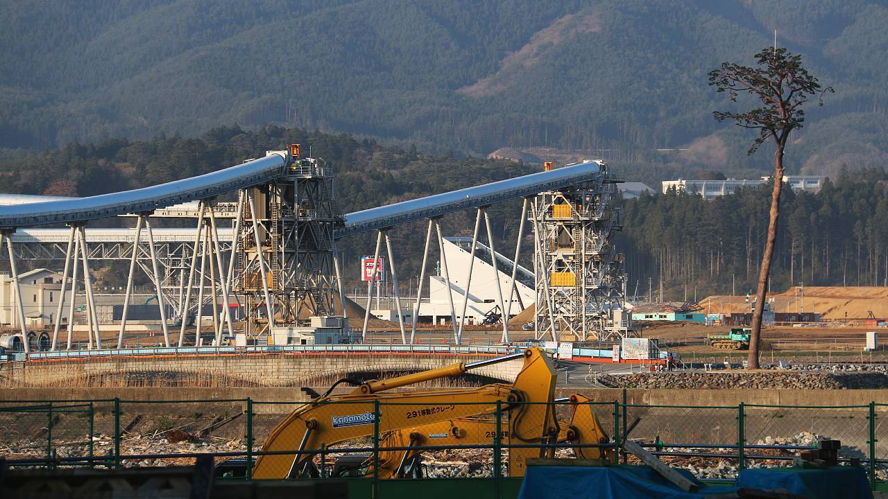
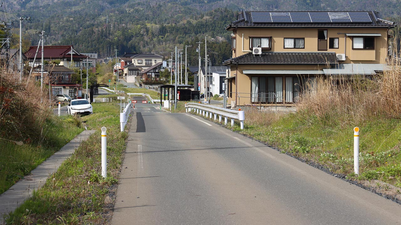
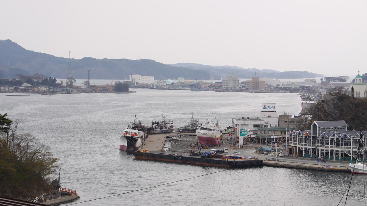
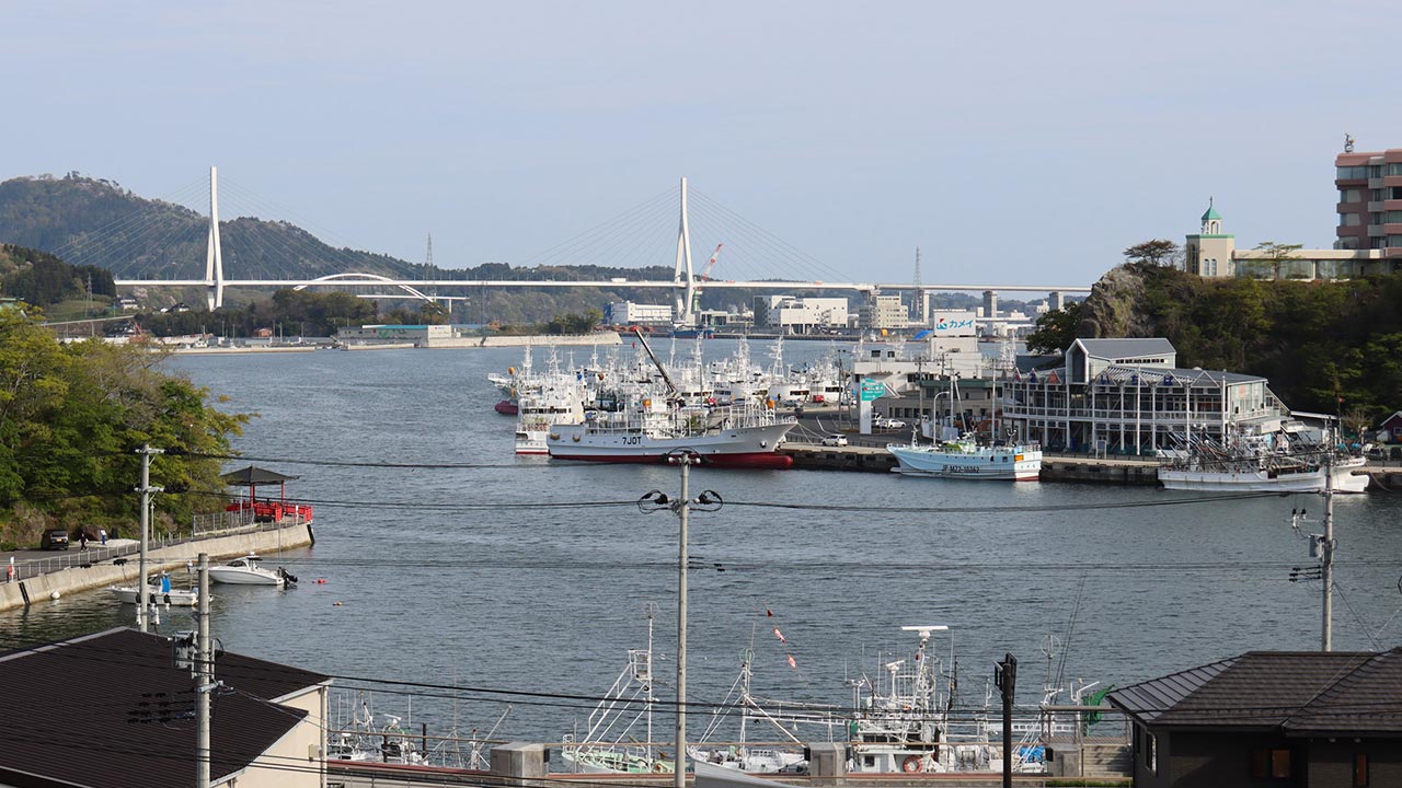
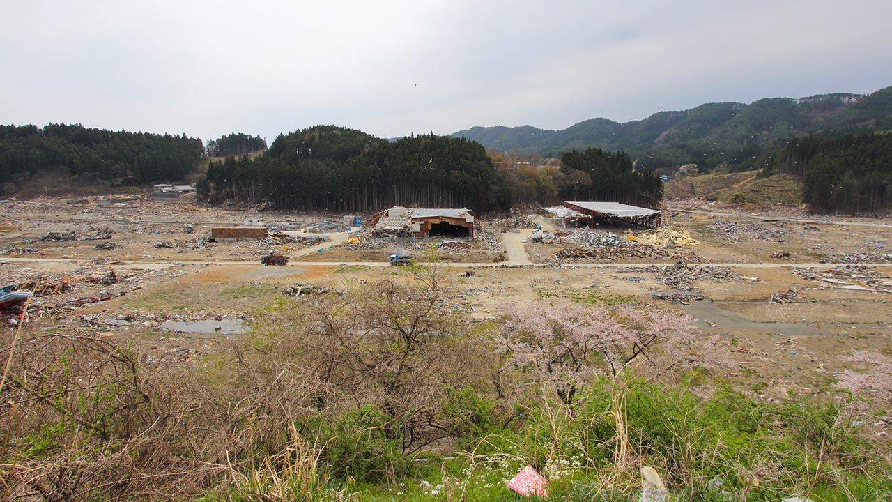
Today, the results of this long process are clearly visible. The 30 pairs of photographs below show the same locations in 2011 and 2026, revealing how much has changed over 15 years.
Ishinomaki City
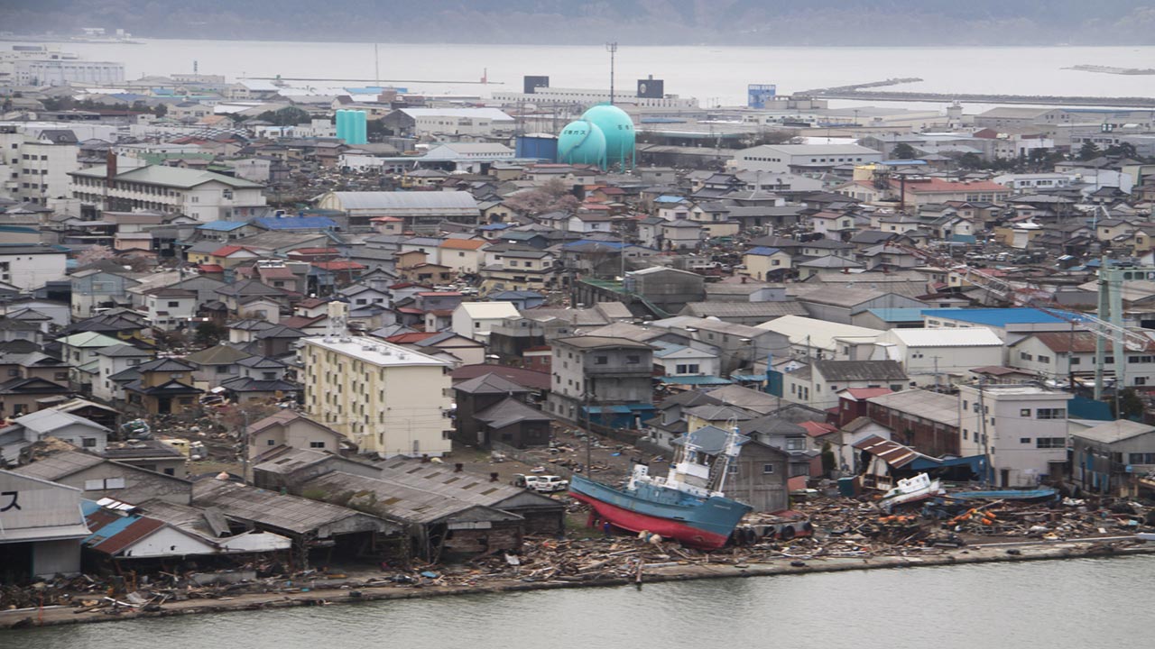
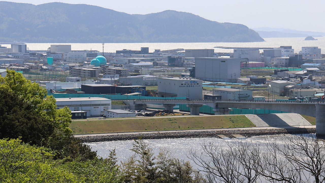
A view towards Ishinomaki's Minatonishi district in 2011 and 2026:
A view towards the Hiyori Bridge:
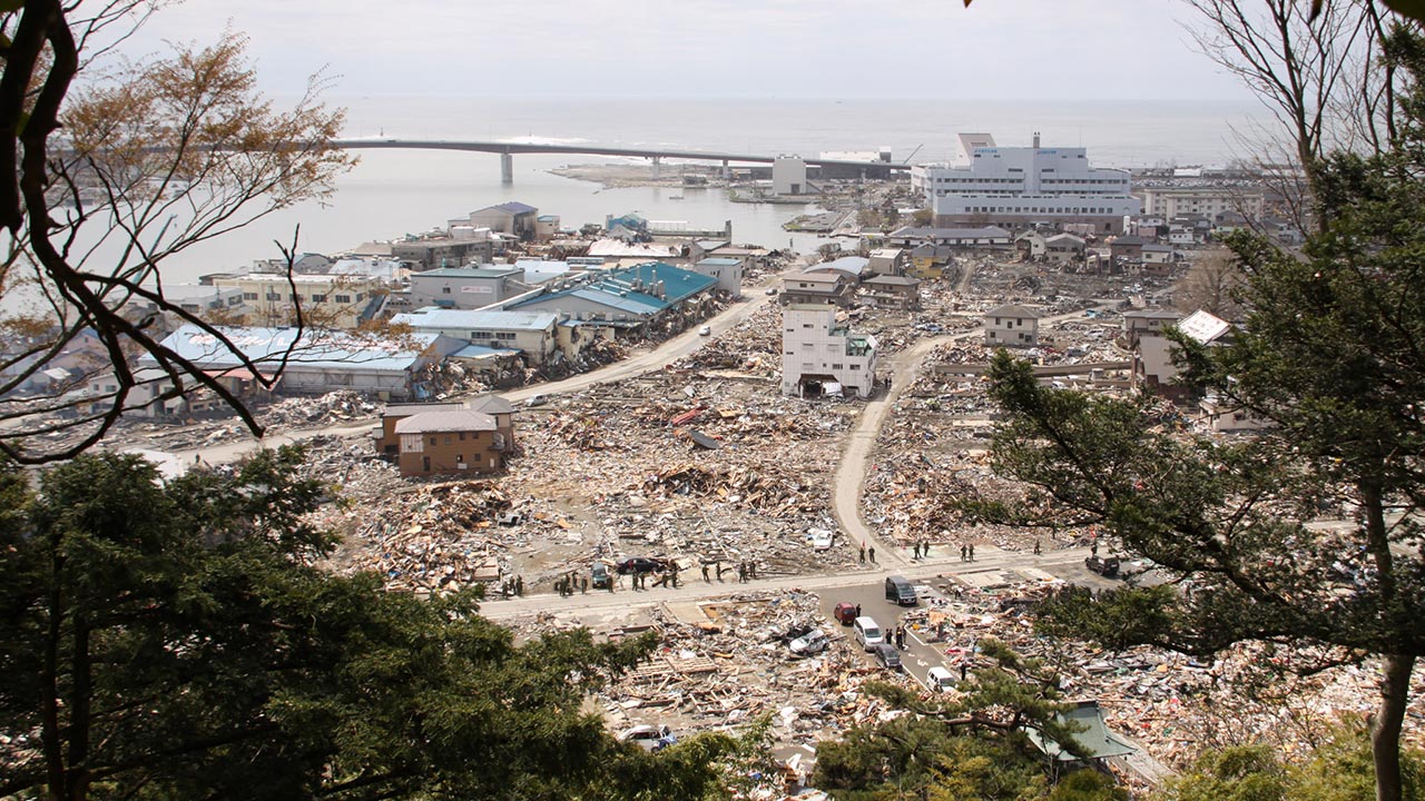
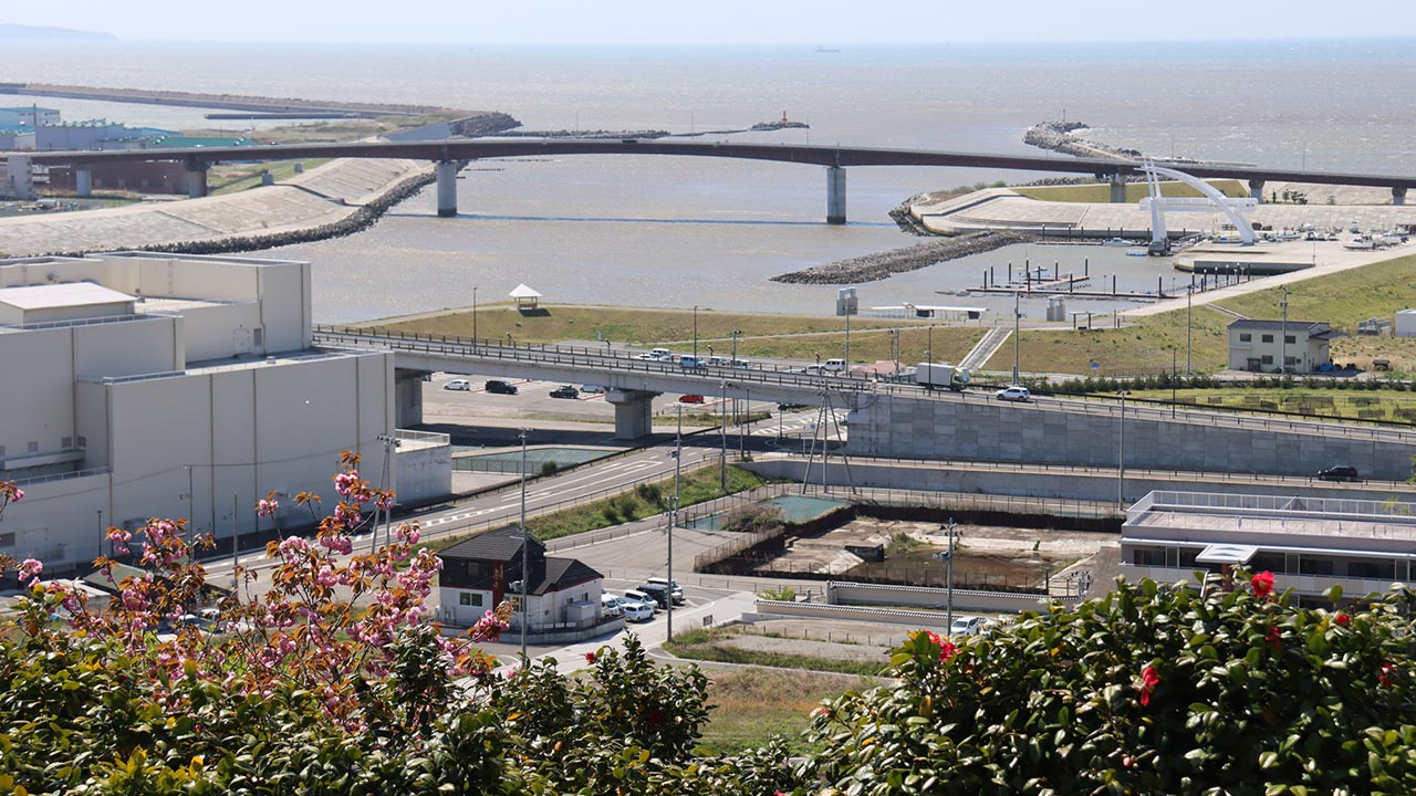
A view towards what is now the Tsunami Memorial Park:
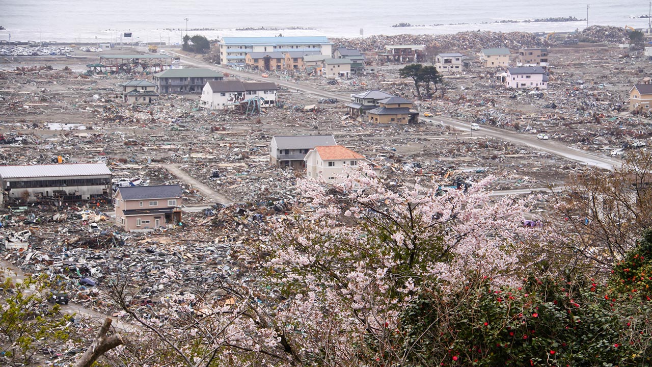
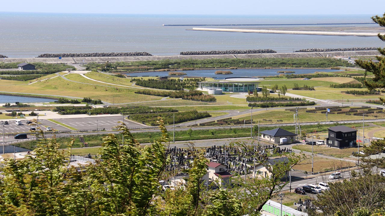
Ishinomaki's Hachimancho district in 2011 and 2026:
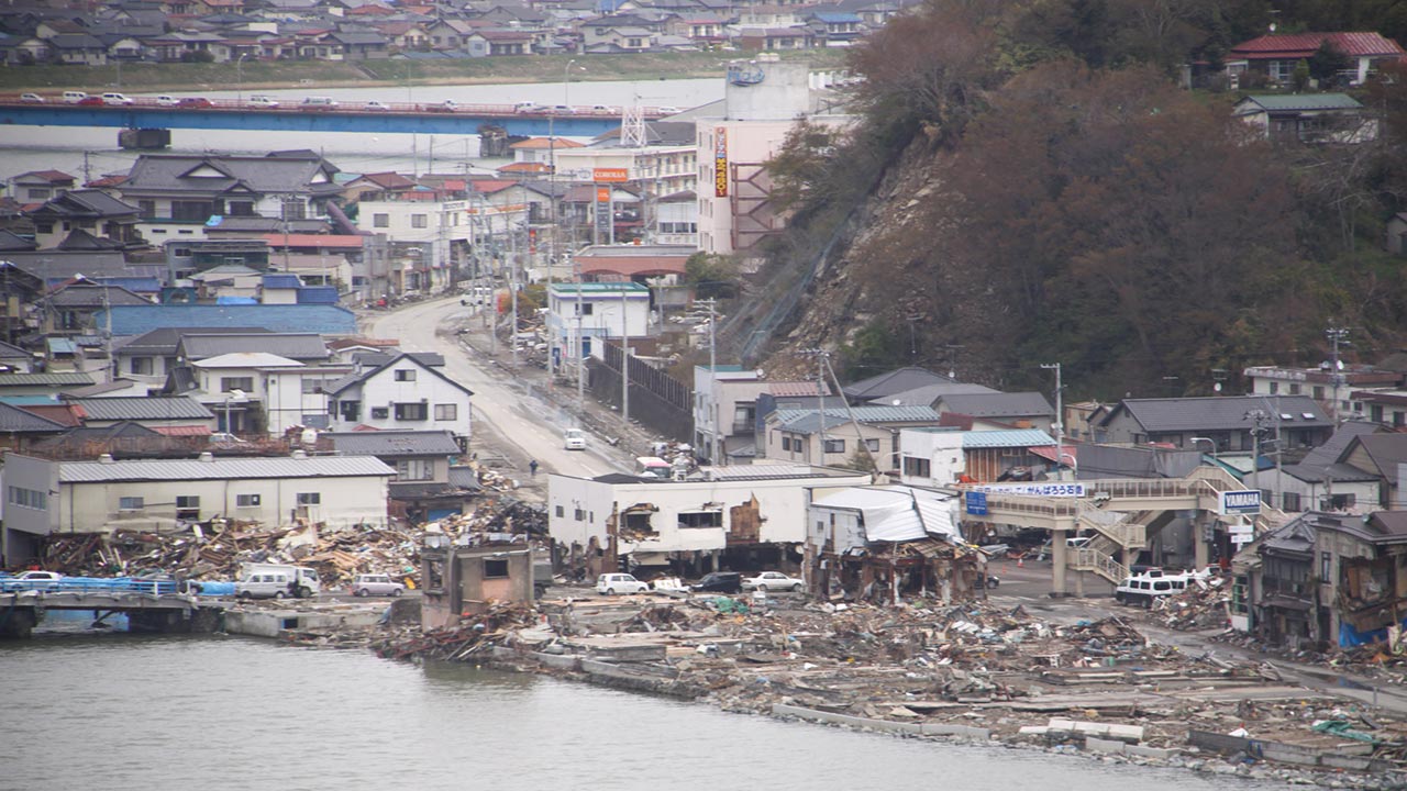
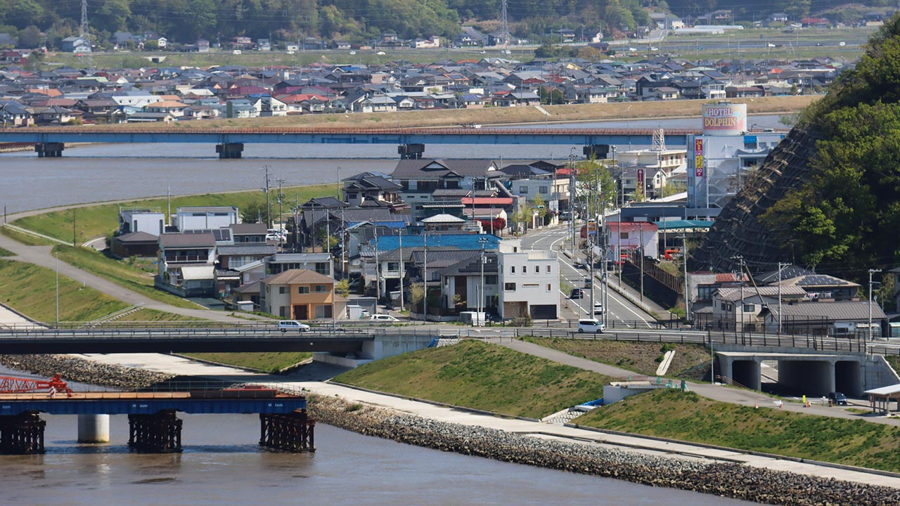
A view towards the city center, where the Ishinomaki Genki Market now stands by the river:
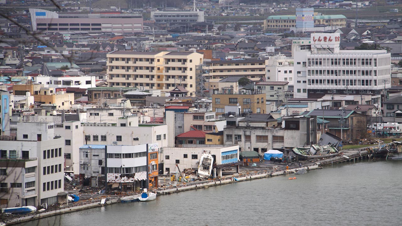
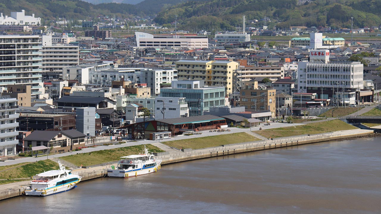
Ishinomaki's Hashi Street in 2011 and 2026:
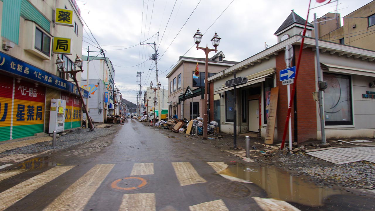
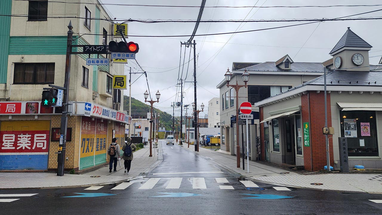
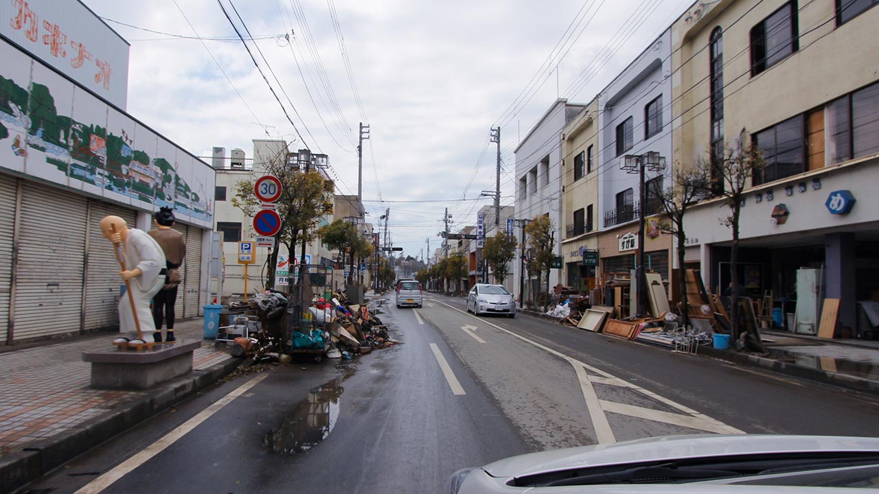
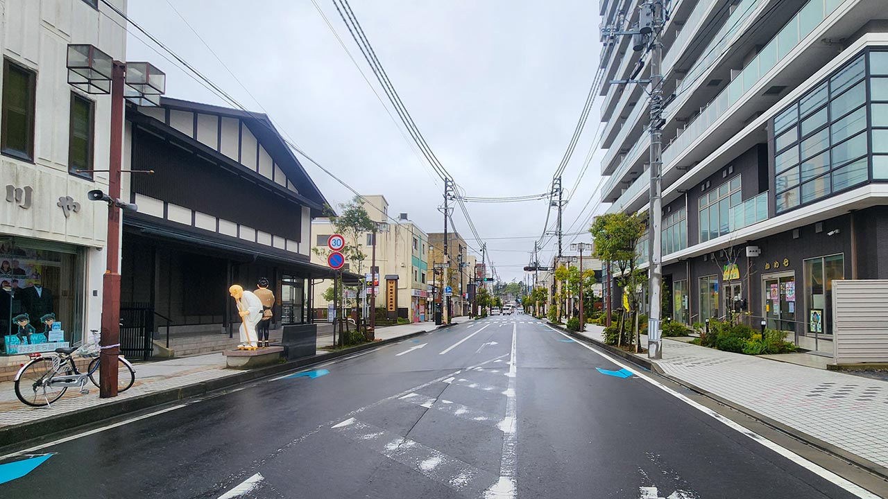
Another street in the city with statues of Ichi and Sabu from Ishinomori Shotaro's manga Sabu to Ichi Torimono Hikae:
Minamisanriku Town
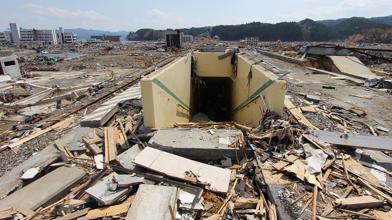
Minamisanriku's former Shizugawa Station:
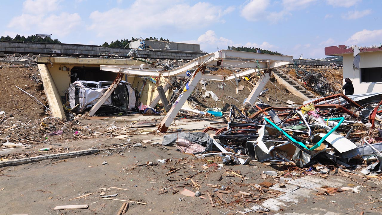
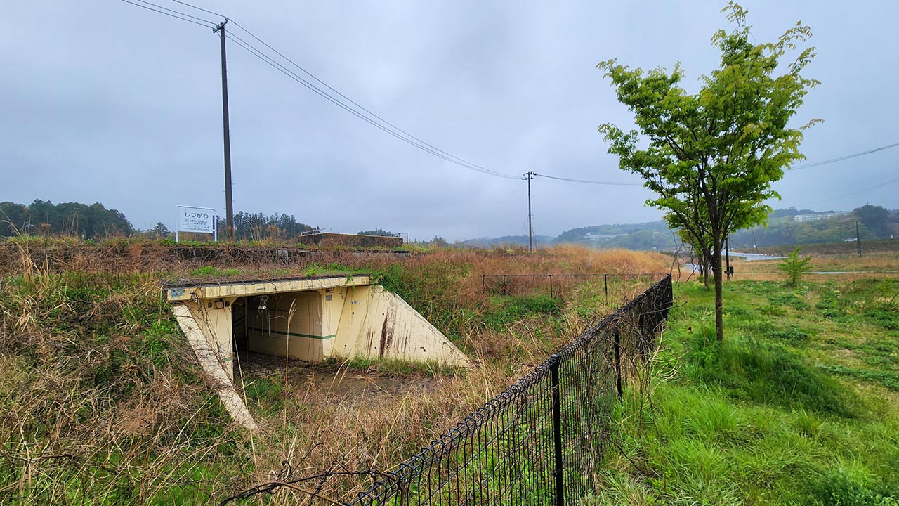
View from the station's platform towards the south:
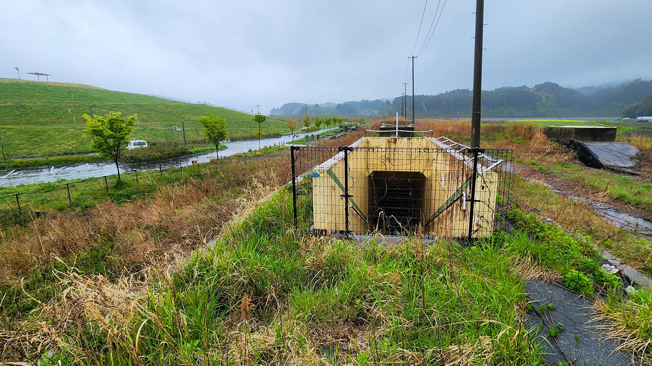
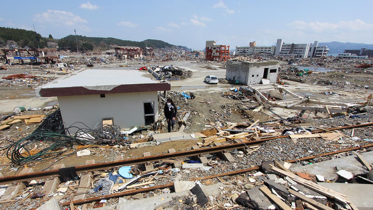
View from the station platform towards the former town center, now a memorial park:
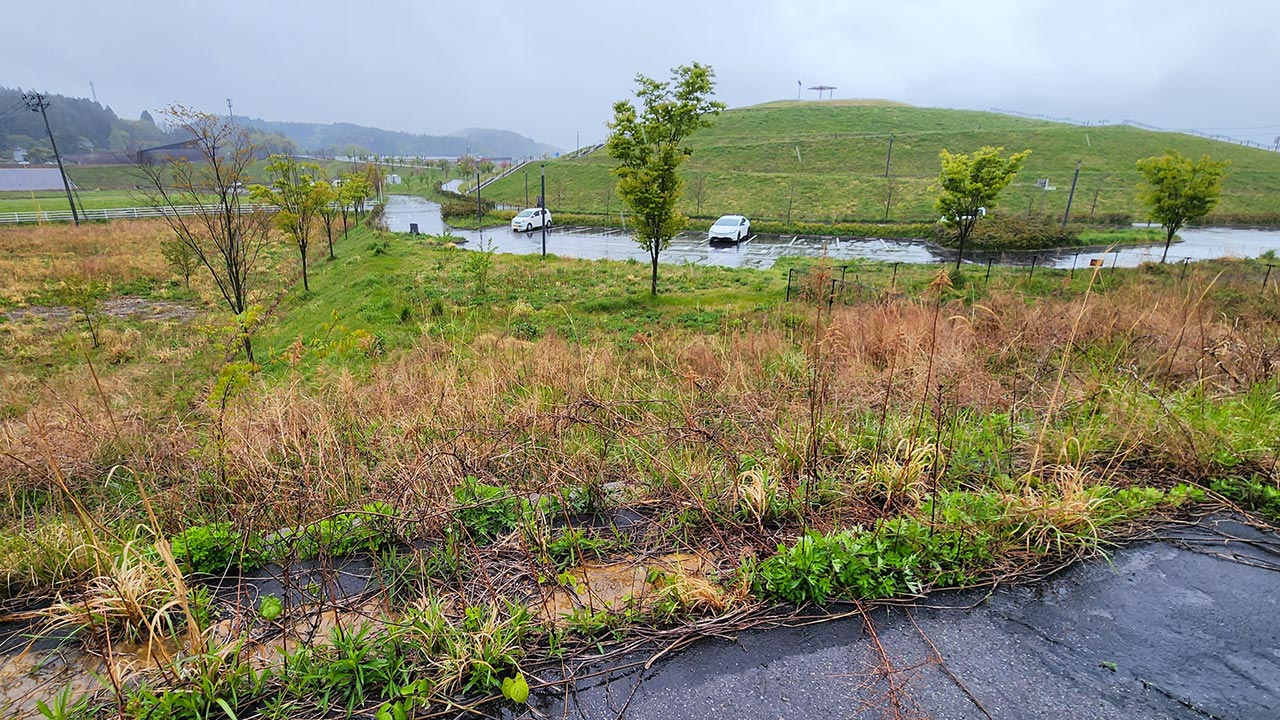
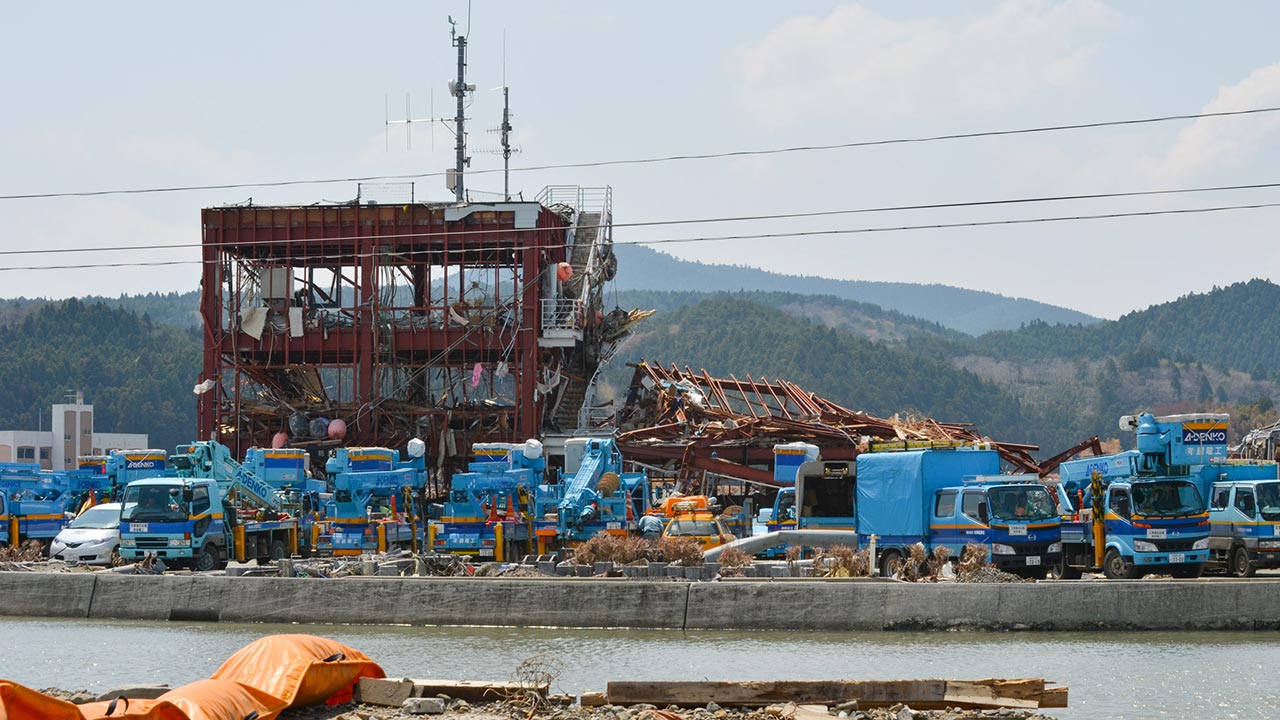
The former Minamisanriku Disaster Prevention Center, now the centerpiece of the town's memorial park:
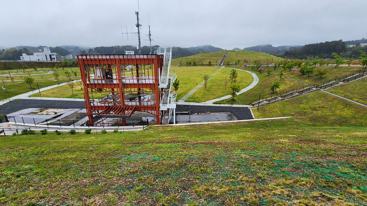
View from a hill that barely rises above the elevated city center in 2026:
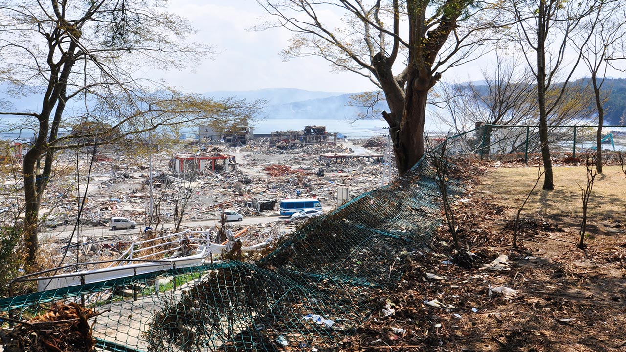
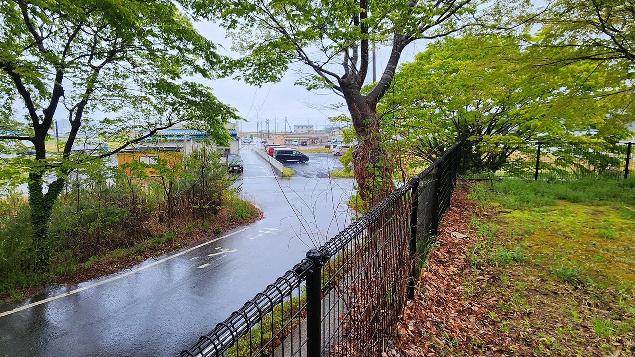
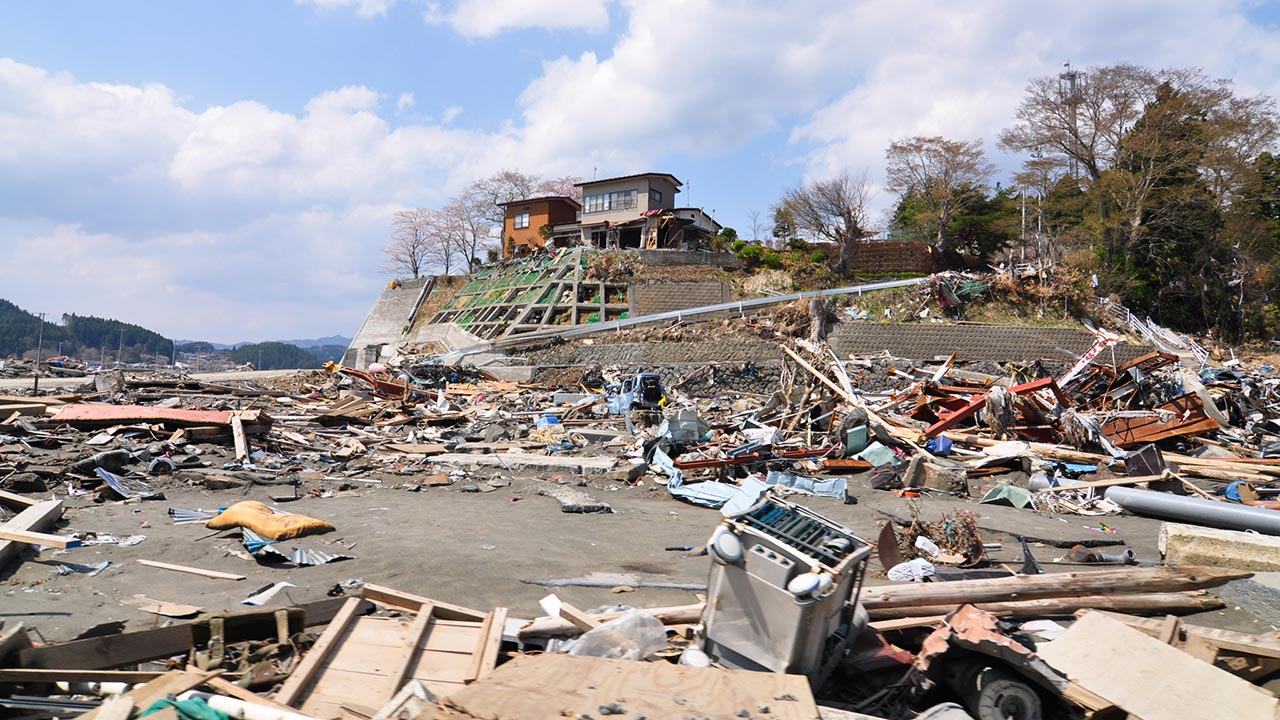
The same hill from a different direction in 2011 and now. The town center was raised by about 10 meters:
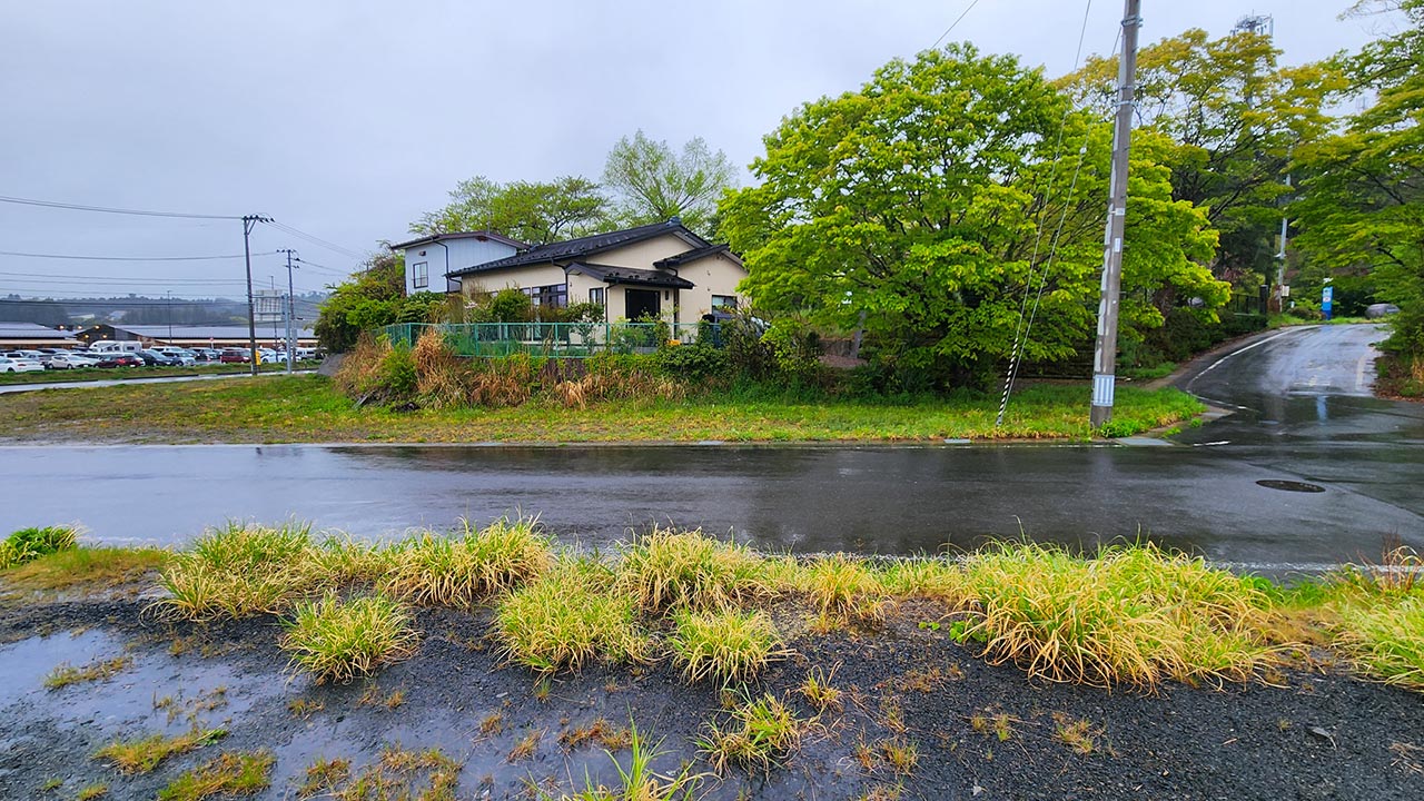
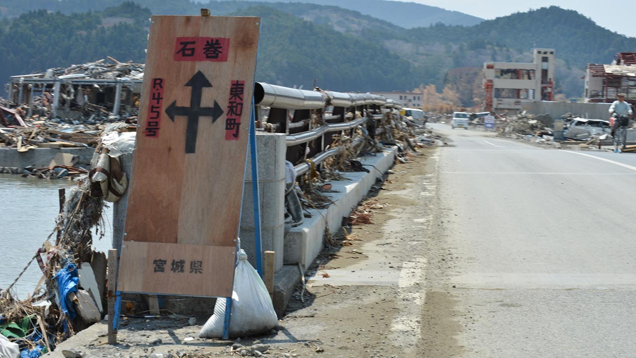
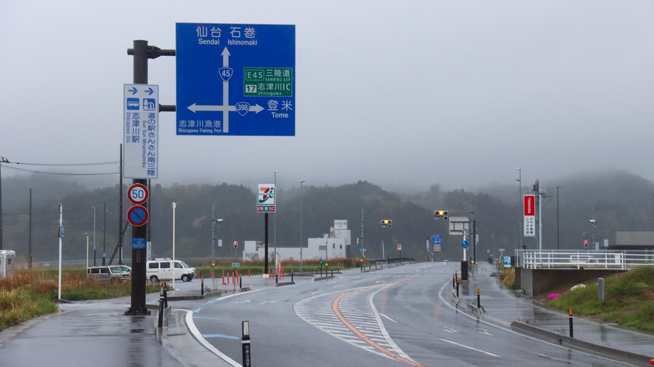
The main road in the direction of Ishinomaki:
Kesennuma City
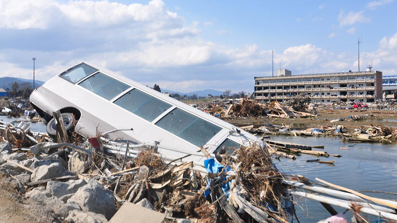
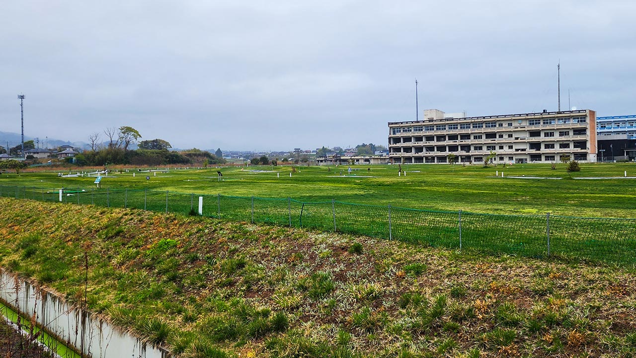
The former Koyo High School, now the Kesennuma City Memorial Museum:
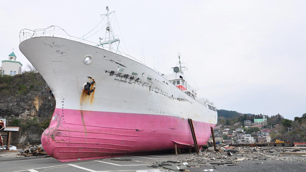
The Myojinmaru No. 3 was refloated and continued operating as a tuna fishing vessel until its retirement in 2025:
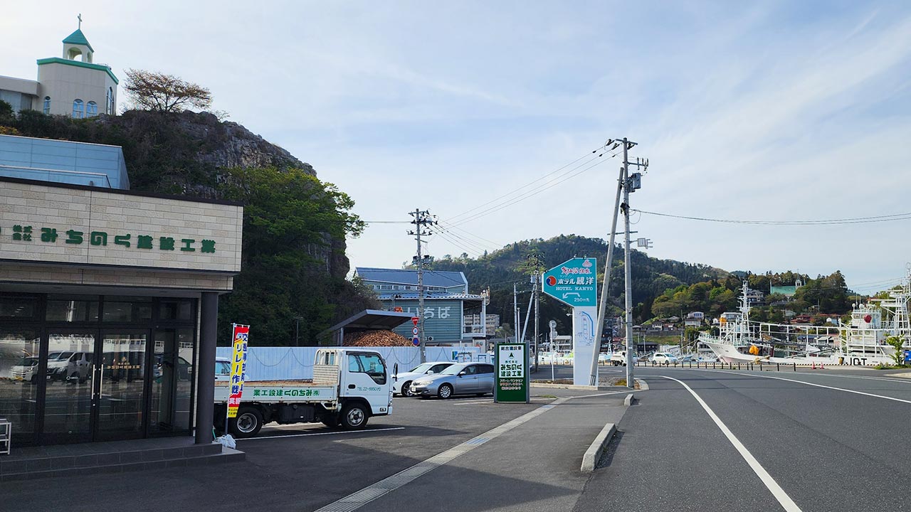
Kesennuma's Shishiori district in 2011 and now:
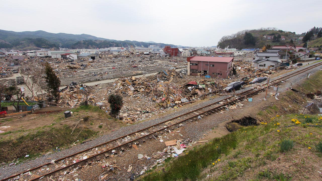
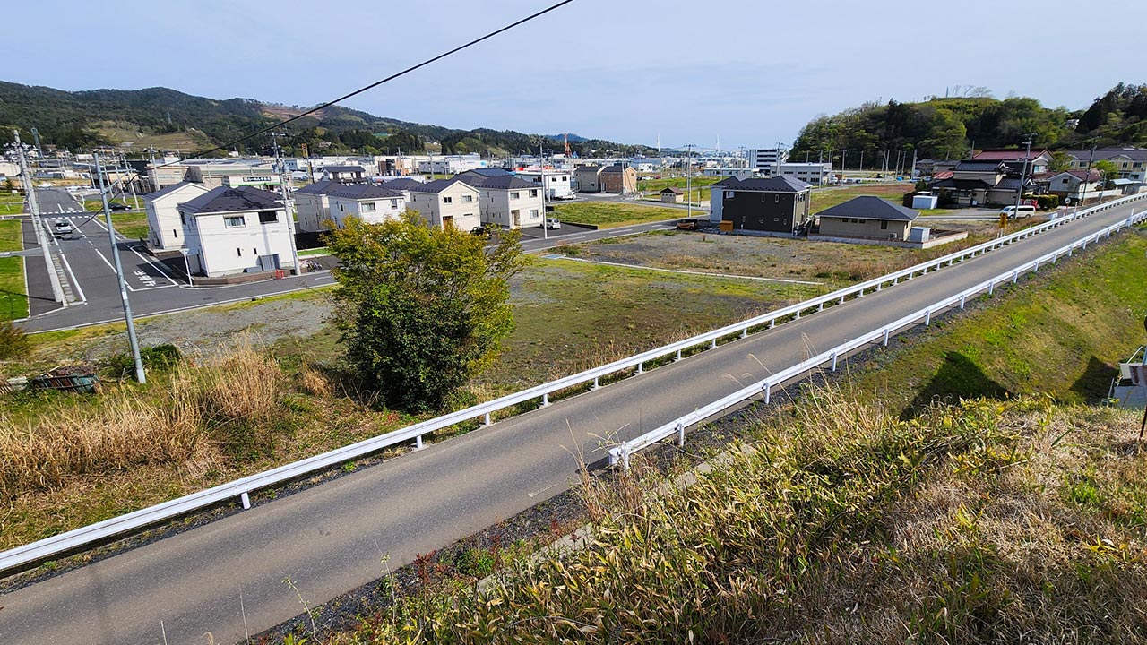
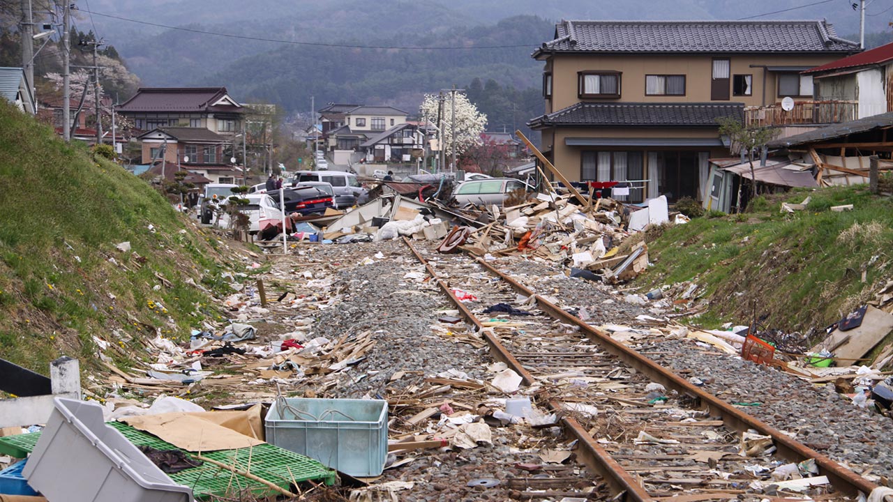
The railway line was converted into a bus rapid transit (BRT) route:
The Kesennuma Bay Crossing Bridge, part of the Sanriku Expressway, now spans the bay. Behind it, the arched Kesennuma Oshima Bridge connects Oshima Island to the mainland:
Rikuzentakata City
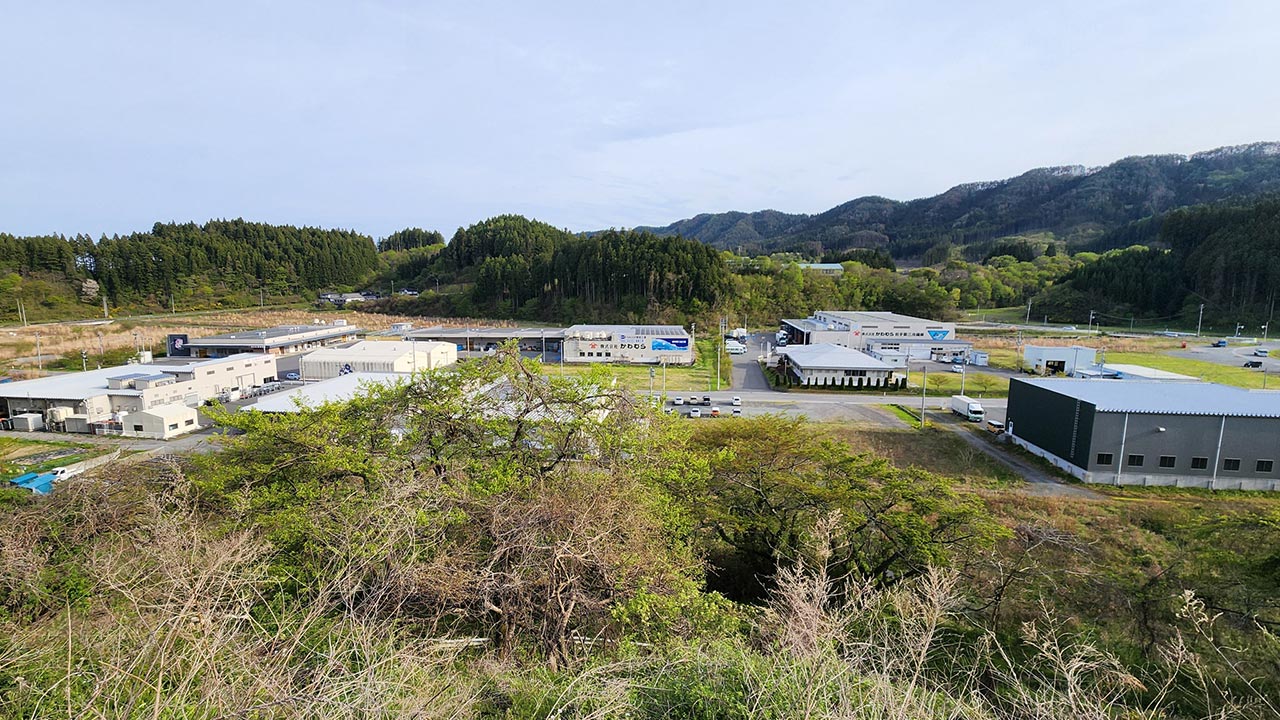
Some of the first buildings rebuilt after the disaster were those of this seafood processing plant just outside central Rikuzentakata. Restoring jobs was a top priority to encourage residents to stay and help local businesses survive:
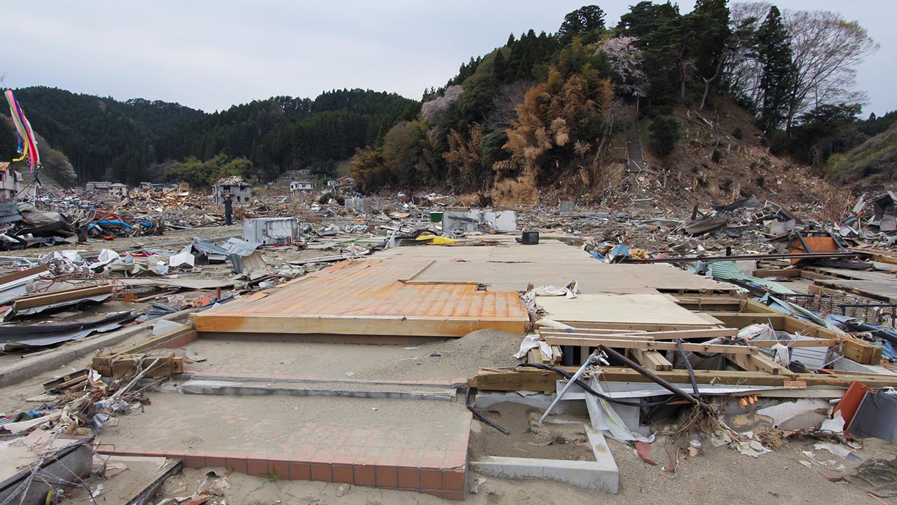
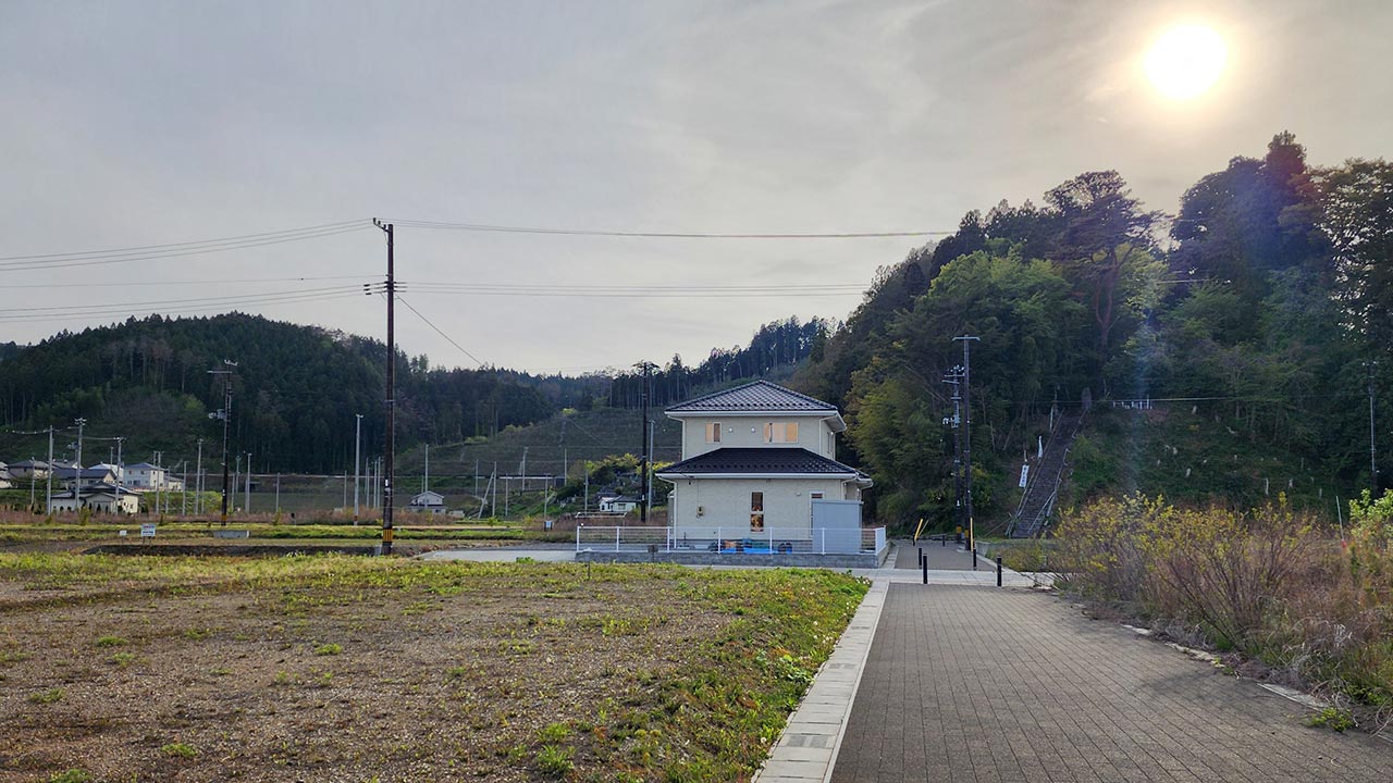
New houses on the outskirts of Rikuzentakata:
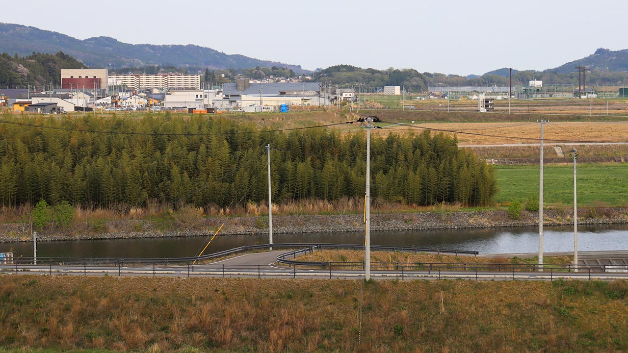
View towards central Rikuzentakata (note how the city center was raised by up to 12 meters, a monumental undertaking that took many years to complete):
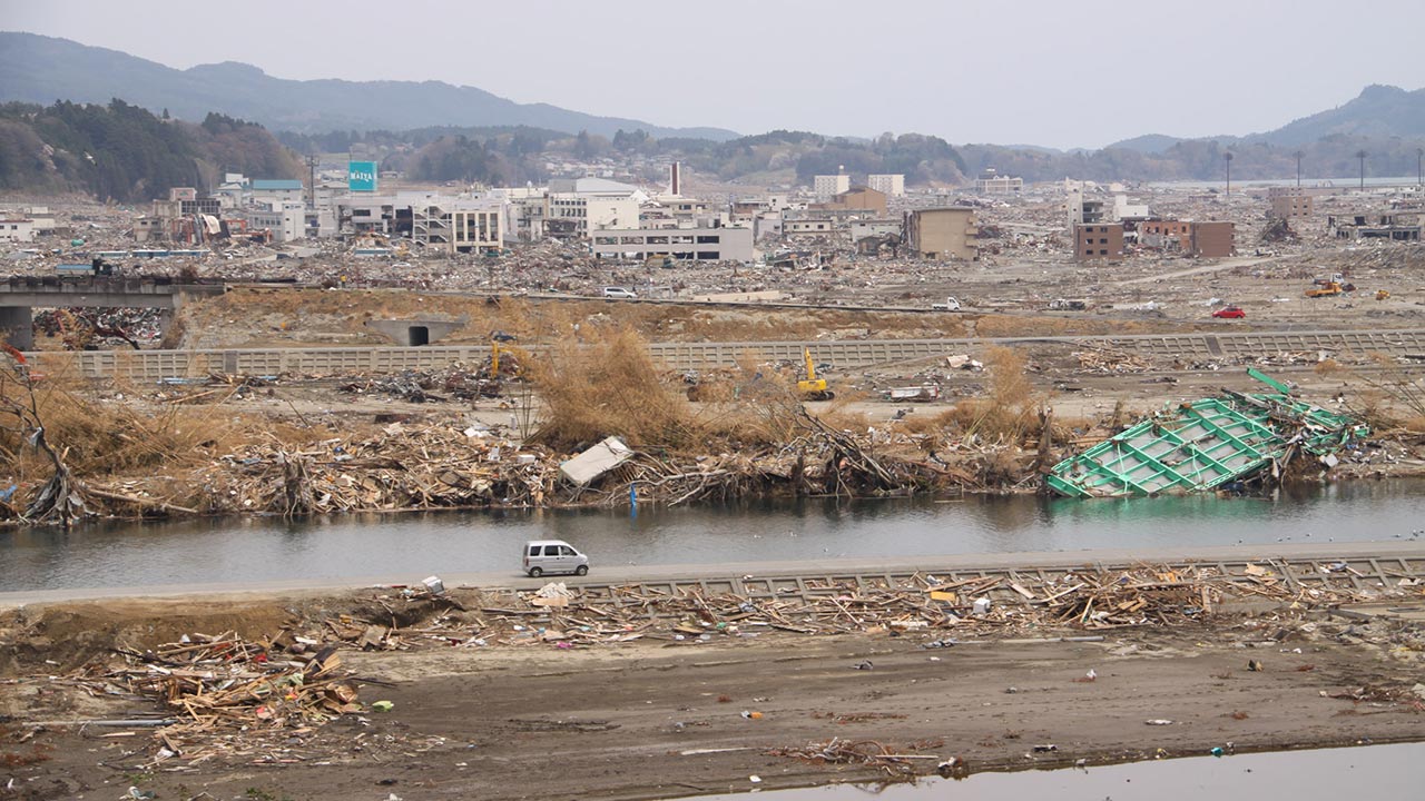
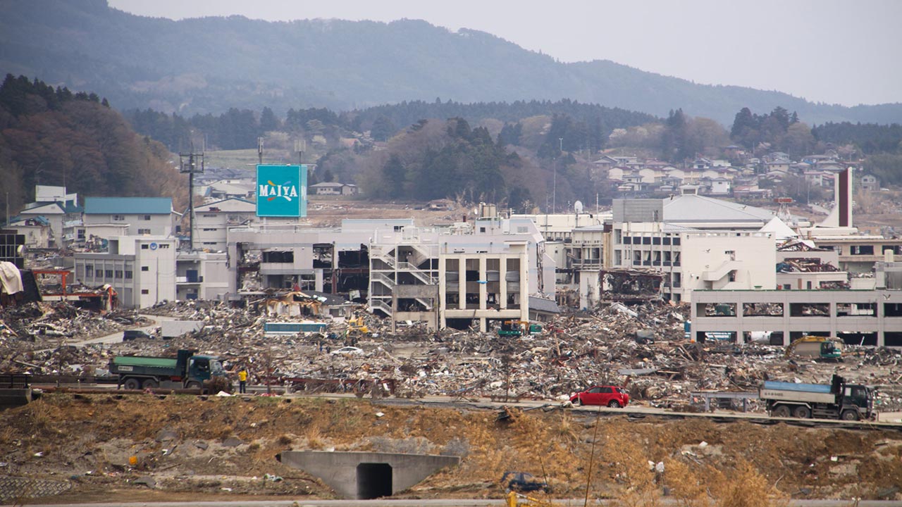
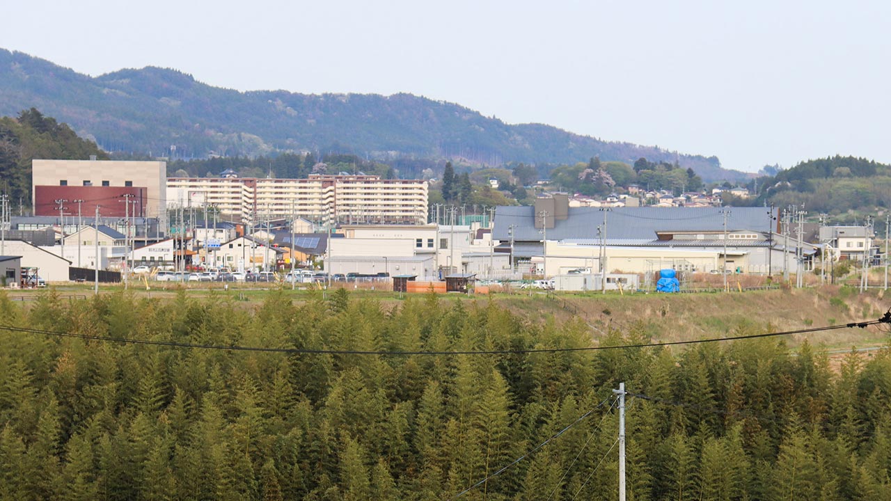
A closer view:
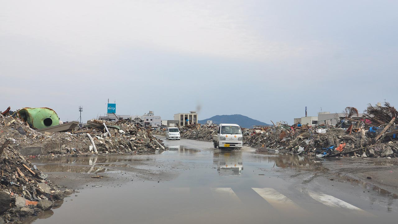
The streets of central Rikuzentakata then and now:
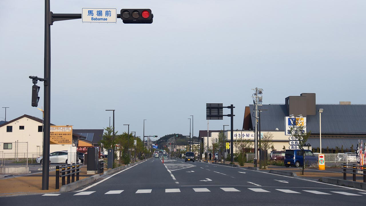
Kamaishi City
The small coastal district of Toni, on the outskirts of Kamaishi:
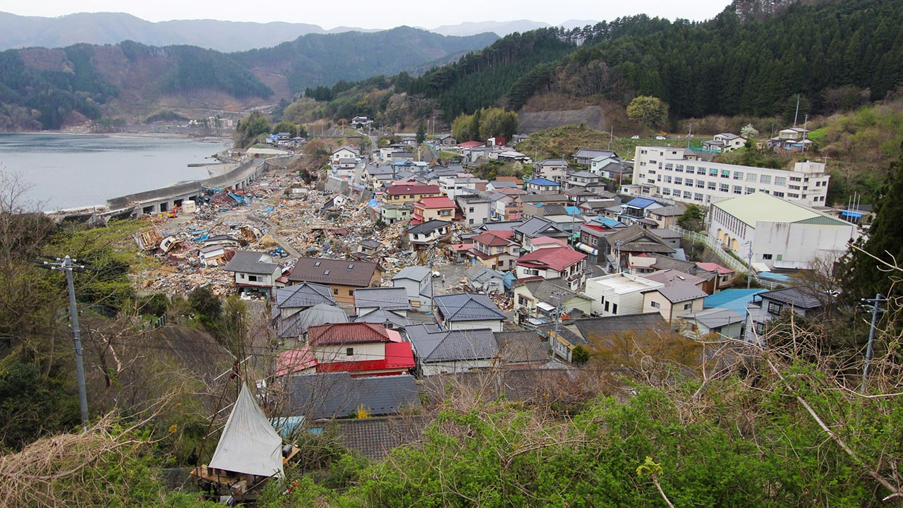
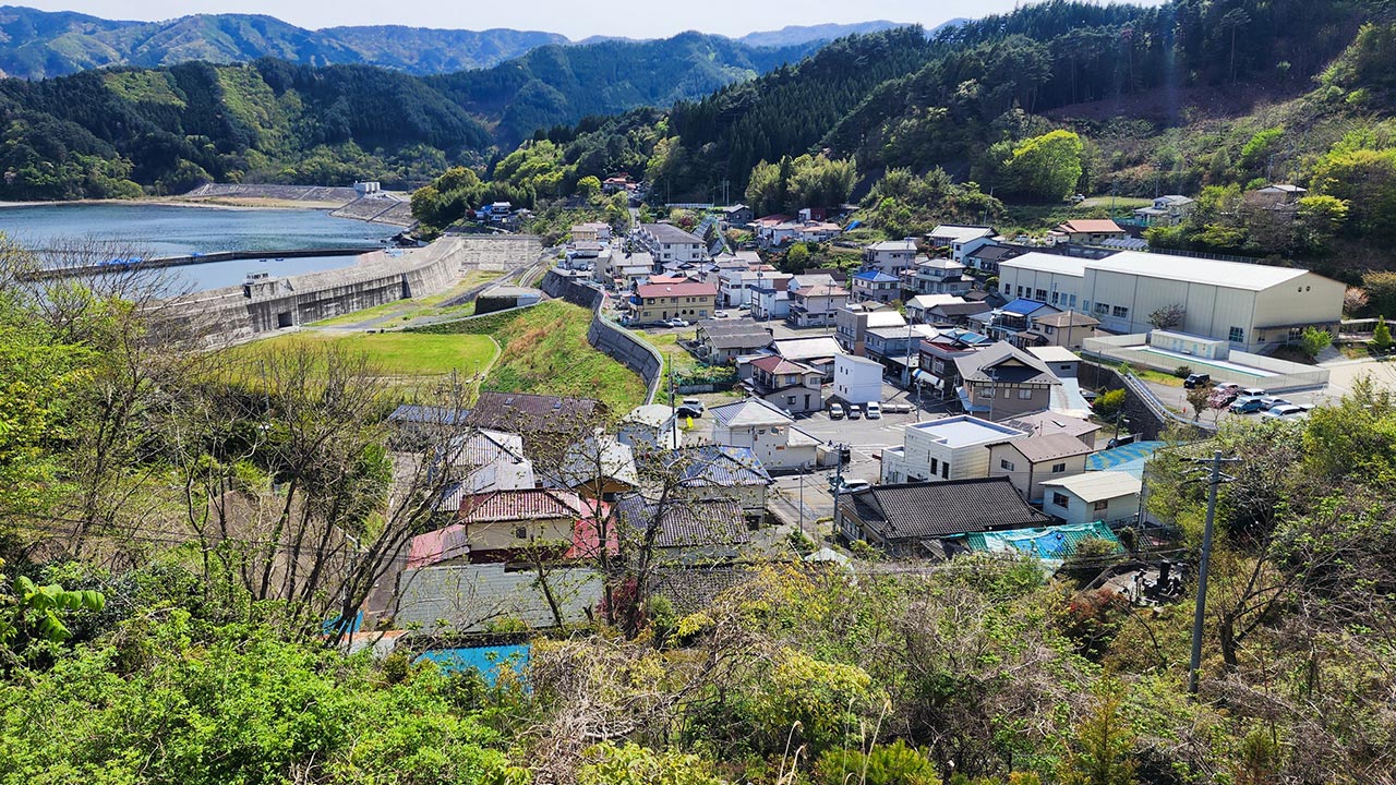
The Asia Symphony was also refloated after the tsunami and remains in service, now under the Russian flag:
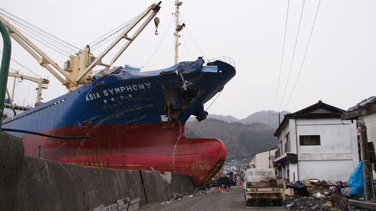
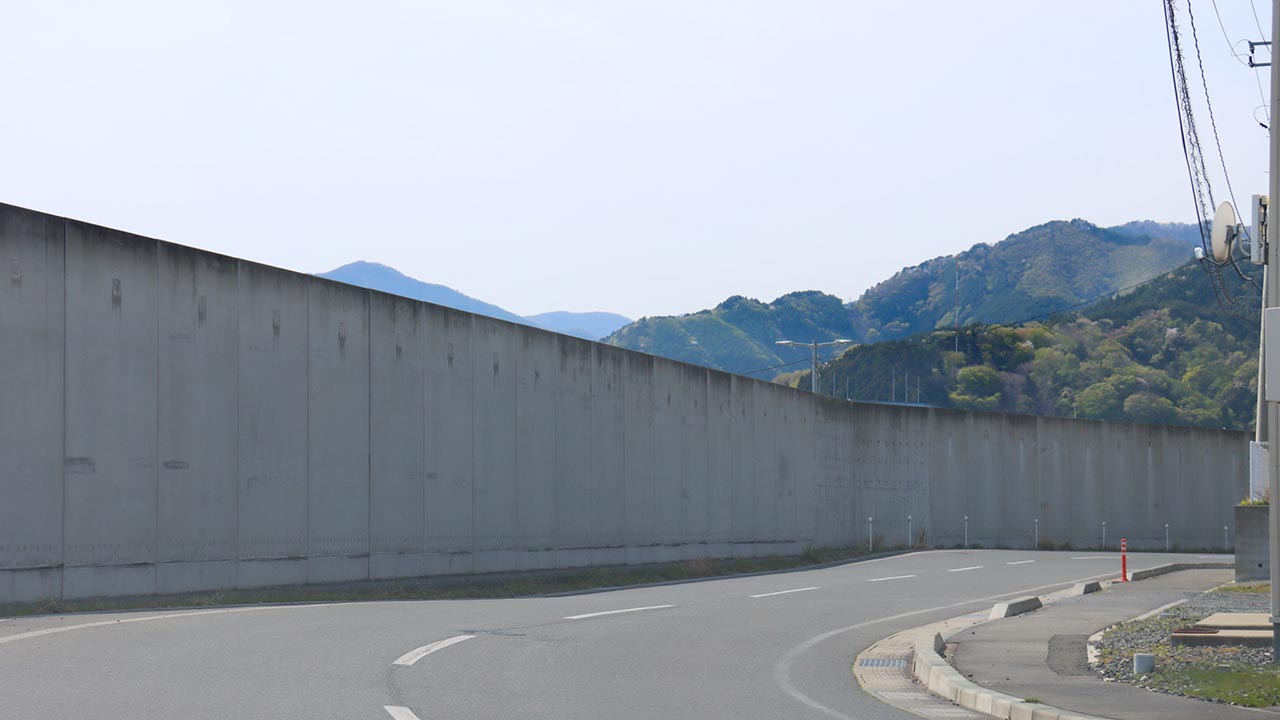
The Asia Symphony viewed from a different angle:
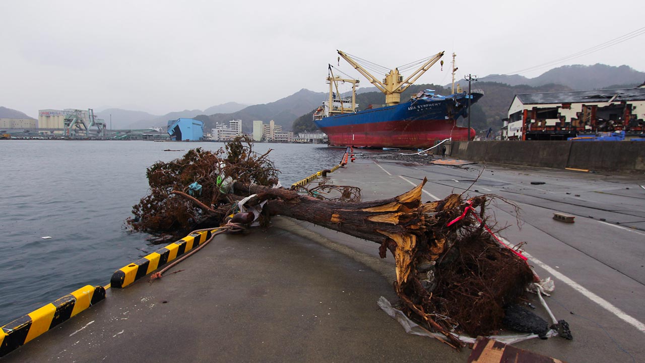
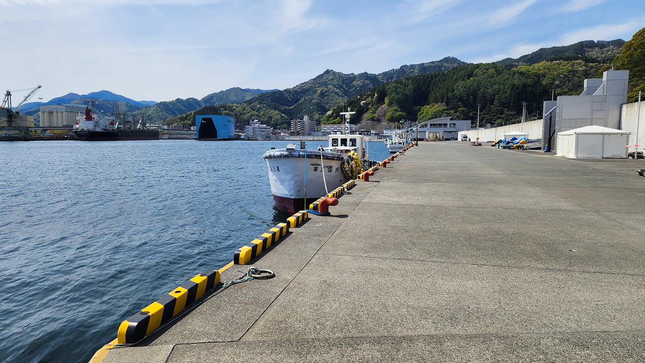
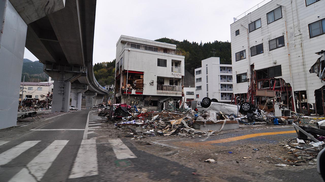
In Kamaishi's Tadakoecho district:
Miyako City
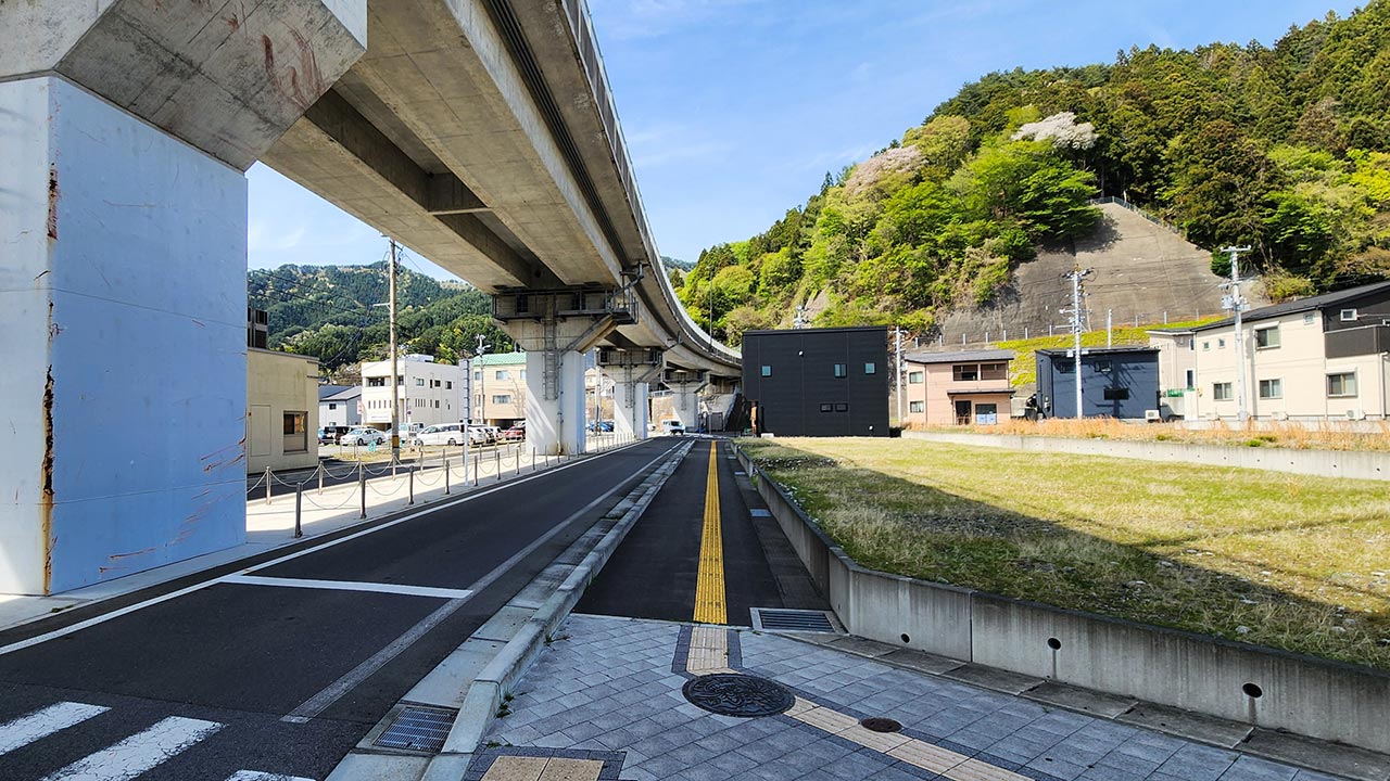
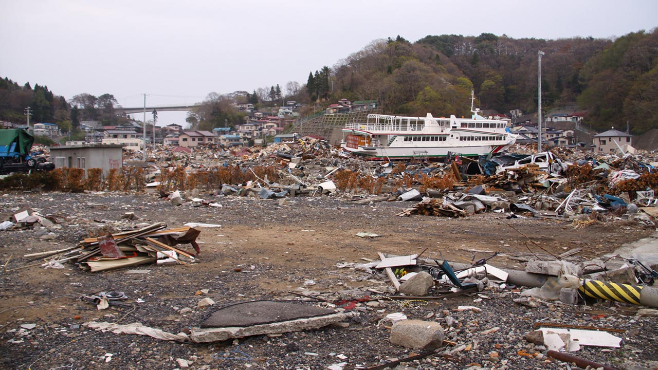
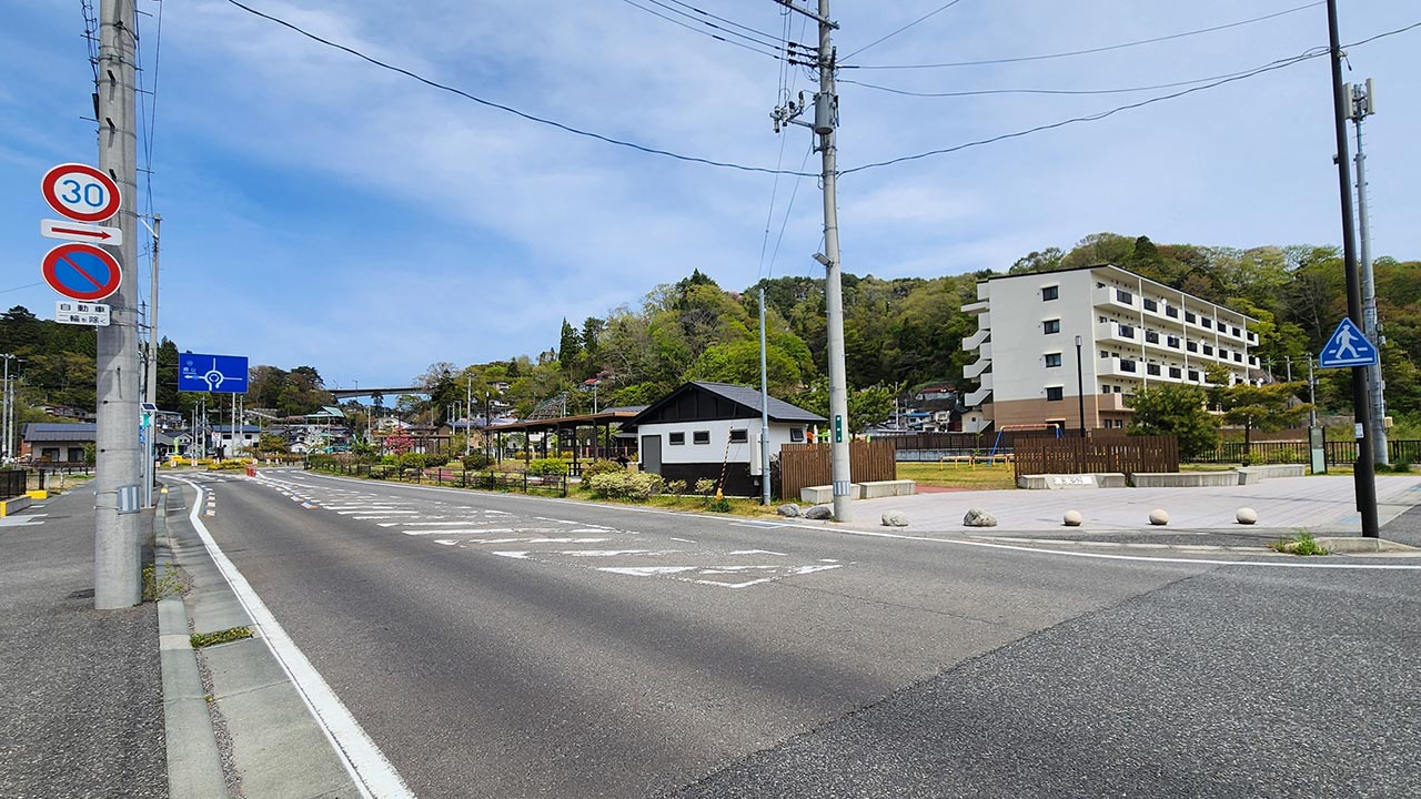
Miyako's Kuwagasaki district in late April 2011 and 15 years later:
Today's junior high school students and younger children were all born after the 2011 tsunami: