From Mount Jinba to Mount Takao

Located just an hour west of central Tokyo, Mount Takao is a popular destination for visitors and locals looking for a quick escape from the big city. For confident hikers however, Mount Takao can also be the gateway to a much bigger challenge - a full-day route spanning four peaks, surrounded by spectacular mountain scenery and sweeping views across the Kanto Plain.
Having had my eye on the route for some time, I finally decided to give it a try, leading to a very satisfying day of hiking - first up Mount Jinba on the Tokyo-Kanagawa prefectural border, then continuing along the ridge summiting Mount Kagenobuyama and Mount Shiroyama before ending the day at Yakuoin Temple close to the summit of Mount Takao.
Apart from its great scenery and ease of access, this route has the key advantage of being easily adapted to suit your climbing ability, schedule or travel plans - visitors can walk the same route in reverse, climb any of the peaks individually or even make an early descent along one of several branching paths.
Making an early start, I took the JR Chuo Line from Tokyo to Fujino, wih one quick change at Takao Station.
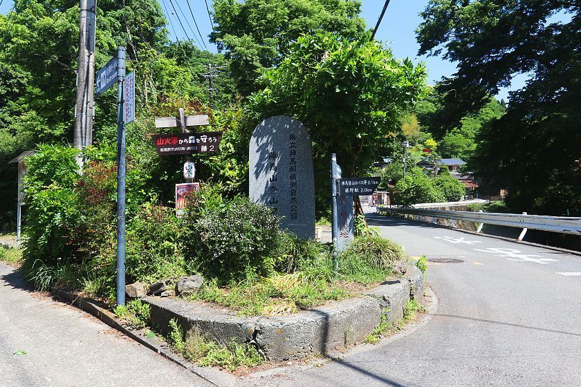
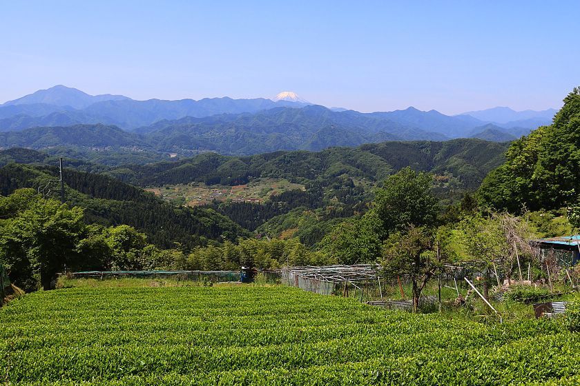
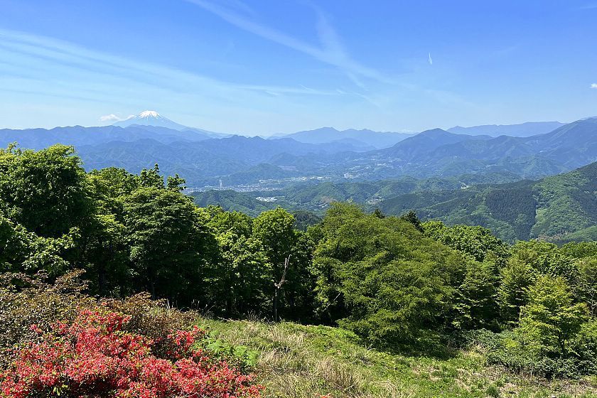
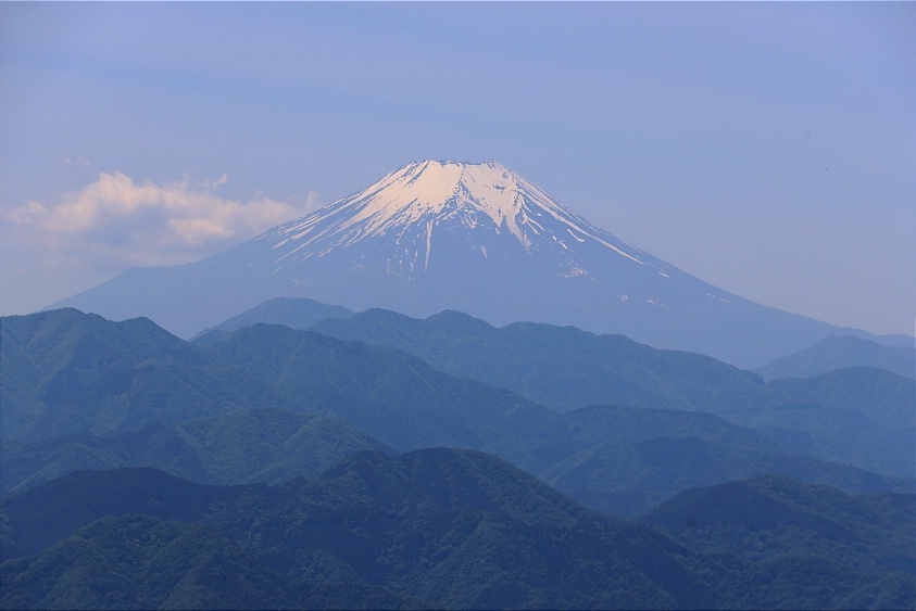
Turning right out of the station's north exit, I followed a paved road through a length of tunnel and uphill for about 40 minutes to a sign marking the Jinba Tochiya Trailhead. From here, the road turned steeply uphill, winding through a cluster of quaint country houses where I caught an early glimpse of Mount Fuji.
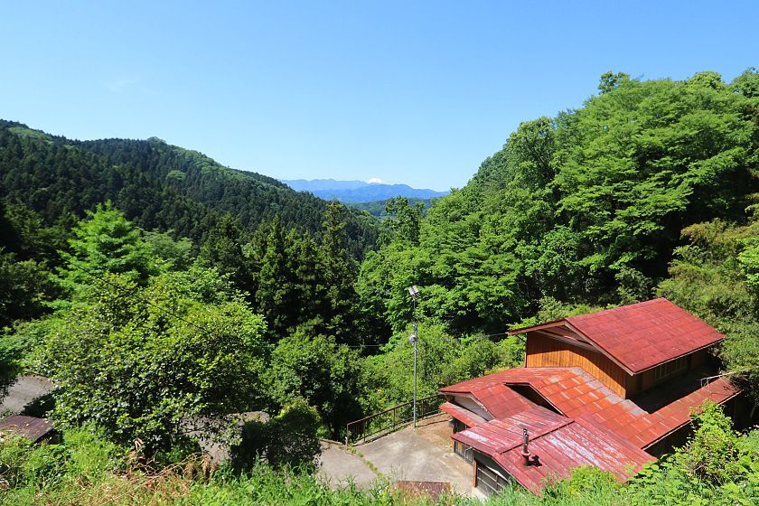
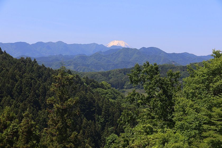
A breathless push up an especially steep section knotted with roots brought me to the top of Mount Jinba - my first peak of the day, and the highest at 855 meters above sea level. Just a few steps from the summit, marked by a distinctive horse statue, I enjoyed a clear view of Mount Fuji from a pleasant grassy space and a rest stop offering bowls of noodles.
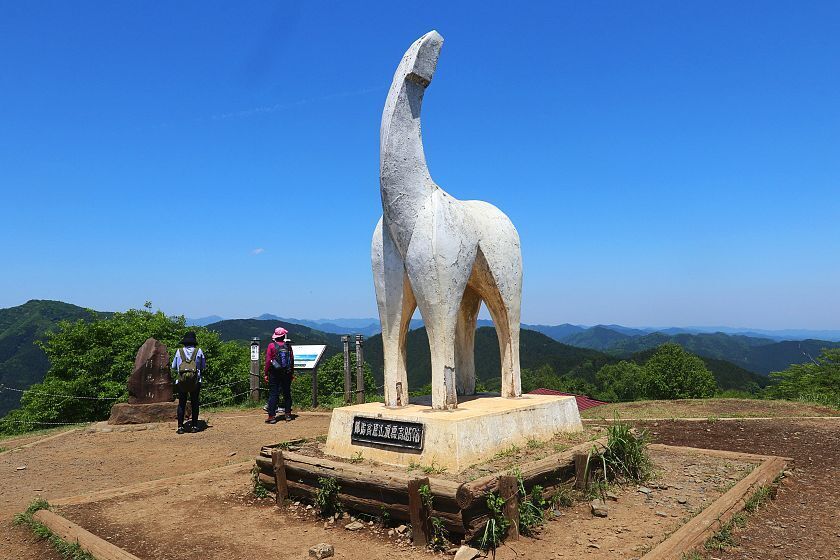
battle horse
After taking a few minutes to enjoy the view and catch my breath, it was time to move on. Making my way down from the summit on the Fuji side, I followed the Kanto Fureai No Michi along the ridge towards peak number two.
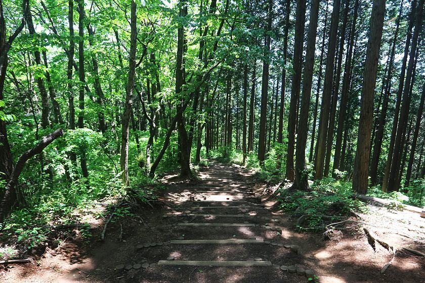
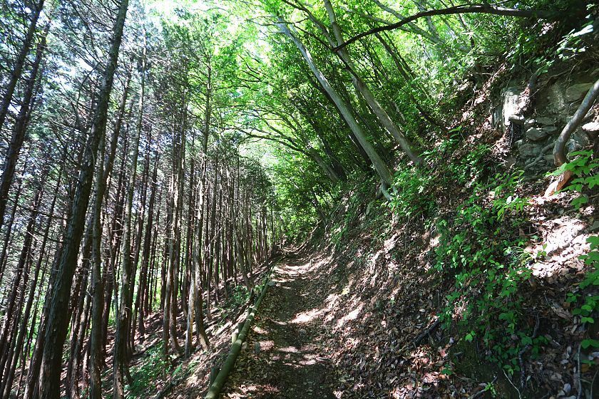
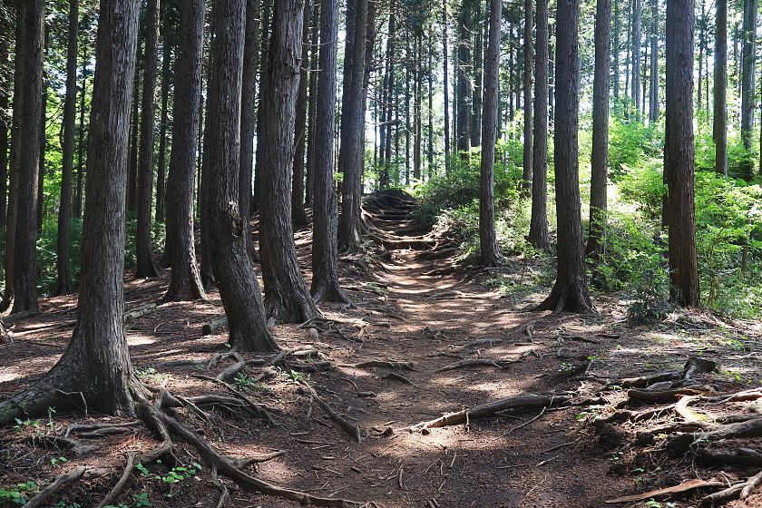
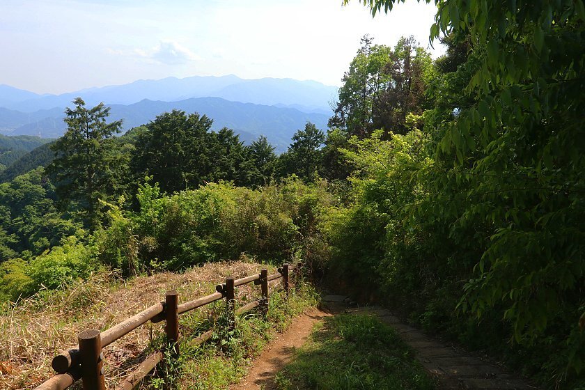
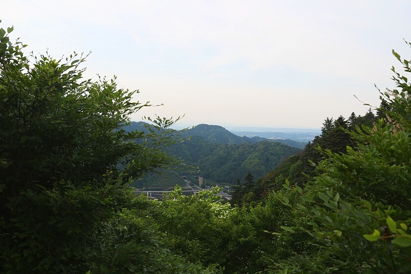
This second leg of the journey from Mount Jinba to Mount Kagenobuyama was perhaps the gentlest, the path now alternating between up and down as well as the occasional welcome section of flat. It was interesting to watch the composition of the surrounding forest gradually change, as pines and cedars gave way to broad leaf varieties including some enormous Japanese oaks.
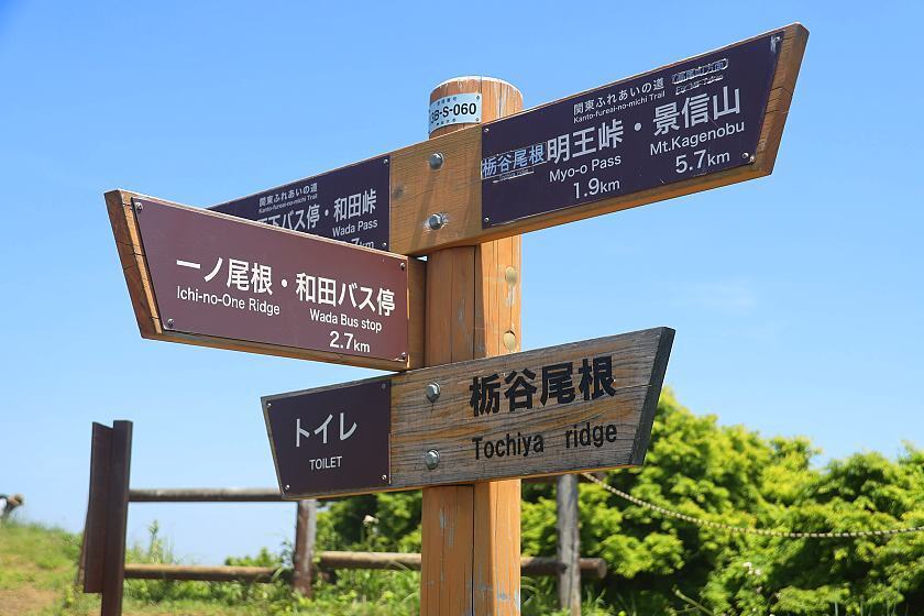
Along this section of the route, the path began to branch off quite frequently. Although a little confusing at first glance, these were all well-signed and served a purpose - sometimes simply offering an easier way around an especially steep climb.
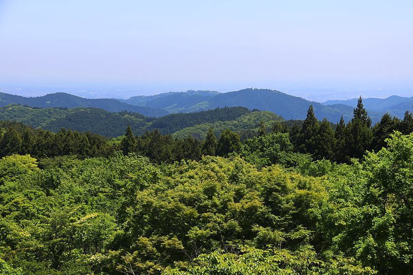
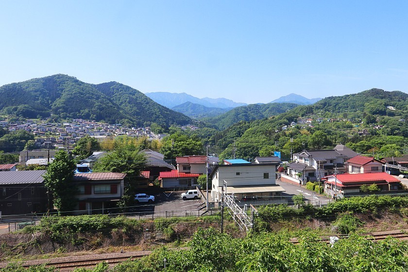
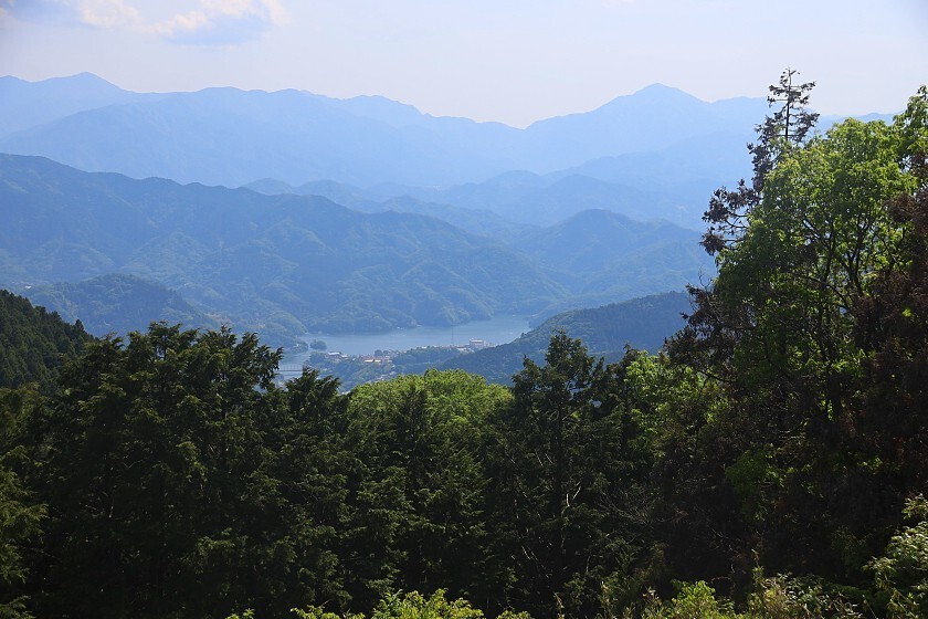
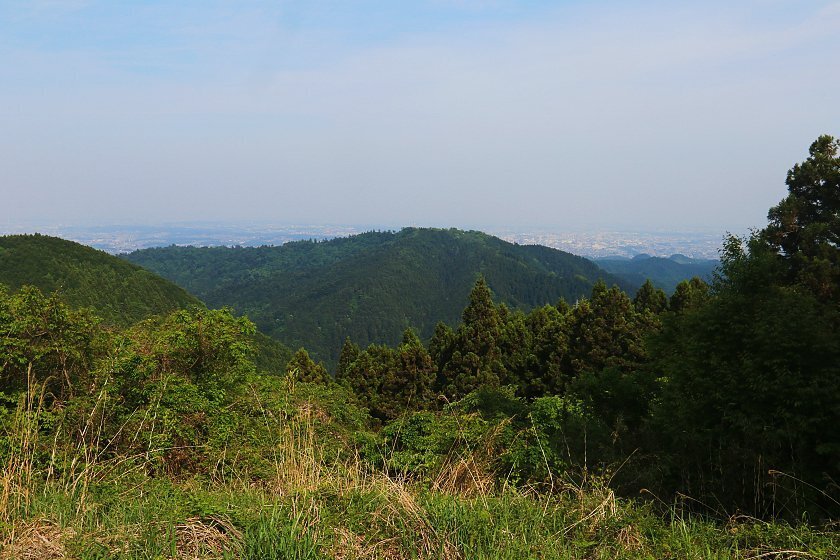
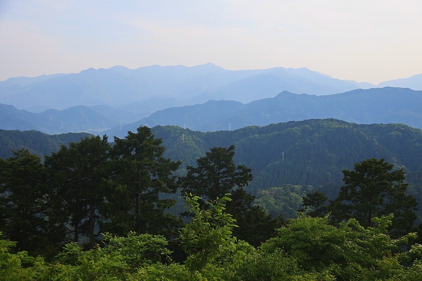
At 727 meters above sea level, the summit of Mount Kagenobuyama is somewhat lower than Mount Jinba's, but I still saw some of the best views of the day here over densely wooded ridgelines towards Hachioji and the Sagami River. As with Mount Jinba, there is a teahouse with plenty of picnic tables for climbers to use, but the teahouse itself is closed on weekdays so I was forced to rely on the water and snacks I was carrying.
From here, the next section of path turned steeply downhill and could have been quite slippery in wetter weather. Before long however, it began to even out with a lot of up and down. Again, a number of branching pathways gave me the option to skip some of the more difficult sections before rejoining the main route.
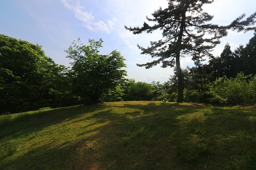
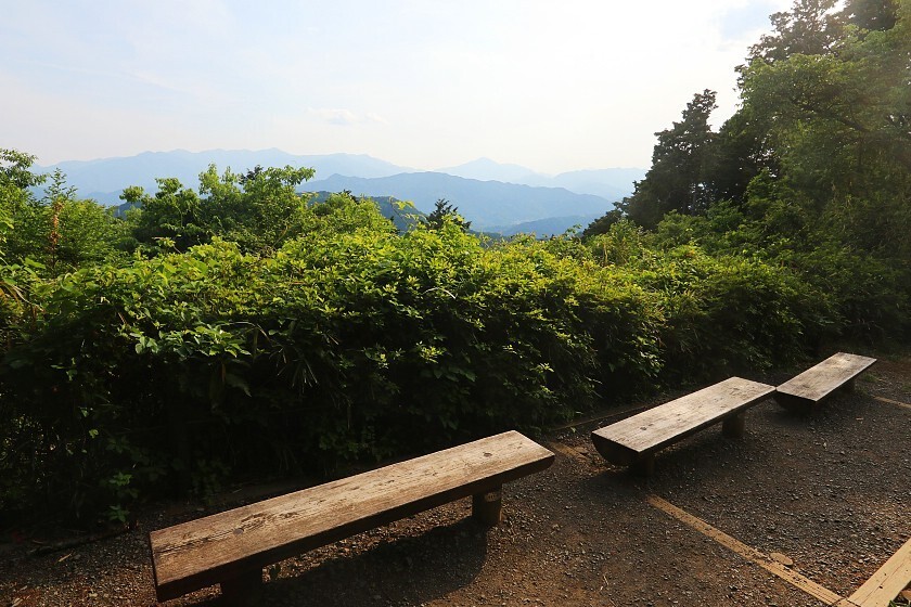
Eventually arriving at the peak of Mount Shiroyama - 670 meters above sea level - I found another teahouse (also open only on weekends) and seating area. Although the view itself was largely blocked by undergrowth, I also discovered a well-maintained garden of sorts with a pleasant grassy space and some flowers.
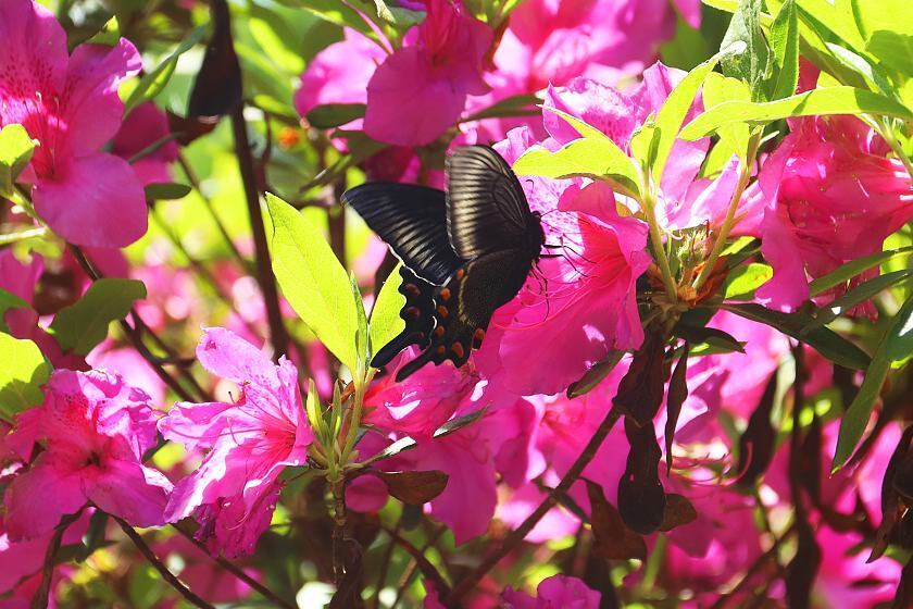
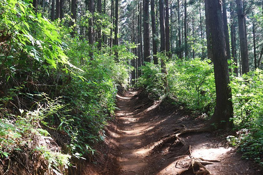
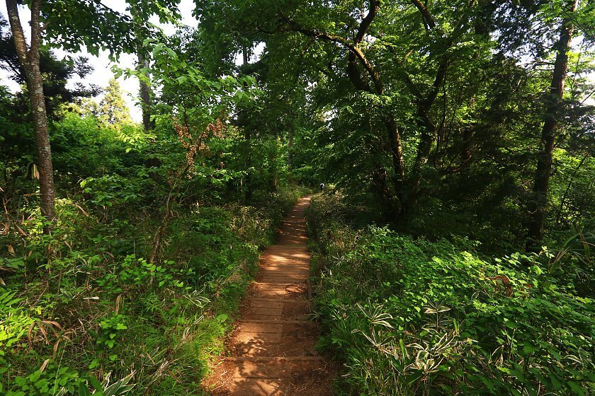
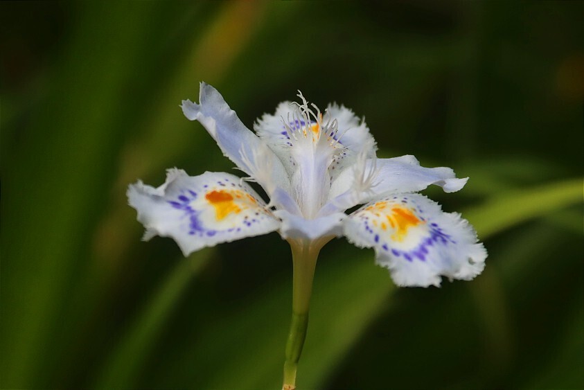
After another welcome pause, I was soon making my way downhill towards the fourth and final peak of the day. By far the busiest section of the route, the path here was constructed from planks and especially well maintained. Noticing that some other walkers were excitedly peering into the undergrowth, I took a look myself and noticed some little alpine flowers peeking out from under the foliage.
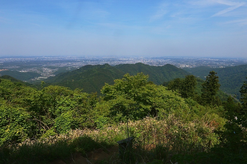
After a final push up a steep section of log steps, I at last arrived at the Takaosan Omiharashidai - a modest but attractive deck facing to the south. By now, the sky was beginning to darken, giving distant mountain ridges the faded quality of an old ink painting. Just a few steps away beside a visitor center, I found a tall sign indicating Mount Takao's actual high point, some 599 meters above sea level.
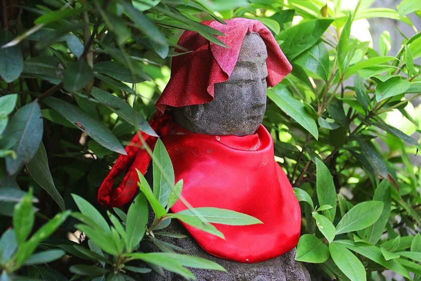
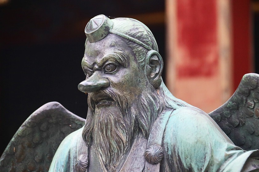
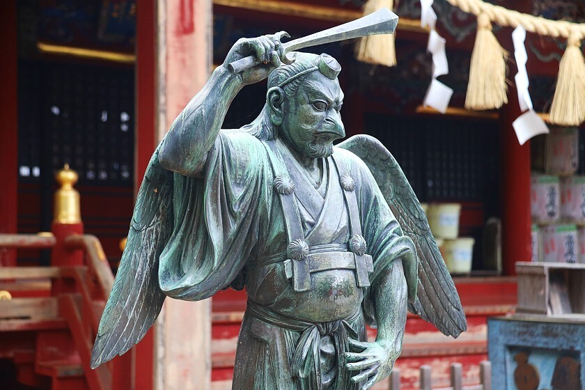
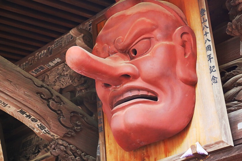
From here, I made my way along a short series of paths to Yakuoin - a wonderfully atmospheric temple complex originally founded in 744. Today, it is especially well known for its many depictions of the winged, long-nosed creatures known as tengu.
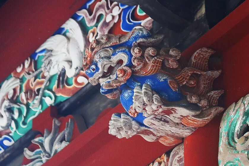
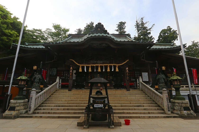
In fact, the mountain's tengu can be understood as a mythological reference to its long history as a center of Shugendo, or ascetic mountain worship; a practice combining elements of Buddhism, Shinto and more obscure folk beliefs. Within moments of arriving at the templeüfs beautifully decorated main building, the quiet was broken by a piercing blast from a conch shell and the sound of chanting nearby - a well-timed reminder that the temple is not just a scenic spot, but still a place of intense religious practice.
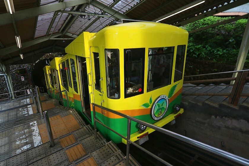
After a few minutes to take in the temple buildings and surrounding views, it was finally time to return to ground level. With the light quickly fading, I opted to skip the last downhill stretch in favor of the cablecar, and soon found myself at the trailhead, passing shops, cafes and people.
Although the route is often described as at its best a little earlier in the year, with the cold, clear air making for better views of Mount Fuji, conditions happened to line up perfectly and I was able to enjoy a hugely satisfying day in the mountains. In fact, the entirety of the path is usually accessible all year round, although sturdy boots, crampons and appropriate clothing are essential during the winter months.